Overview
|
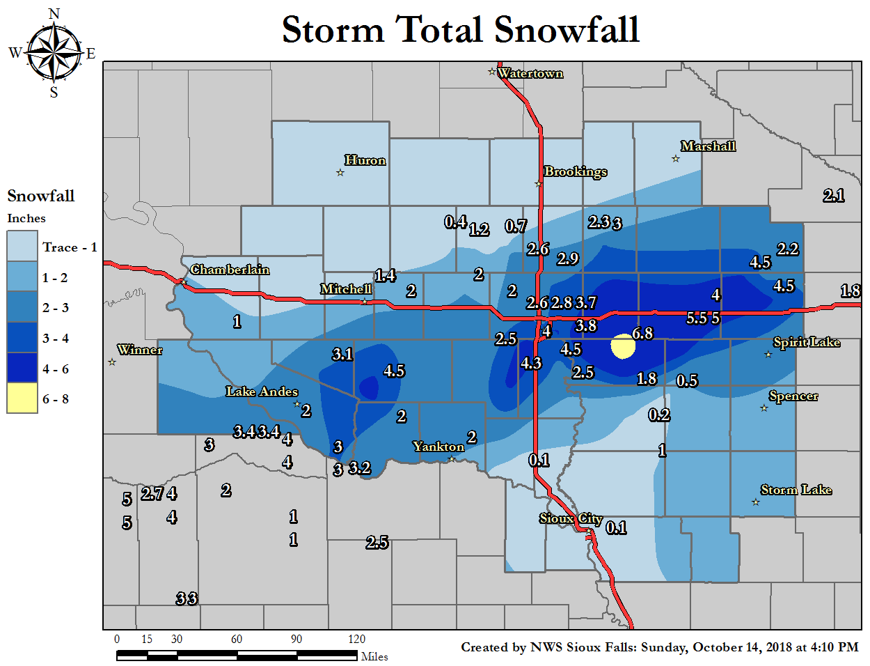
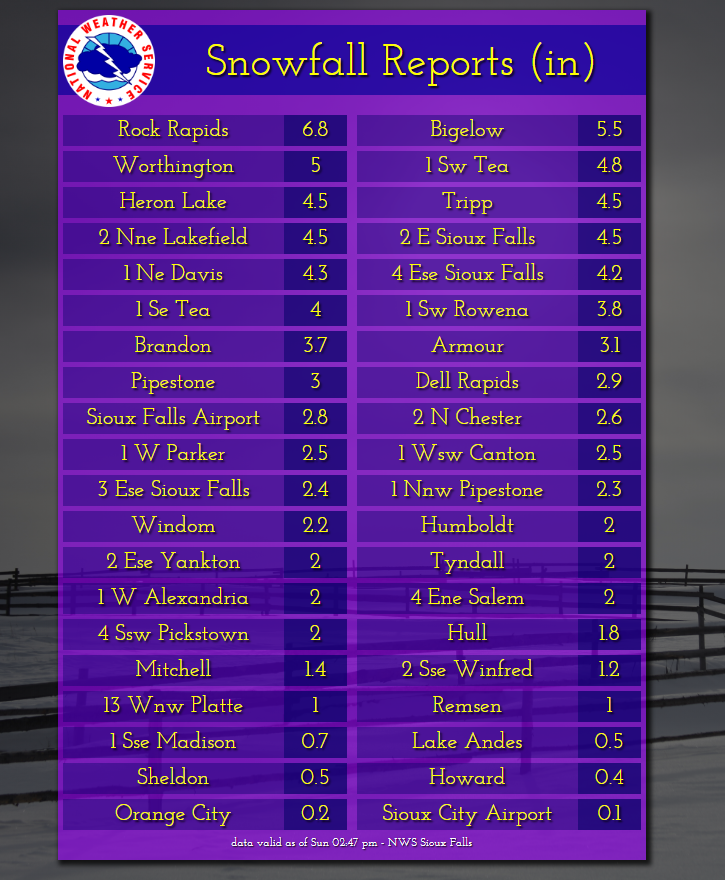
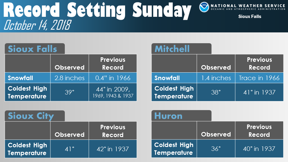
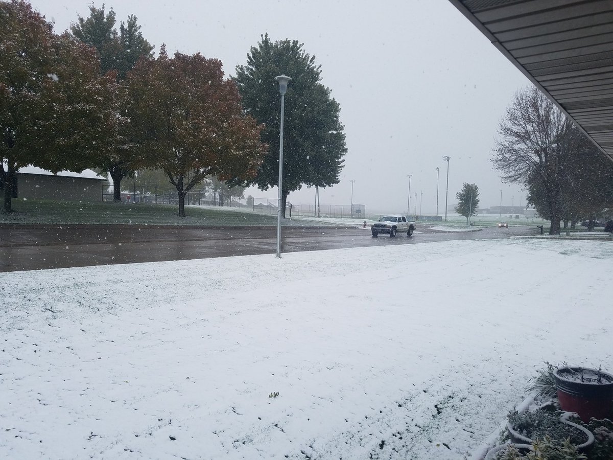
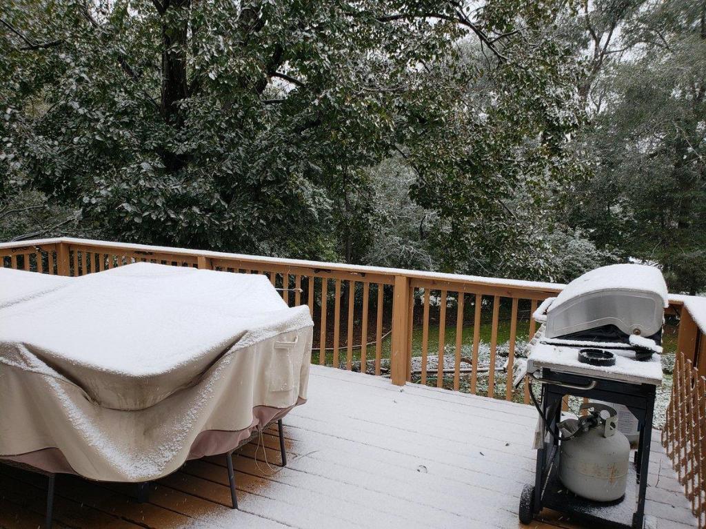
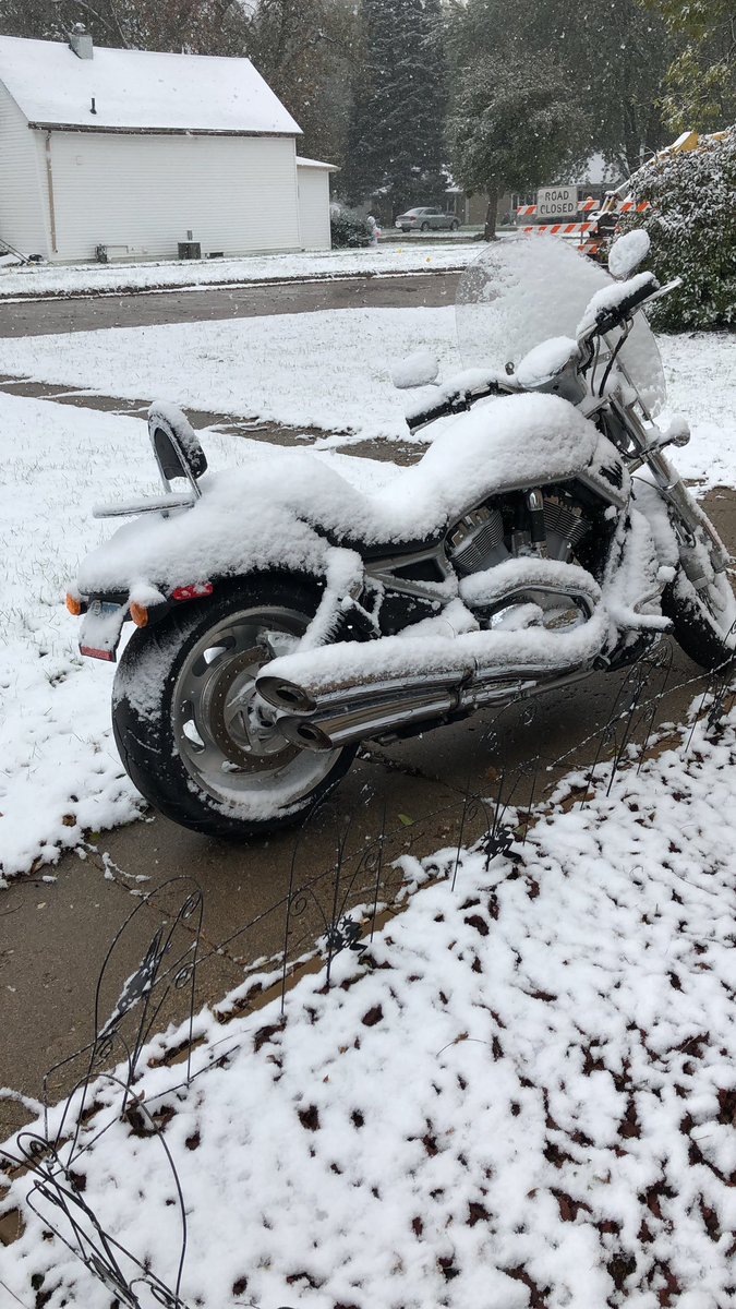
A relatively narrow band of early season snow stretched from far southeast South Dakota, into far northwest Iowa and southwest Minnesota on the morning of October 14, 2018. Amounts of 3 to 5 inches were common within the band, with isolated higher totals reported. The cold air mass which aided in producing the snow, also resulted in several record cold high temperatures for the date. |
 Radar Loop from Midnight to 3 pm Sunday, October 14, 2018 |
 |
 |
 |
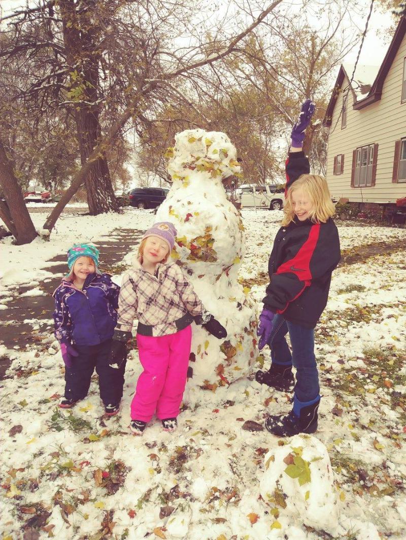
| These kids couldn't wait to get out and play in the fresh October snow in Sioux Falls! (courtesy of @AutumnhopeA) |
Bigelow, MN |
Lakefield, MN |
Snow/Ice
Record Cold
Photos & Video:
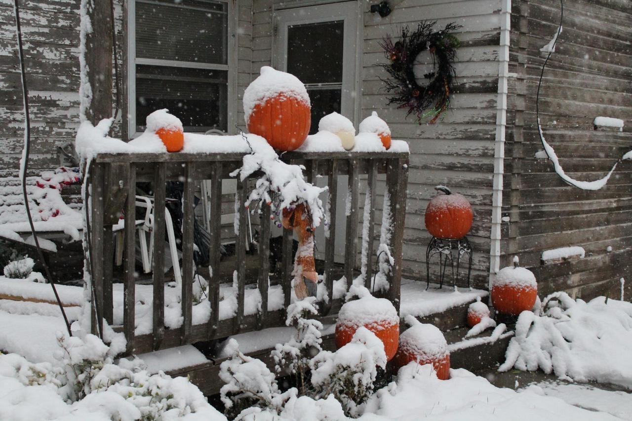
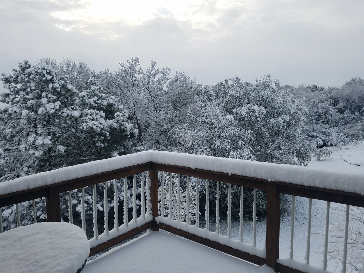
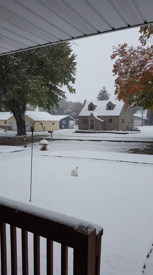
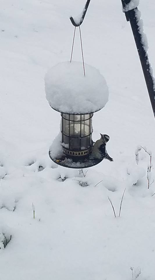
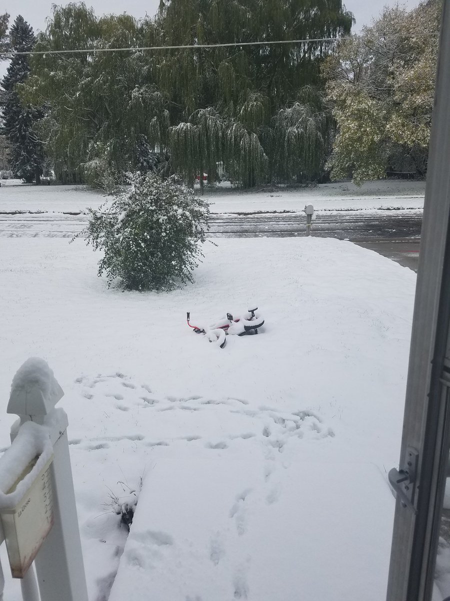
We received several photos from around the area in response to requests on Facebook and Twitter. We can't possibly include them all here, so please check the comments on Facebook, and replies on Twitter for more!
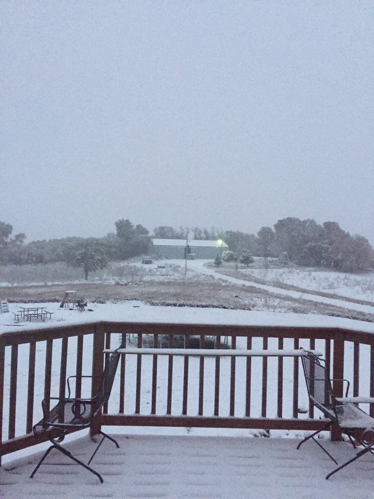 |
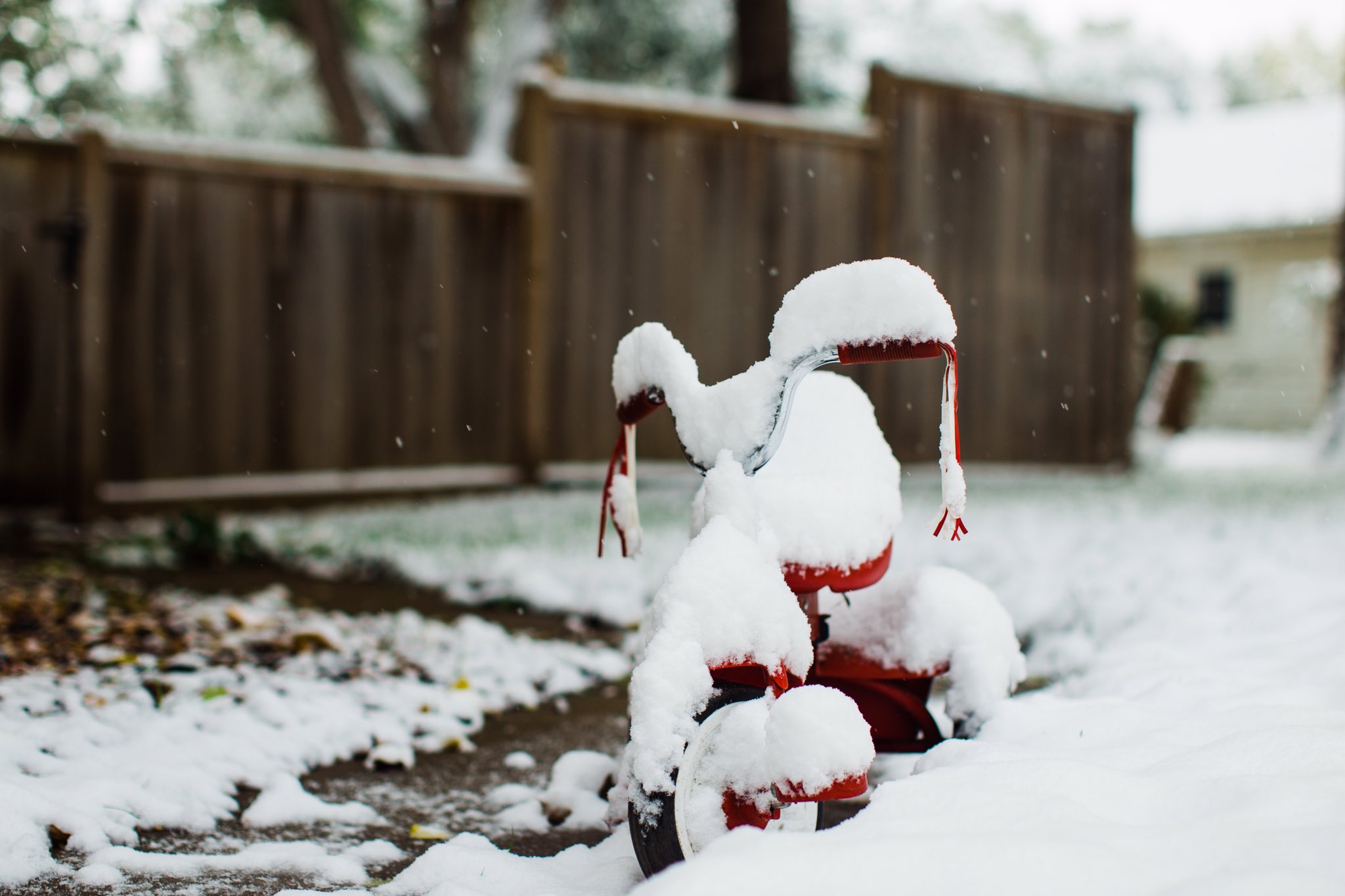 |
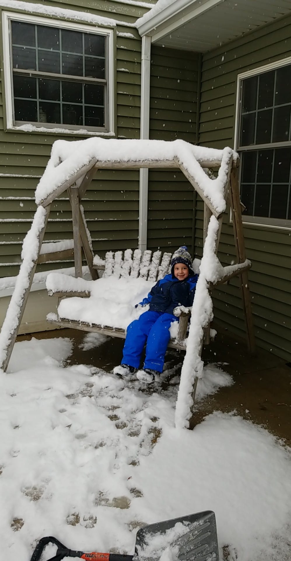 |
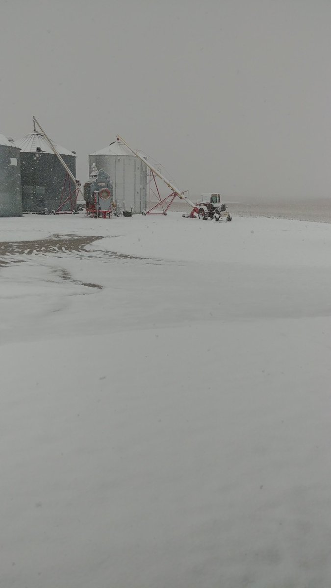 |
| 3 miles east of Chester, SD (courtesy of John E Mersch) |
Sioux Falls, SD (courtesy of @AutumnhopeA) |
Rushmore, MN (courtesy of Heather Belk) |
Bergen, MN (courtesy of Paul Johnson) |
 |
 |
 |
 |
| Good Earth State Park (courtesy of Michelle Randall) |
Hull, IA (courtesy of Holly Whorton) |
Jackson, MN (courtesy of Judy Allen) |
Pipestone, MN (courtesy of Kristyn Taber) |
 |
 |
 |
 |
| Remsen, IA (courtesy of Robert Joines) |
Sioux Center, IA (courtesy of Bonita Van Otterloo) |
Sioux City, IA (courtesy of Jennifer Harms) |
Spencer, IA (courtesy of Marjie Harnack) |
 |
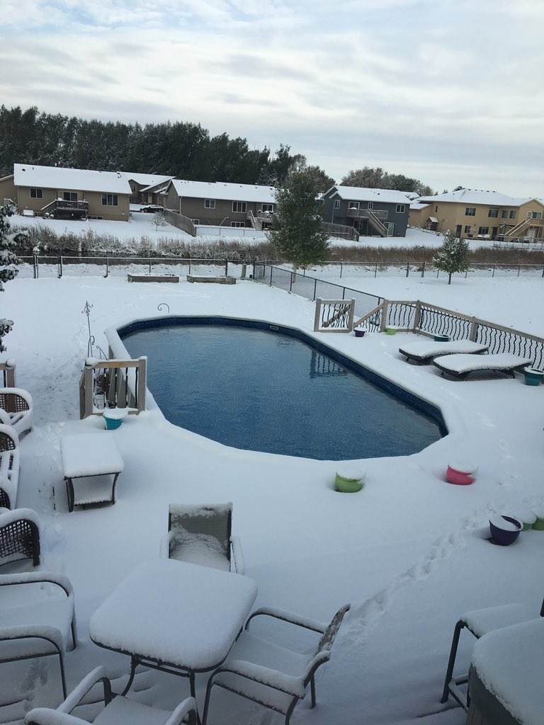 |
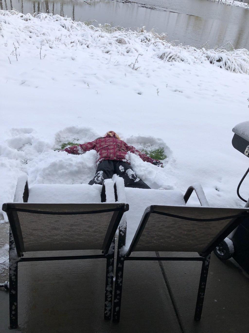 |
|
| Trent, SD (courtesy of Lori Crosley) |
SW Sioux Falls, SD (courtesy of @rjwaggs007) |
Sioux Falls, SD (courtesy of Stacy Auch) |
|
Radar:
Header
 |
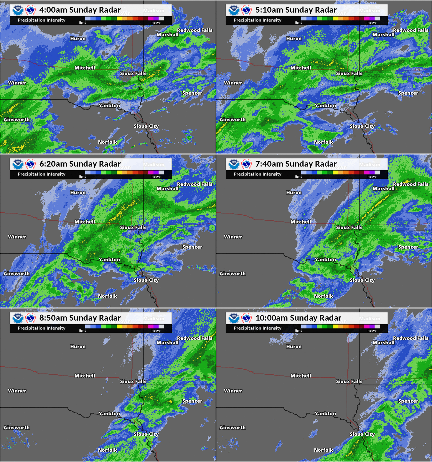 |
| 10 pm Saturday to 4 am Sunday. Note the heavy band which develops between 1 am and 3 am from just south of Sioux Falls into southwest Minnesota |
4 am to 10 am Sunday |
 |
Media use of NWS Web News Stories is encouraged! Please acknowledge the NWS as the source of any news information accessed from this site. |
|



 Weather Story
 Weather Map
 Local Radar
 Follow us on X
 Follow us on Facebook
 Follow us on YouTube
 FSD RSS Feed