Overview
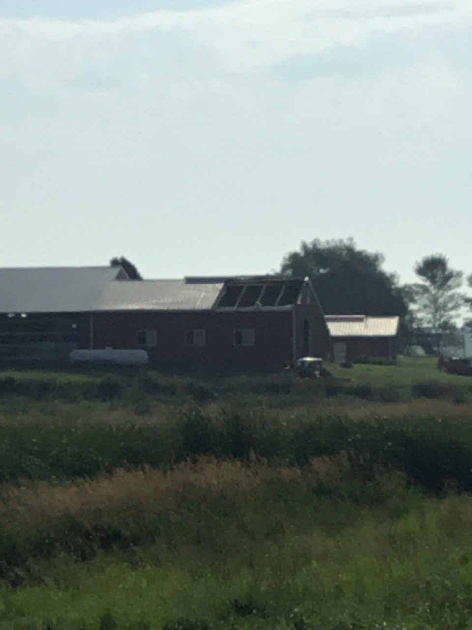
A line of scattered thunderstorms rapidly developed along and north of Interstate 90 in the late afternoon and early evening of July 18th. A thunderstorm near Crooks, SD quickly became tornadic. A brief EF-0 tornado damaged the roof of a barn approximately 5 miles west of Crooks, SD. Maximum winds were estimated to be 75 mph. There were no reported injuries or deaths.
Tornadoes:
|
Tornado - Crooks, SD
Track Map 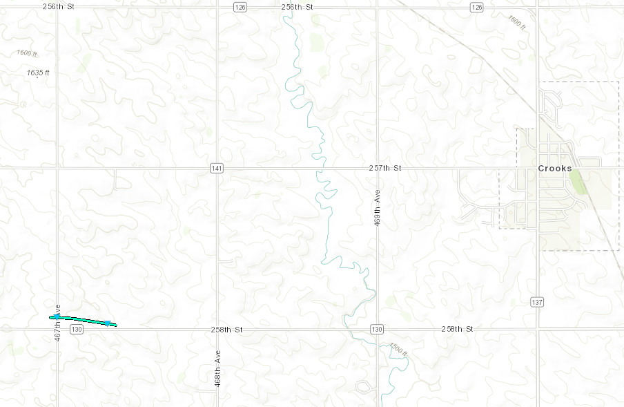 
Downloadable KMZ File |
||||||||||||||||
 |
 |
 |
 |
| Damage to Barn Roof NWS Damage Survey |
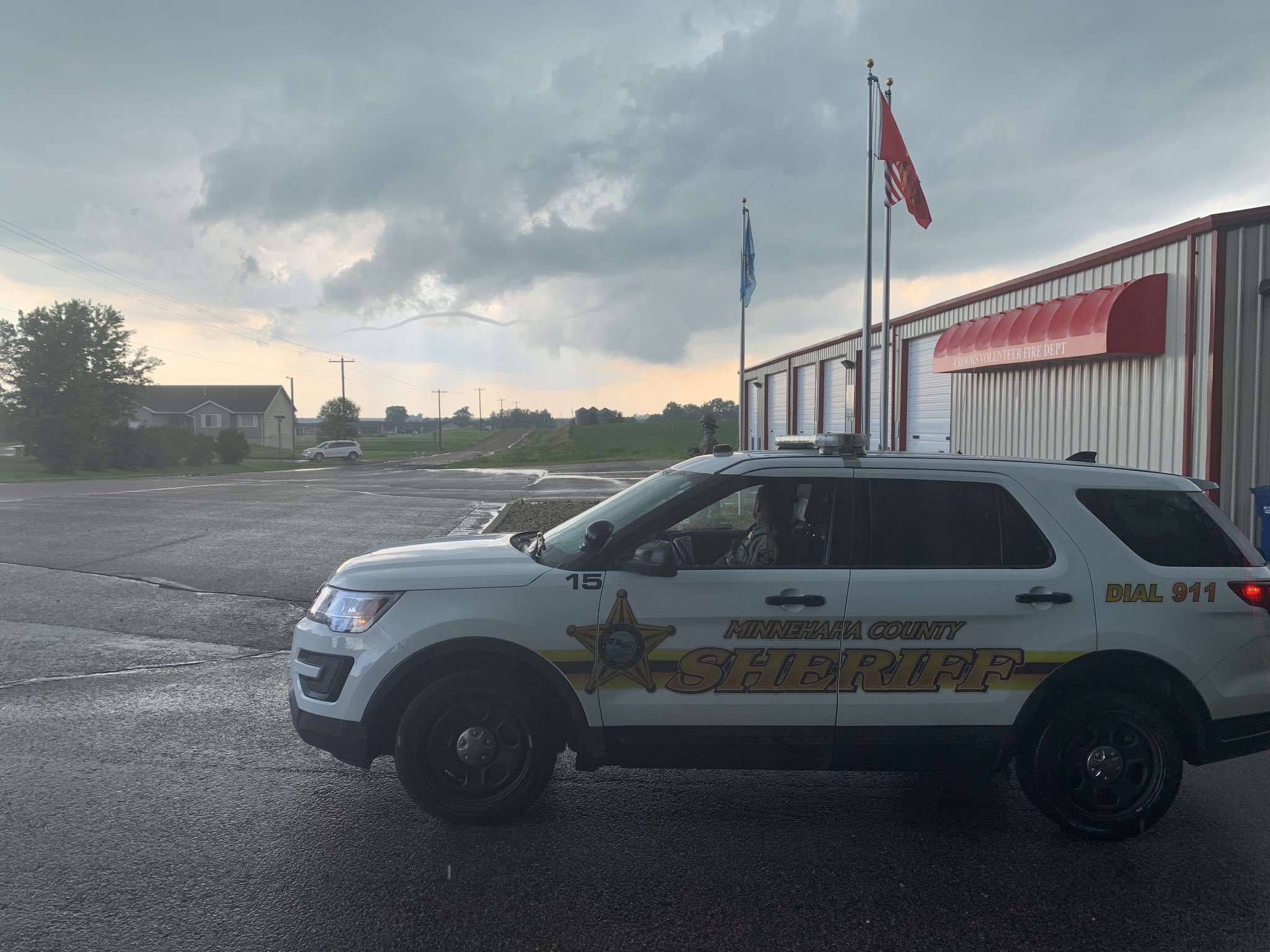
Funnel Cloud West of Crooks Minnehaha County Sheriff |
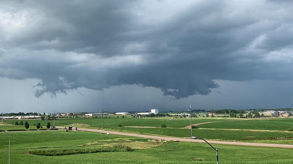
View from Northwest Sioux Falls NWS Employee |
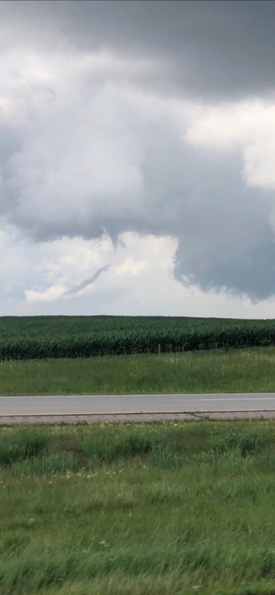
View Northeast on I-90 Between Hartford/Sioux Falls Passerby on I-90 |
The Enhanced Fujita (EF) Scale classifies tornadoes into the following categories:
| EF0 Weak 65-85 mph |
EF1 Moderate 86-110 mph |
EF2 Significant 111-135 mph |
EF3 Severe 136-165 mph |
EF4 Extreme 166-200 mph |
EF5 Catastrophic 200+ mph |
 |
|||||
 |
Media use of NWS Web News Stories is encouraged! Please acknowledge the NWS as the source of any news information accessed from this site. |
|


 Weather Story
 Weather Map
 Local Radar