Overview
|
A significant winter storm moved across the area beginning on Friday, Jan. 17, 2020. This system provided a wide array of winter weather for the region, including snow, freezing drizzle/rain, high winds, and blizzard conditions. Most locations saw 4-8" inches of snow by the time the system moved out on Saturday. Freezing drizzle and freezing rain brought a glaze of ice for most, but upwards of a quarter inch of ice in and near Sioux City. Strong winds accompanied the snow northward on Friday, with gusts between 35 and 45 mph reported. Even stronger winds arrived with the passage of an arctic cold front. Winds gusted over 50 mph in many locations, with a select few reaching 58 mph or higher, the equivalent of a severe thunderstorm warning. Travel was extremely hazardous, with numerous "no travel advisories" from local jurisdictions. Interstate 29 was closed for a period of time from Sioux Falls to the North Dakota border and Interstate 90 was closed between Sioux Falls and Mitchell. Significant blowing and drifting snow was common through Saturday. |
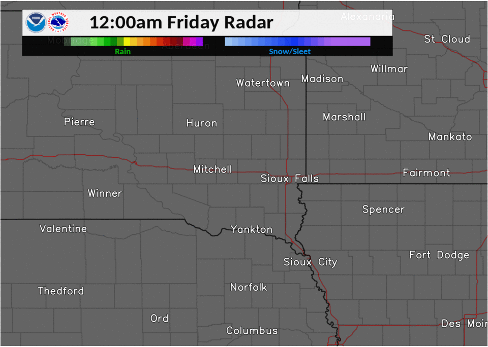 Radar Loop of Snow and Blizzard Development |
Snow/Ice
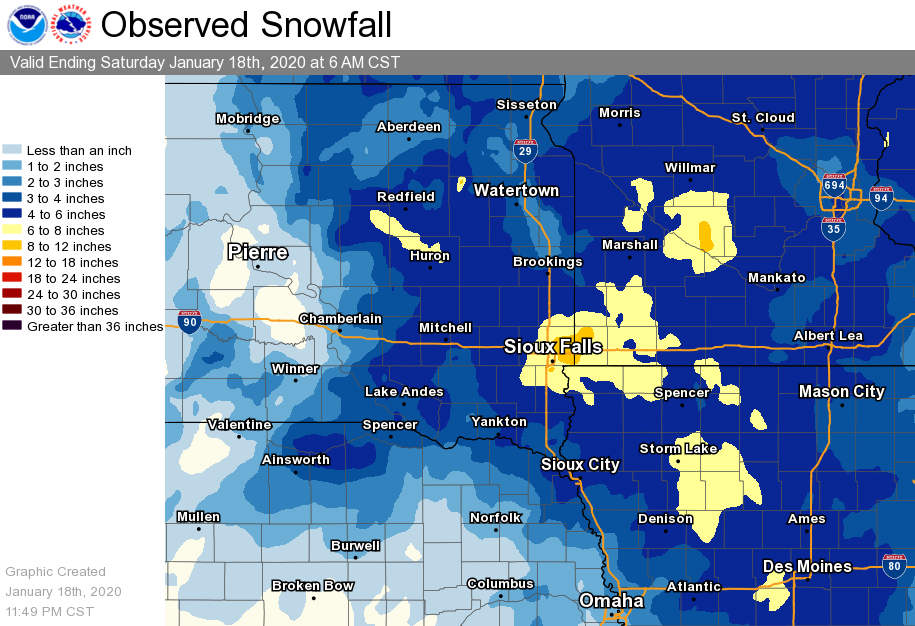
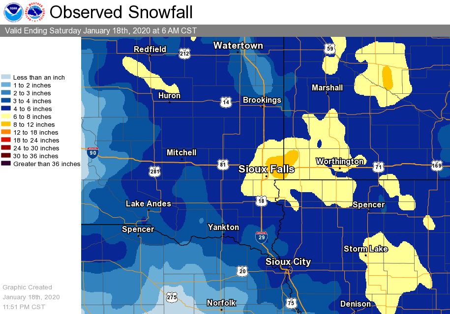
Snow amount across the region ranged from a dusting to as many as 8 inches. However most areas received anywhere from 4 to 8" by the time snow ended Saturday morning. This storm produced a significant amount of snow in a short period of time, with observed snowfall rates over 1" per hour Friday morning.
 |
 |
||||||||||||||||||||||||||||||||||||||||||||||||||||||||||||||||||||||||||||||||||||||||||||||||||||||||||||||||||||||||||
| Regional Snow Amounts from 1/17-1/18 (inches) | Local Snow Amounts from 1/17-1/18 (inches) | ||||||||||||||||||||||||||||||||||||||||||||||||||||||||||||||||||||||||||||||||||||||||||||||||||||||||||||||||||||||||||
 |
|||||||||||||||||||||||||||||||||||||||||||||||||||||||||||||||||||||||||||||||||||||||||||||||||||||||||||||||||||||||||||
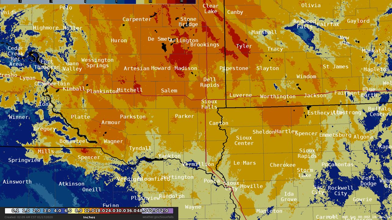
| Local Snow Depth as of January 18, 2020 (Develop by NOHRSC | |||||||||||||||||||||||||||||||||||||||||||||||||||||||||||||||||||||||||||||||||||||||||||||||||||||||||||||||||||||||||||
|
|||||||||||||||||||||||||||||||||||||||||||||||||||||||||||||||||||||||||||||||||||||||||||||||||||||||||||||||||||||||||||
Wind
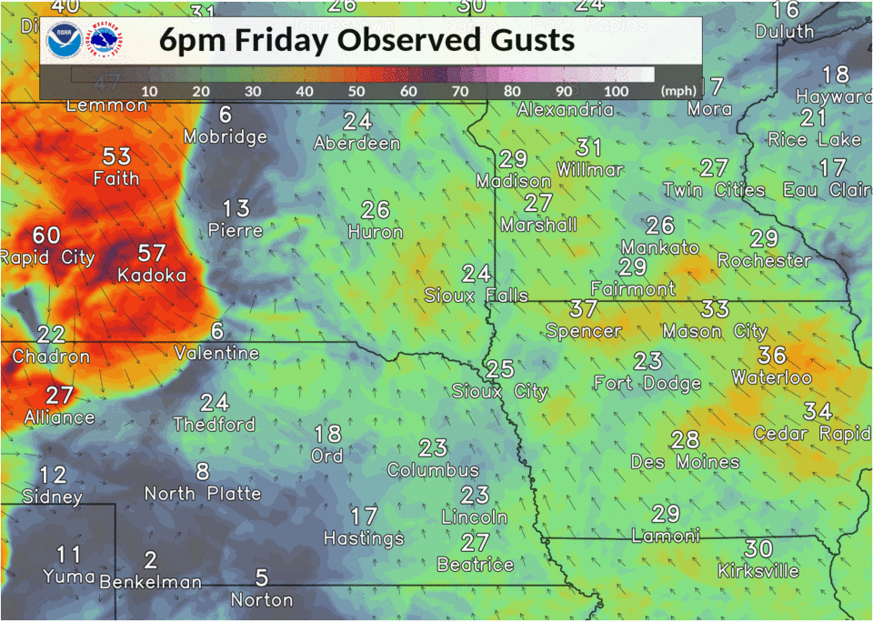
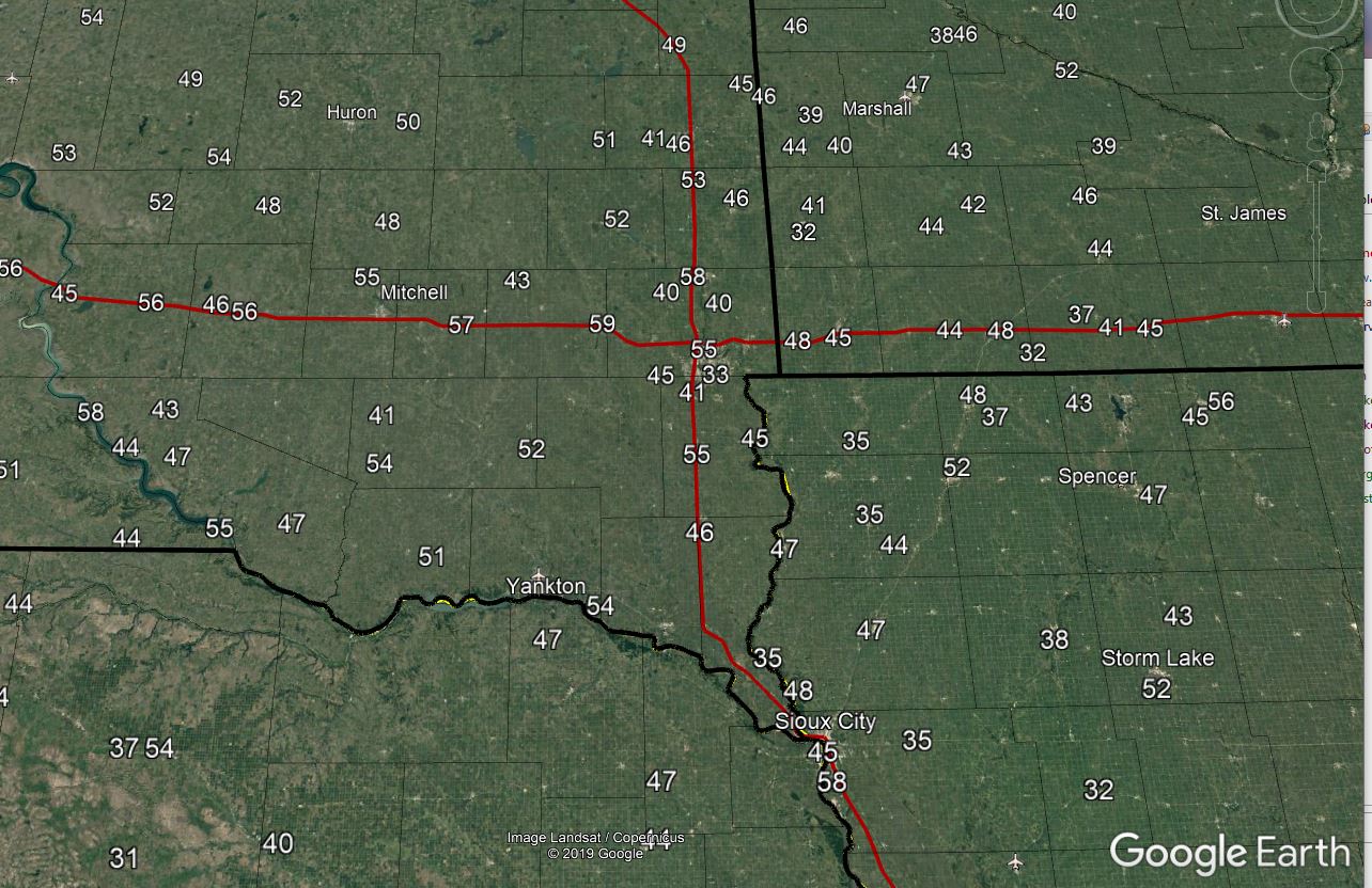
Here is a closer look at the peak wind gusts observed with this winter storm. Strong winds came in two parts, as snow was falling Friday, peak winds between 35 and 45 mph were common. The strongest winds arrive late Friday night, moving eastward across the region. Winds peaked as high as 59 mph in the Sioux Falls forecast area.
 |
 |
||||||||||||||||||||||||||||||||||||||||||||||||||||||||||||||||||||||||||||||||||||||||||||||||||||||||||||||||||||||||||||||||||||||||||||||||||||||||||||||||||||||||||||||||||||||||||||||||||||||||||||||||||||||||||||||||||||||||||||||||||||||||||||||||||||||||||||||||||||||||||||||||||||||||||||||||||||||||||||||||||||||||||||||||
| Loop of Blizzard Winds from Friday Night into Saturday | Data Plot of Peak Wind Gusts Friday Night into Saturday (MPH) | ||||||||||||||||||||||||||||||||||||||||||||||||||||||||||||||||||||||||||||||||||||||||||||||||||||||||||||||||||||||||||||||||||||||||||||||||||||||||||||||||||||||||||||||||||||||||||||||||||||||||||||||||||||||||||||||||||||||||||||||||||||||||||||||||||||||||||||||||||||||||||||||||||||||||||||||||||||||||||||||||||||||||||||||||
|
|||||||||||||||||||||||||||||||||||||||||||||||||||||||||||||||||||||||||||||||||||||||||||||||||||||||||||||||||||||||||||||||||||||||||||||||||||||||||||||||||||||||||||||||||||||||||||||||||||||||||||||||||||||||||||||||||||||||||||||||||||||||||||||||||||||||||||||||||||||||||||||||||||||||||||||||||||||||||||||||||||||||||||||||||
Photos & Video
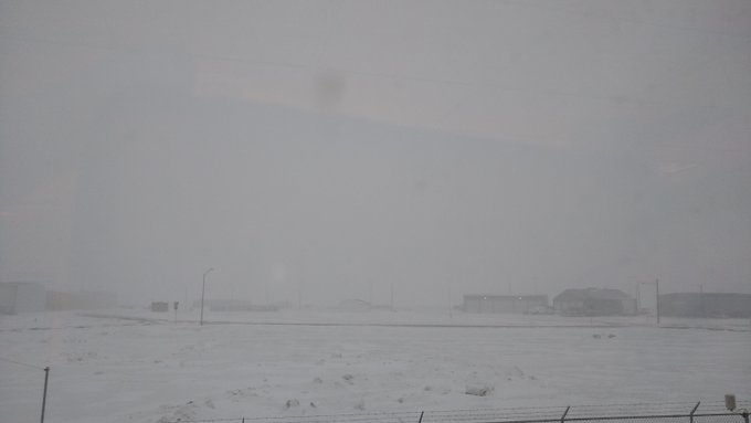
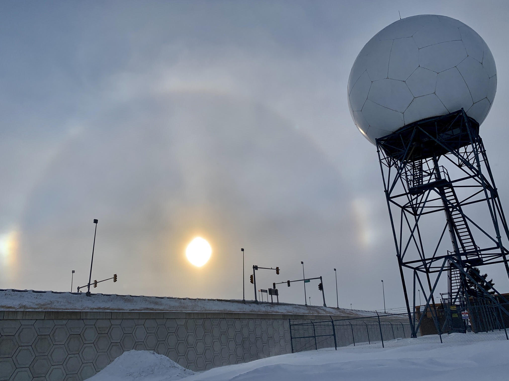
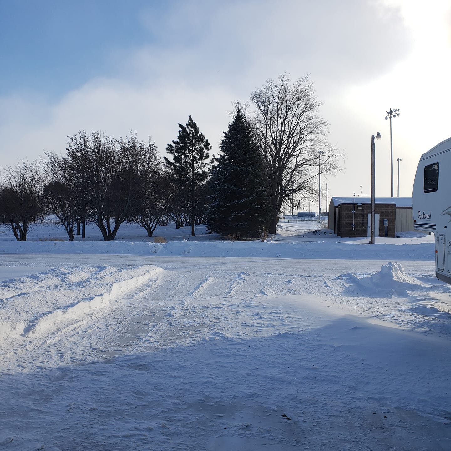
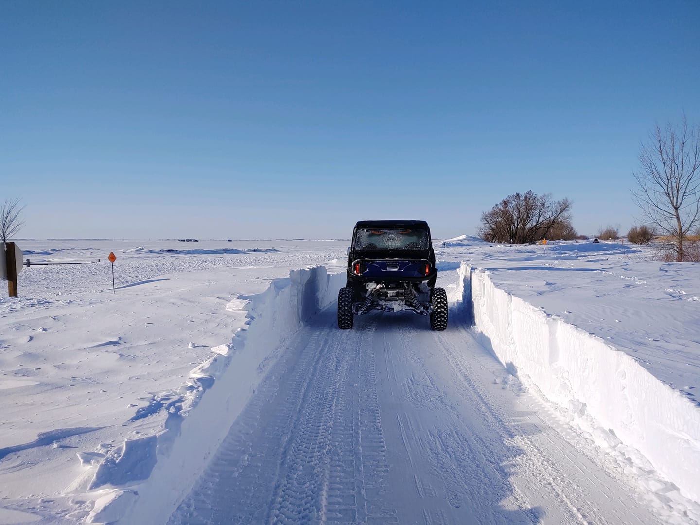
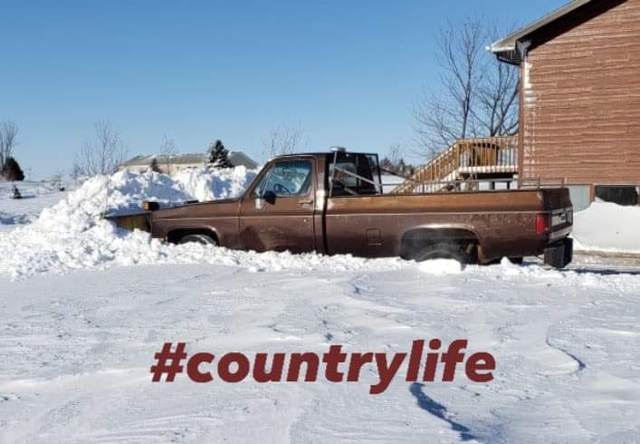
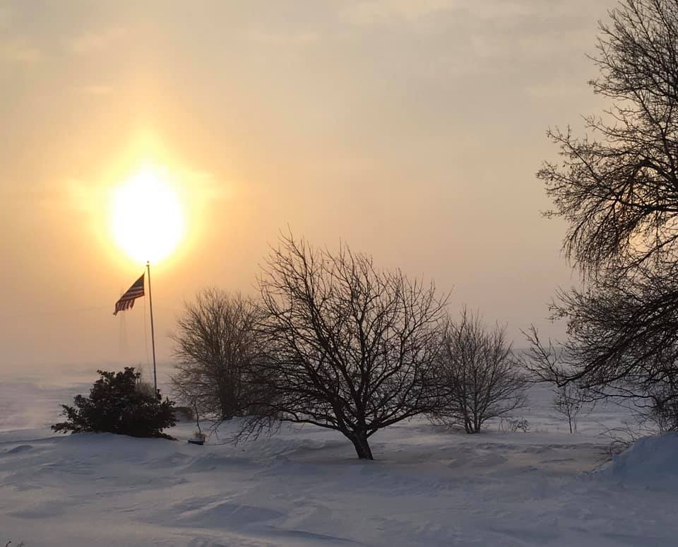
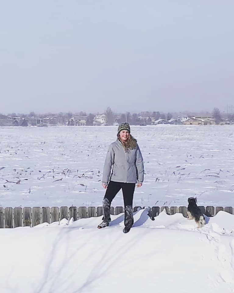
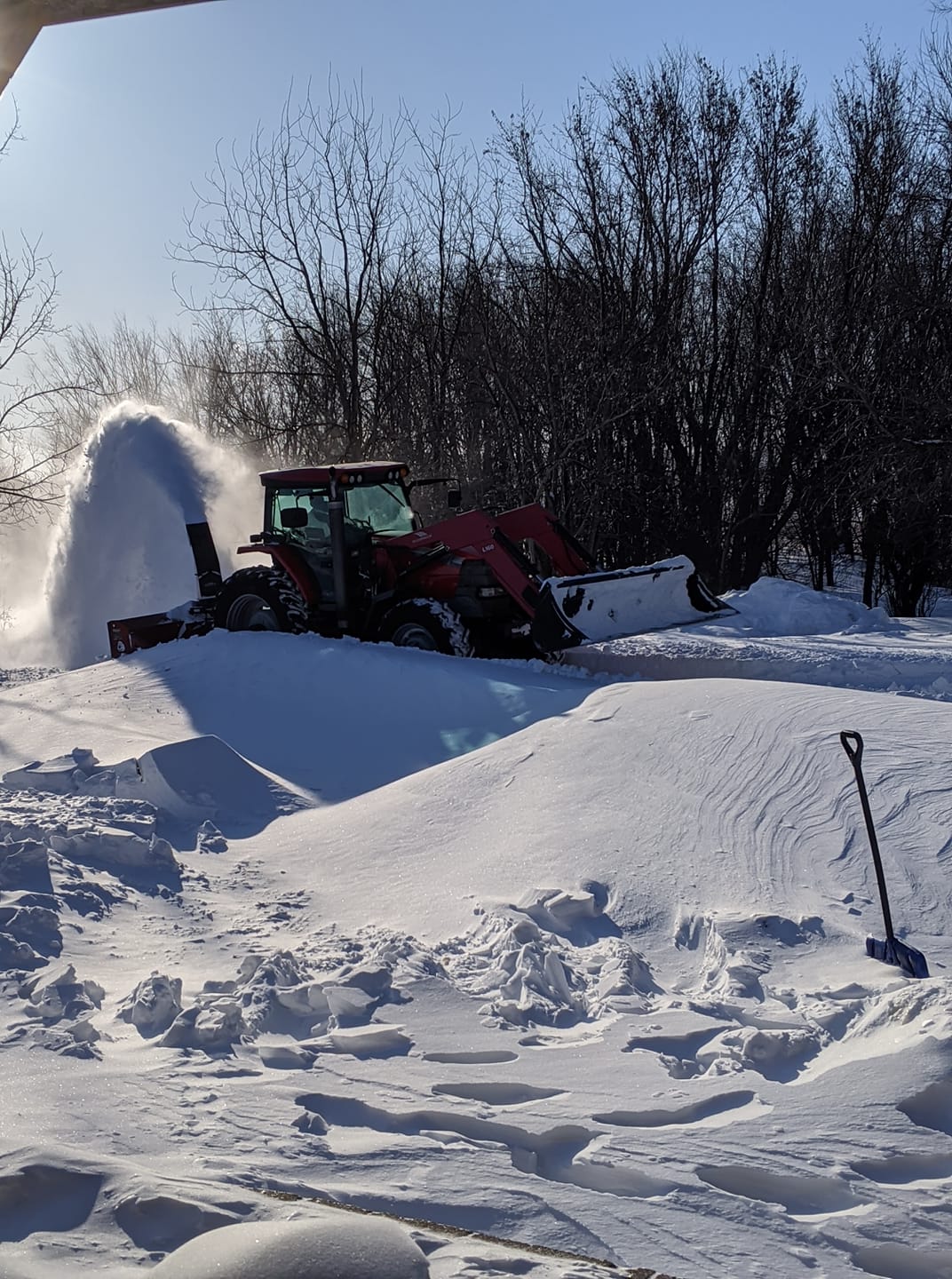
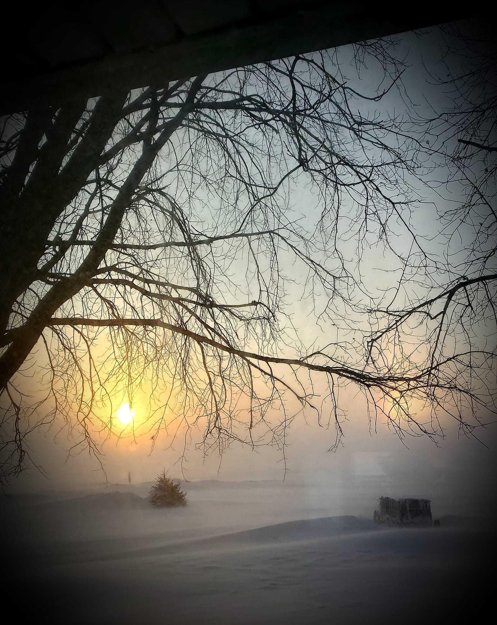
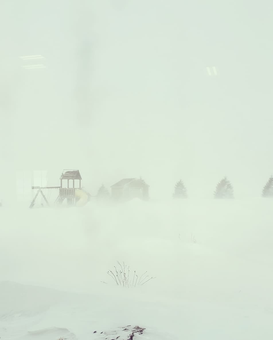
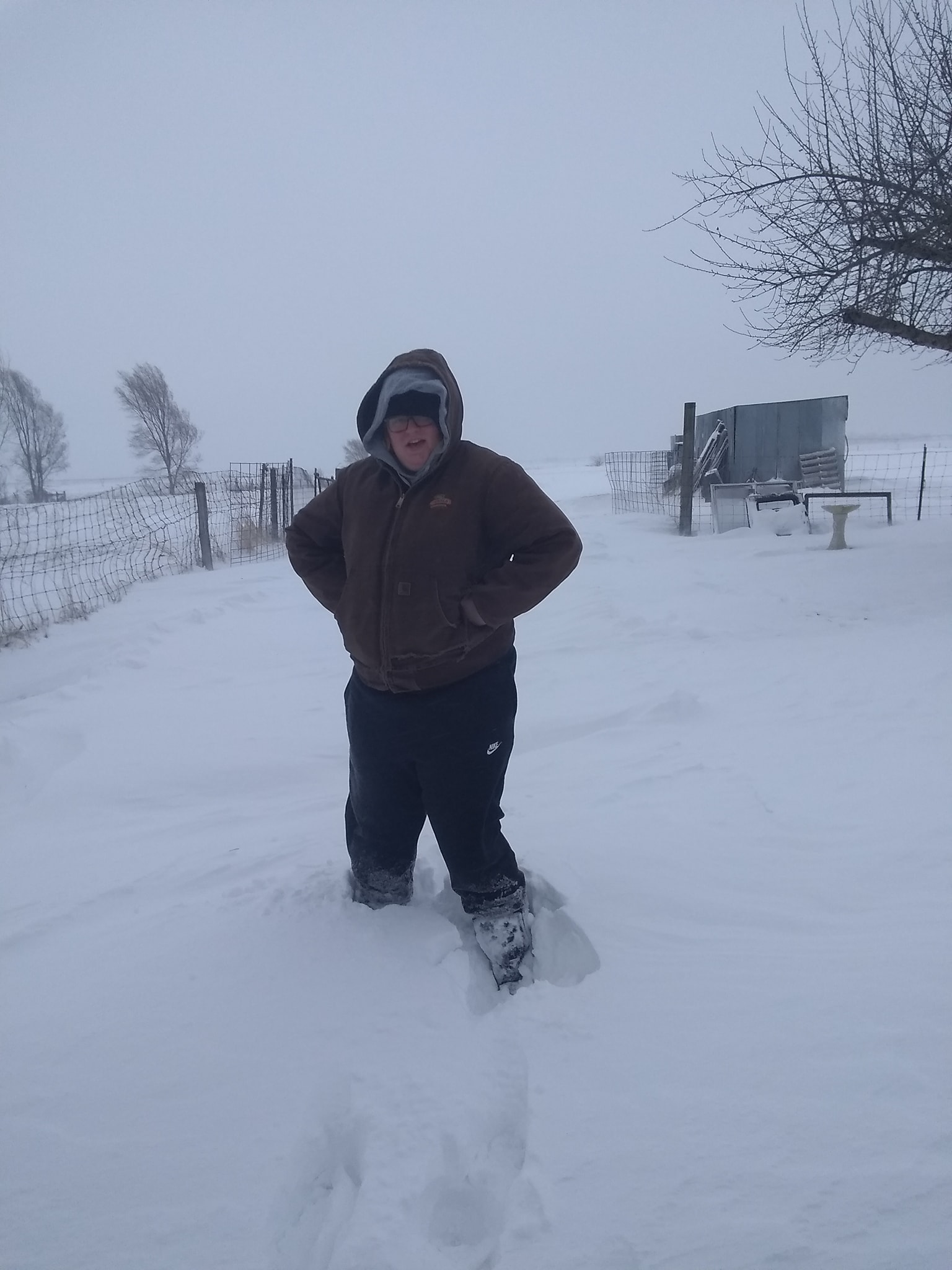
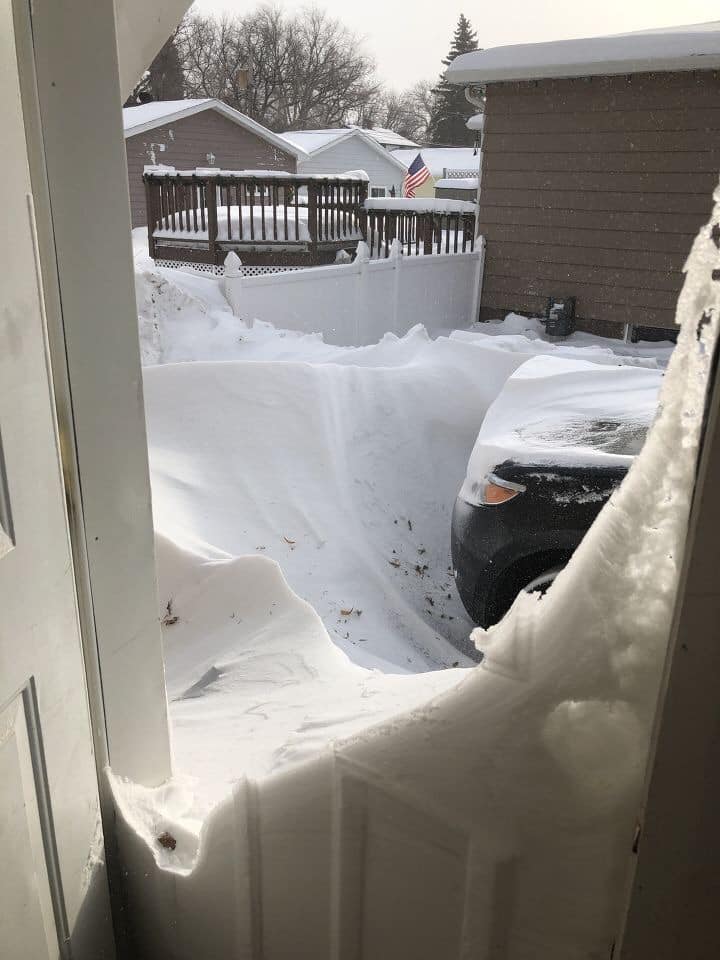
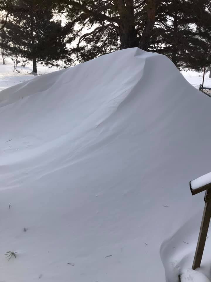
Here are various images captured from the blizzard
 |
 |
 |
 |
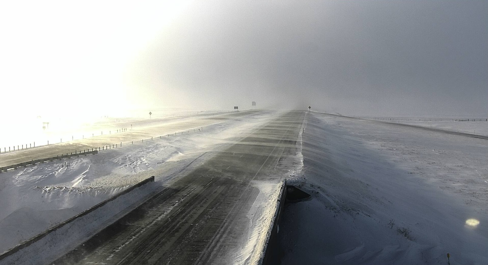
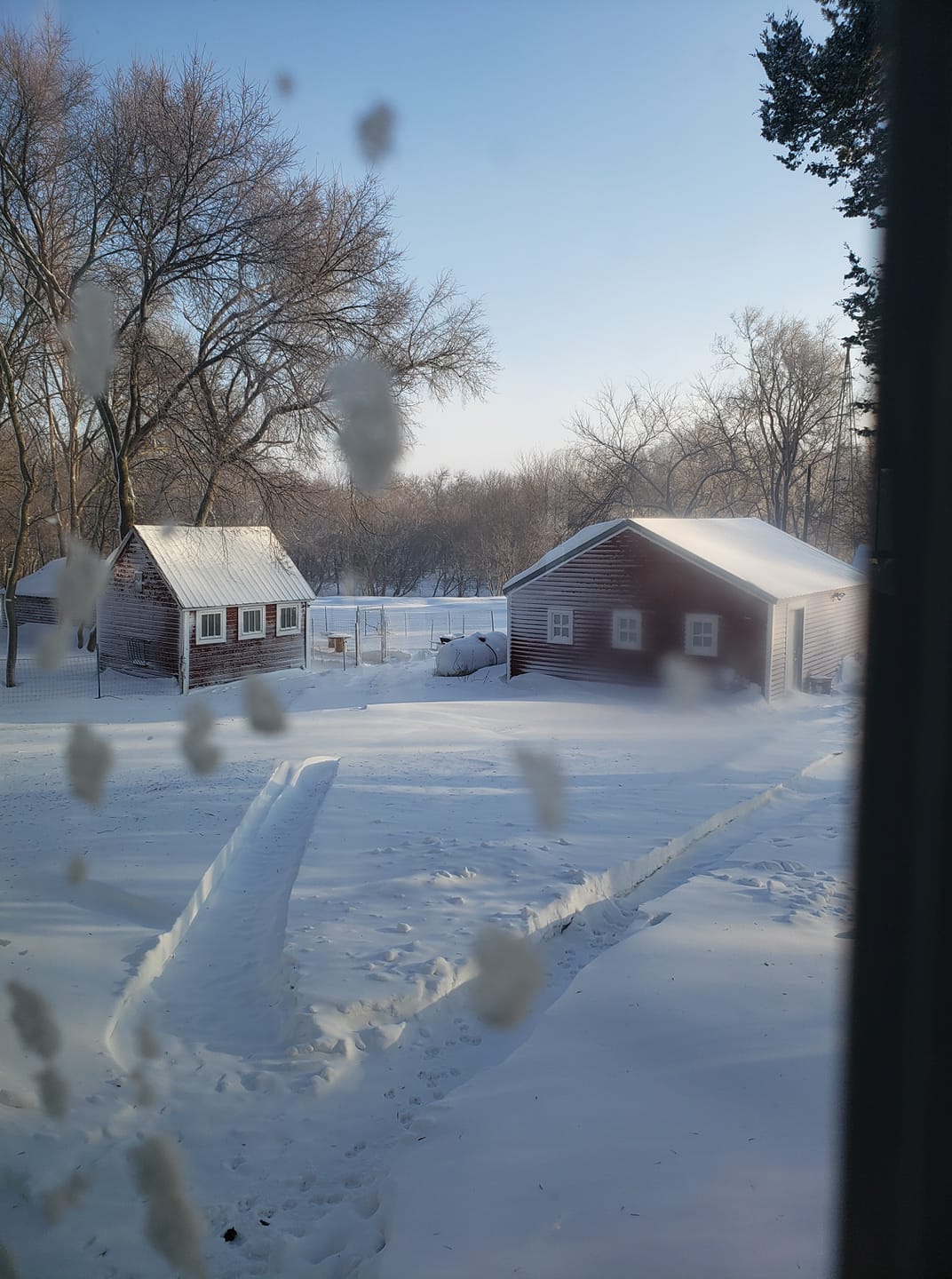
| The View from NWS Sioux Falls |
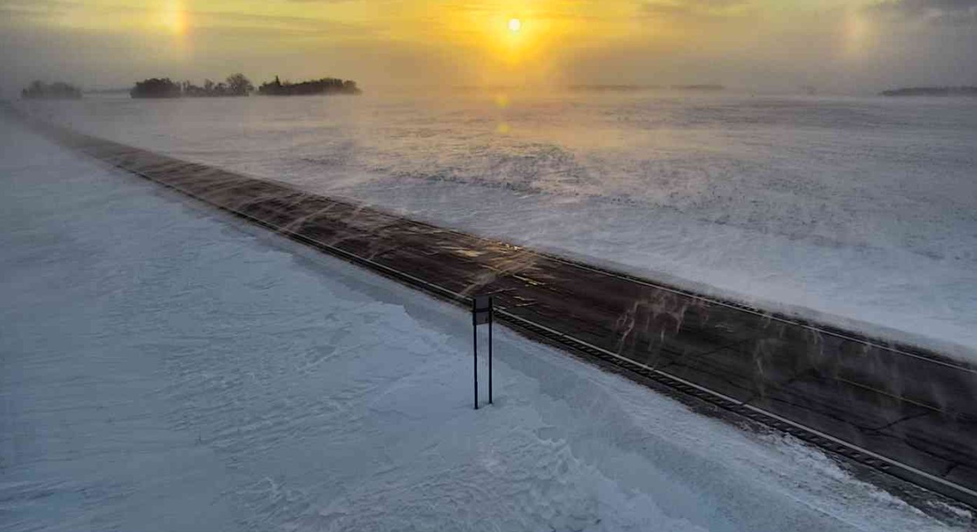
Sun Dog and Halo Over Sioux Falls |
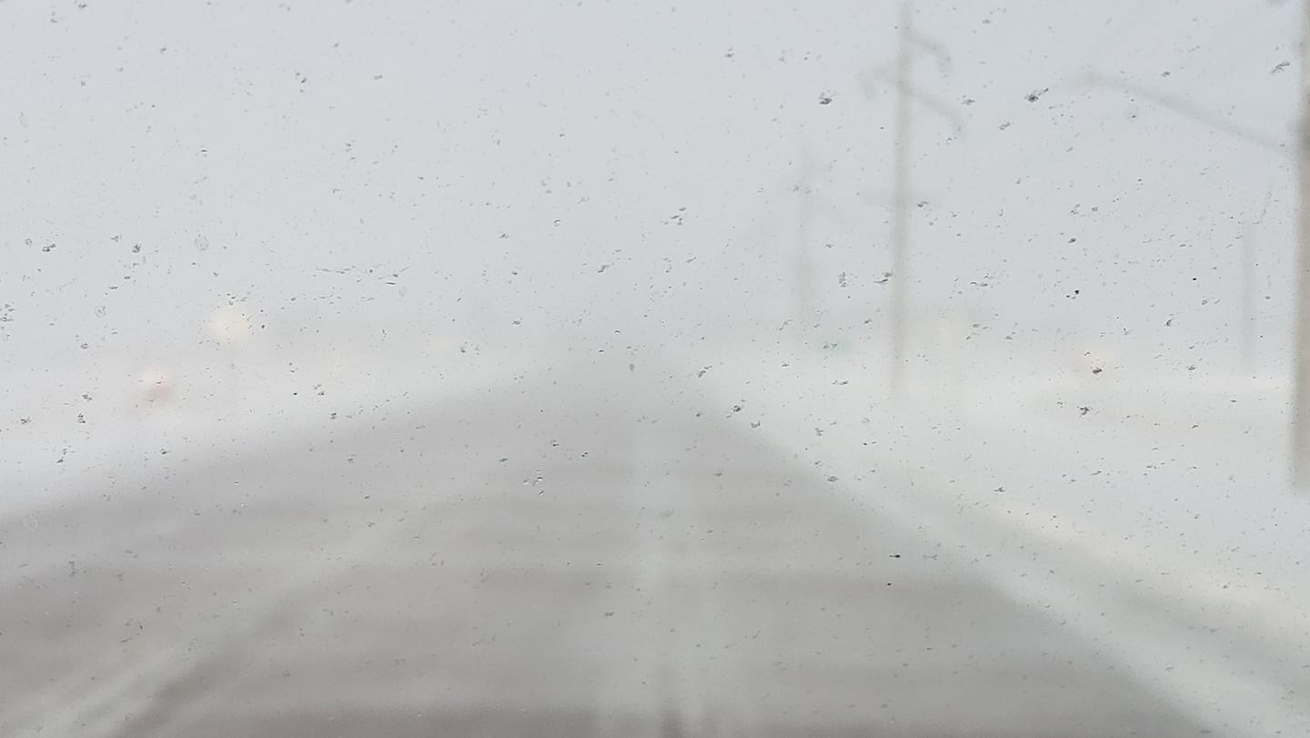
Visibility on I-29 Near Ward, SD (SDDOT) |
Sunrise View in SW Minnesota (MNDOT) |
 |
 |
 |
 |
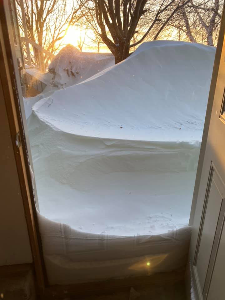
| Cliff Ave North of Harrisburg SD (Jamie Krier) |
Rural Colman SD (Julie Kuehl Baumberger) |
Humboldt SD (Rebecca Herman) |
Lake Thompson (Shelly Renken) |
 |
 |
 |
 |
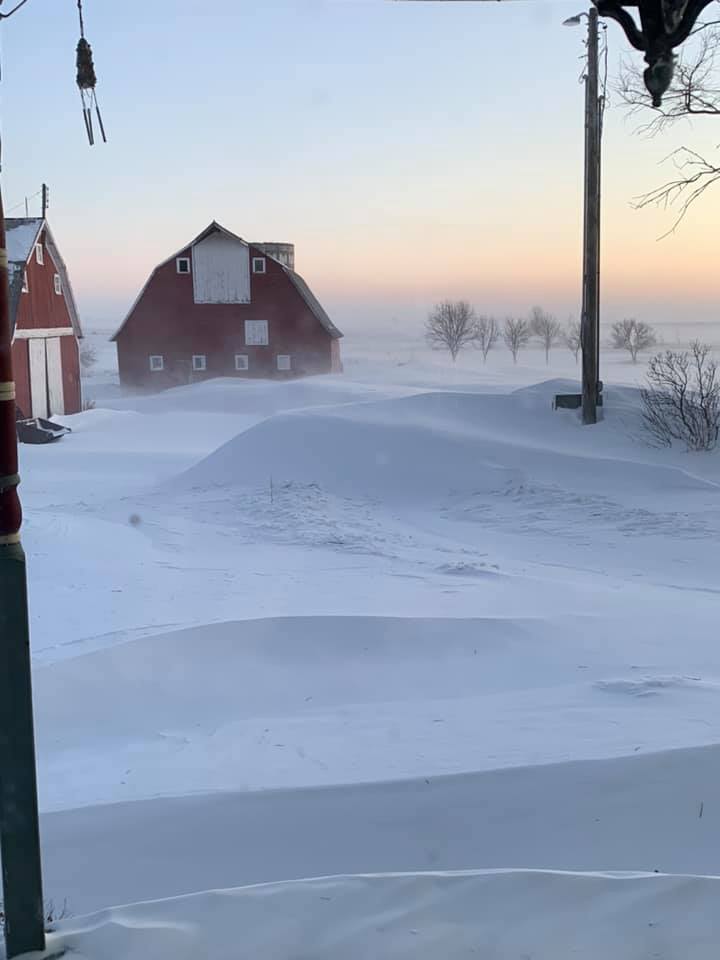
| Rural Baltic-Garretson SD (Karen Harvey Kreitlow) |
South of Lakefield MN (Cheryl Voss) |
Southeast Edge of Sioux Falls SD (Gwen Wheeler) |
Volga, SD (Kris Bishop) |
 |
 |
 |
 |
 |
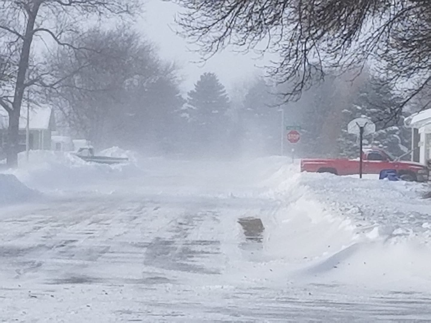
| South of Winfred SD (Chele Beck) |
Wall Lake SD (Lisa Marie Stelter) |
Turner County SD (Wayne Wagner) |
Southwest Sioux Falls SD (Tess Kirby) |
Rural Balaton MN (Nancy Larson) |
 |
 |
 |
 |
 |
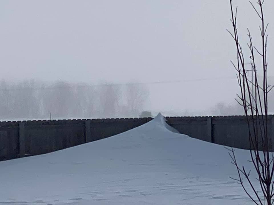
| Ocheyedan IA (Renae Wolter) |
Madison SD (Dana Van Zanten-Neu) |
Jefferson SD (Jon Martin) |
Location Unknown (Jodi Aesoph) |
Location Unknown (Tracy Jarman Nordstrom) |
Radar and Hazards
Here is a closer look at radar and warnings issued for this event
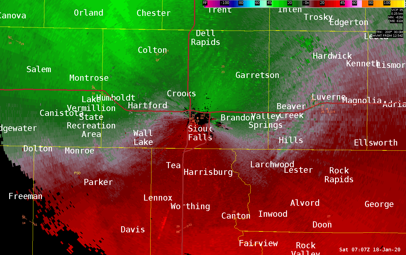 |
The Arrival Of Blizzard Conditions on Radar Velocity Imagery | ||
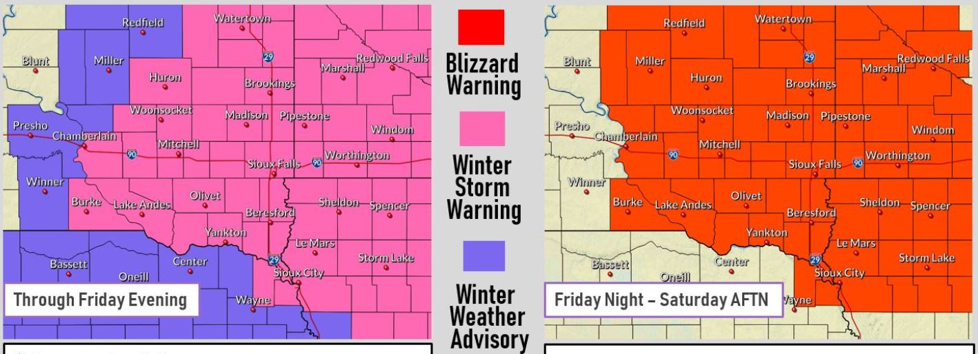 |
A View of Warnings Issued During the Winter Storm | ||
| A review of Road Conditions During this Winter Storm | |||
 |
Media use of NWS Web News Stories is encouraged! Please acknowledge the NWS as the source of any news information accessed from this site. |
|


 Weather Story
 Weather Map
 Local Radar