Sioux Falls, SD
Weather Forecast Office

Strong southwest to west winds will continue to increase this afternoon across the area, with frequent gusts of 50 to 60 mph through mid evening. Later in the evening, speeds should decrease into the 20 to 30 mph range. However, strong west to northwest winds are forecast to increase again on Tuesday, with afternoon gusts up to 50 mph possible again. Winds of this magnitude can lead to property damage, cause large normally stationary objects to move, and could tip high profile vehicles.

Critical fire weather conditions will develop across far southern parts of the area this afternoon, due to strong winds, low relative humidity, and warm temperatures. Please do not attempt burning any Spring debris today, and be very careful with any sources of fire ignition, such as farm equipment, automobile exhaust systems, or cigarette butts. Any fires that start are likely to spread rapidly.

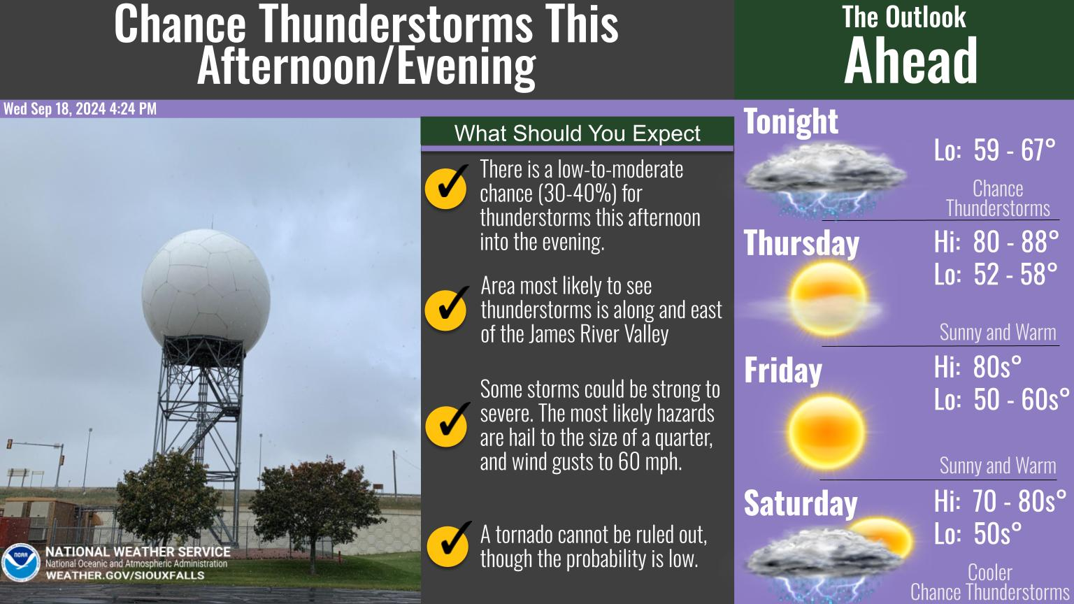
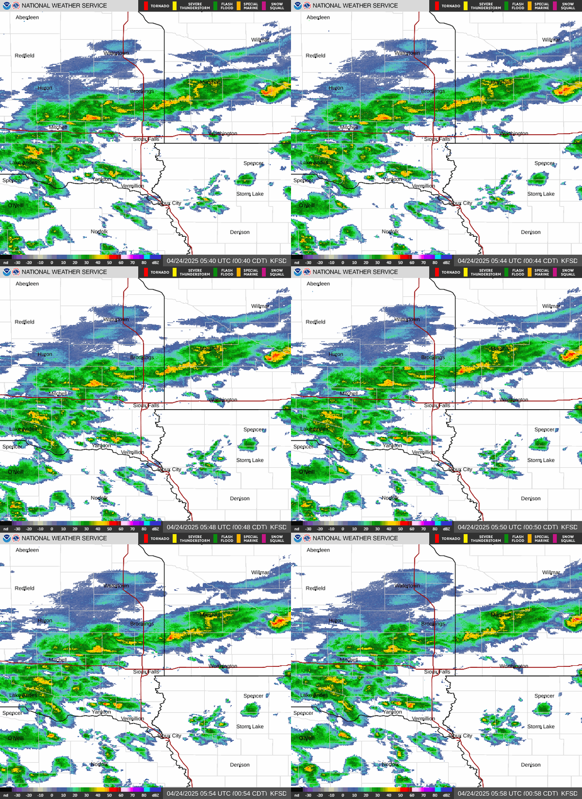
As a cold front and strong winds interact with unseasonably warm and humid air east of Interstate 29 this afternoon and evening, there will be a slight risk of severe thunderstorm development. Although the risk is rather low, and mainly focused between 2 pm and 6 pm, any storm that does form will have the potential to quickly become strong to severe, with hail up to the size of half dollars, and damaging wind gusts up to 60 mph. The possibility of a tornado is very low, but still possible.
Popular Pages
Past Weather Events
Regional Weather Roundup
Daily Temp/Precip
Hazardous Weather
Local Climate Archives
Climate Graphs and Data
Seasonal Resources
EvapoTranspiration
Fire Weather
Grassland Fire Danger
Flooding (River)
Drought
Summer Weather
Winter Weather
Winter Preparedness
Winter Temp Climatology

US Dept of Commerce
National Oceanic and Atmospheric Administration
National Weather Service
Sioux Falls, SD
26 Weather Lane
Sioux Falls, SD 57104-0198
605-330-4247
Comments? Questions? Please Contact Us.


 Weather Story
 Weather Map
 Local Radar
 Follow us on X
 Follow us on Facebook
 Follow us on YouTube
 FSD RSS Feed