Sioux Falls, SD
Weather Forecast Office
 |
 |
 |
 |
 |
 |
|
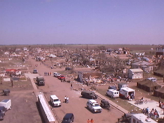
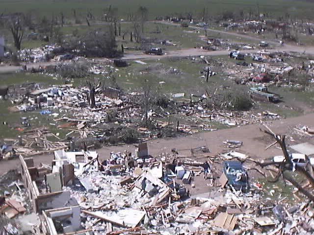
Photographs above courtesy of Steve Marks Assistant Coordinator Greensboro-Guilford County Emergency Management (Click Image to Enlarge) |
||
 |
 |
 |
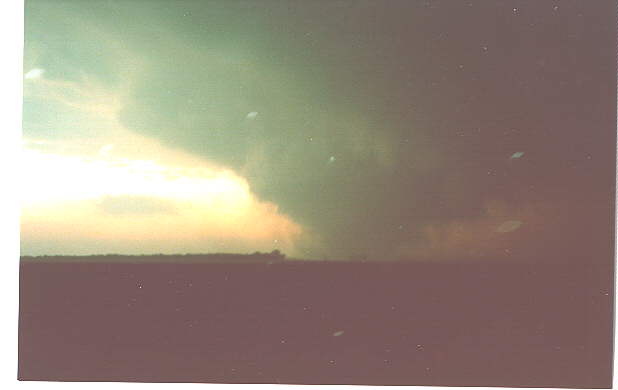 |
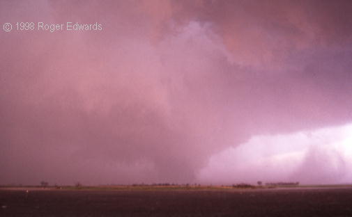
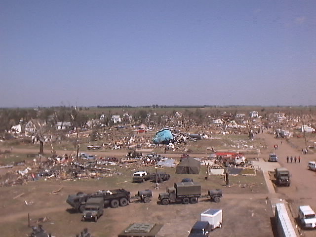
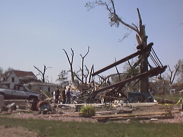
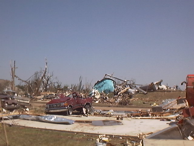
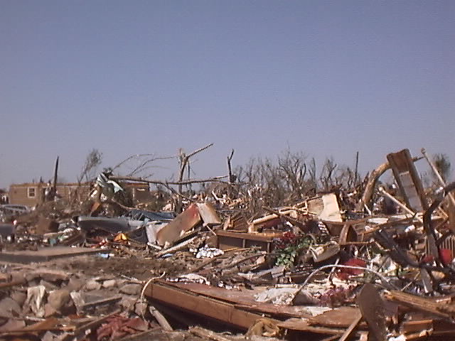
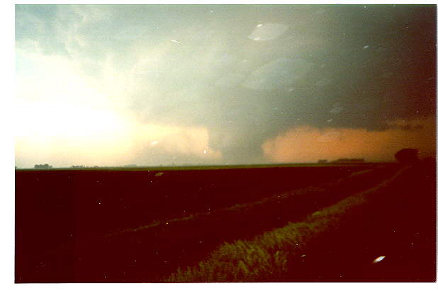
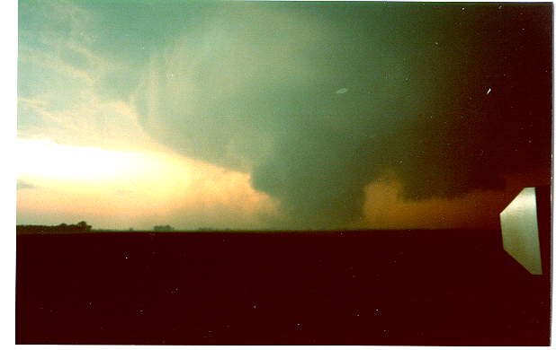
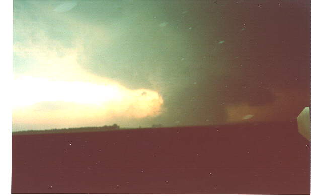
| Photographs above courtesy of Chris Lenz, a storm chaser from Valley, Nebraska. He was located 4.5 miles east of Spencer looking west (Click Image to Enlarge) | |
 |
 |
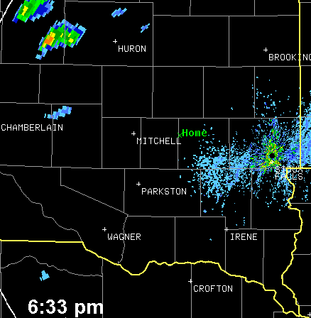
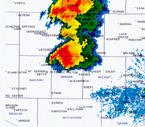
| KFSD 0.5 base reflectivity/storm relative velocity 0100 UTC (800 pm). (Click Image to Enlarge) |
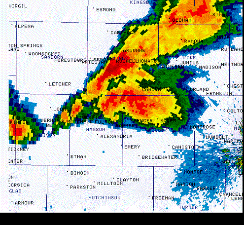
KFSD 0.5 base reflectivity/storm relative velocity with TVS signature 0133 UTC (833 pm). (Click Image to Enlarge) |
Popular Pages
Past Weather Events
Regional Weather Roundup
Daily Temp/Precip
Hazardous Weather
Local Climate Archives
Climate Graphs and Data
Seasonal
EvapoTranspiration
Fire Weather
Grassland Fire Danger
Flooding (River)
Summer Weather
Travel Forecasts
Winter Weather
Winter Preparedness
Forecast Snowfall Graphic
Winter Temp Climatology
US Dept of Commerce
National Oceanic and Atmospheric Administration
National Weather Service
Sioux Falls, SD
26 Weather Lane
Sioux Falls, SD 57104-0198
605-330-4247
Comments? Questions? Please Contact Us.


 Weather Story
 Weather Map
 Local Radar