Dangerous and extreme heat will remain across portions of the central U.S. this week, persisting across the mid to lower Mississippi Valley, Gulf Coast, southern Plains and portions of Texas. A heat wave over the Southwest U.S. will peak this weekend. Heavy to excessive rainfall may produce flash flooding from the Delmarva Peninsula north into the Hudson Valley today and tonight. Read More >
|
|
|
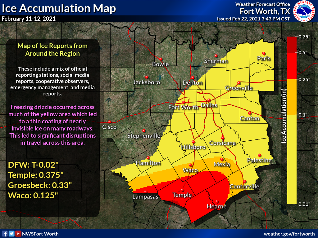
Facts about the February 11-12th Freezing Drizzle/Rain Event across North and Central TX
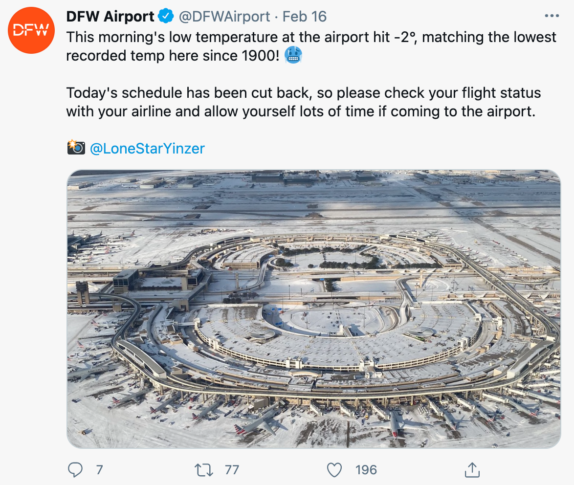
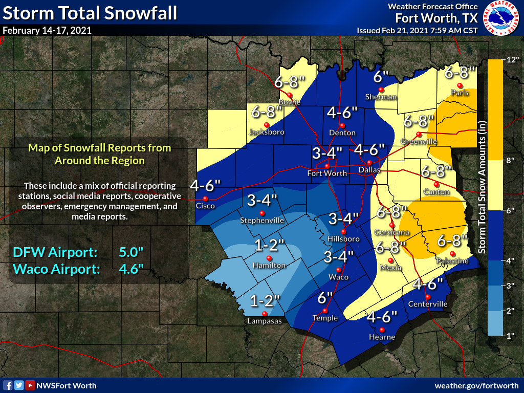
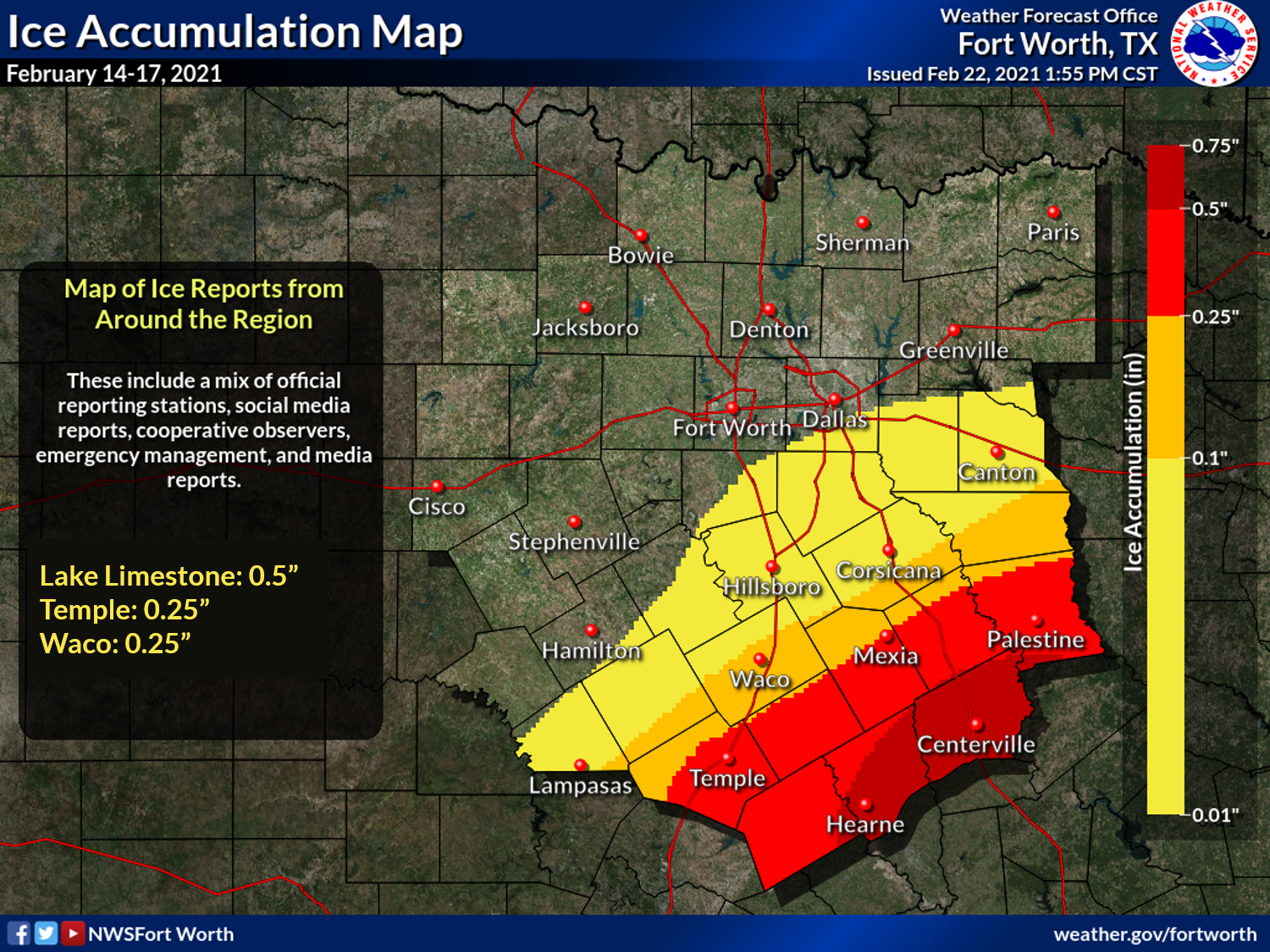
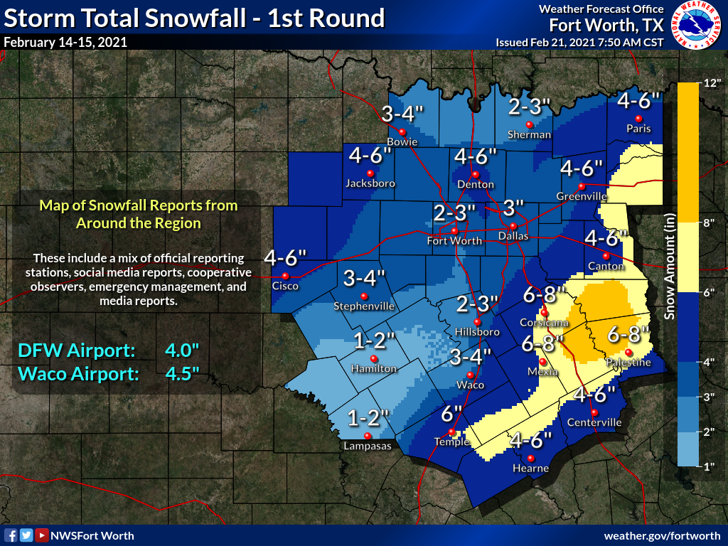
Facts about the February 14-17th Winter Storm across North and Central TX
|
What caused the event? The record cold spell and extended period of wintry weather was caused by the upper level polar vortex dropping south from the north pole and then lingering over south central Canada for more than a week. This allowed cold arctic air to gradually spill southward into Texas. At the same time several upper level disturbances riding the jet stream moved through the area providing lift and moisture for winter precipitation. These disturbances show up as waves or dips in the lines that move in from the west. Ahead of each wave upper level lift increases and moisture is drawn up from the south. Since it was already so cold, this precipitation fell as snow, sleet, and freezing rain.
 |
|
Upper Air Pattern (Polar Vortex) |
 |
| WPC Surface Analysis February 14-17 (every 6 hours) |
Records for Dallas/Fort Worth and Waco:
|
|
 |
| radar loop of February 14-15 with an estimate of precipitation type |
 |
| radar loop of February 16-17 with an estimate of precipitation type |
|
|
|
Public Information Statements
Click here to view the Snowfall totals for the Event 1 (February 14-15, 2021)
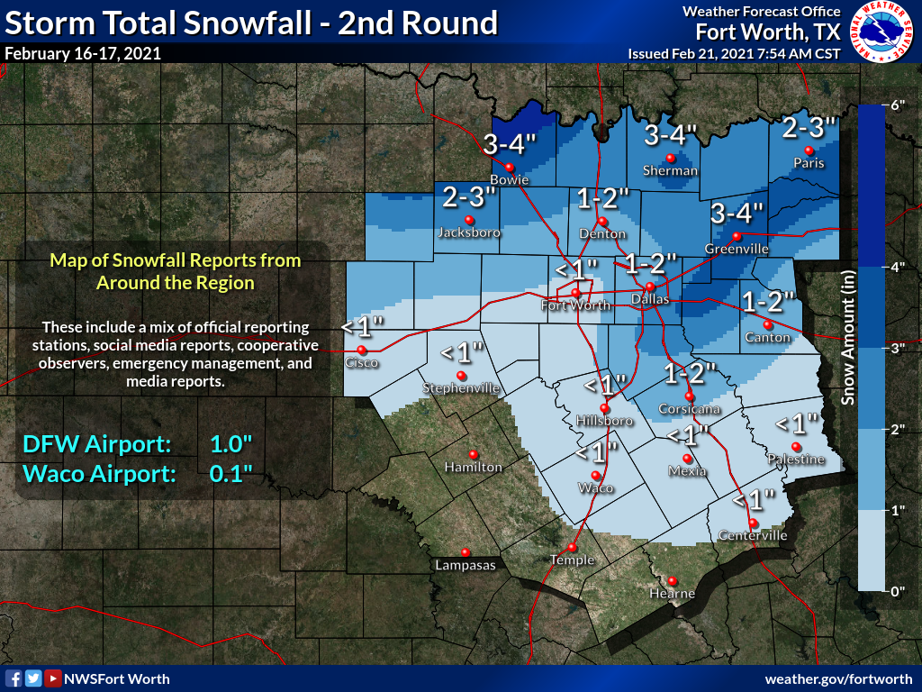
Click here to view the Snowfall totals for Event 2 (February 16-17, 2021)
|
|
|
|
|
|
|
|
|
|
|
|
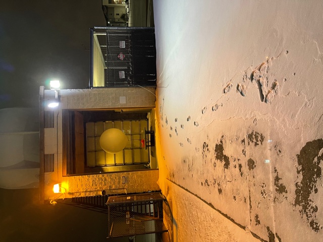
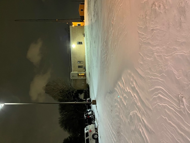
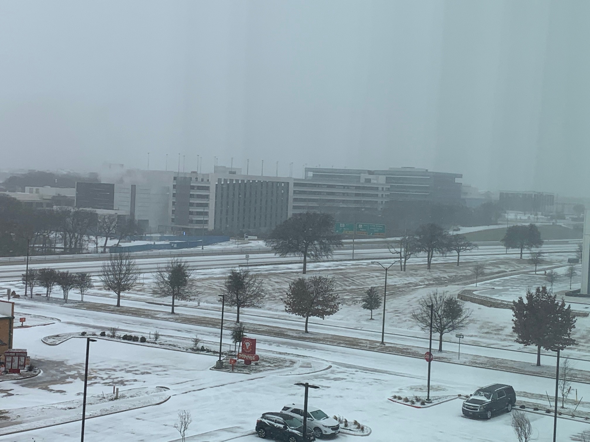
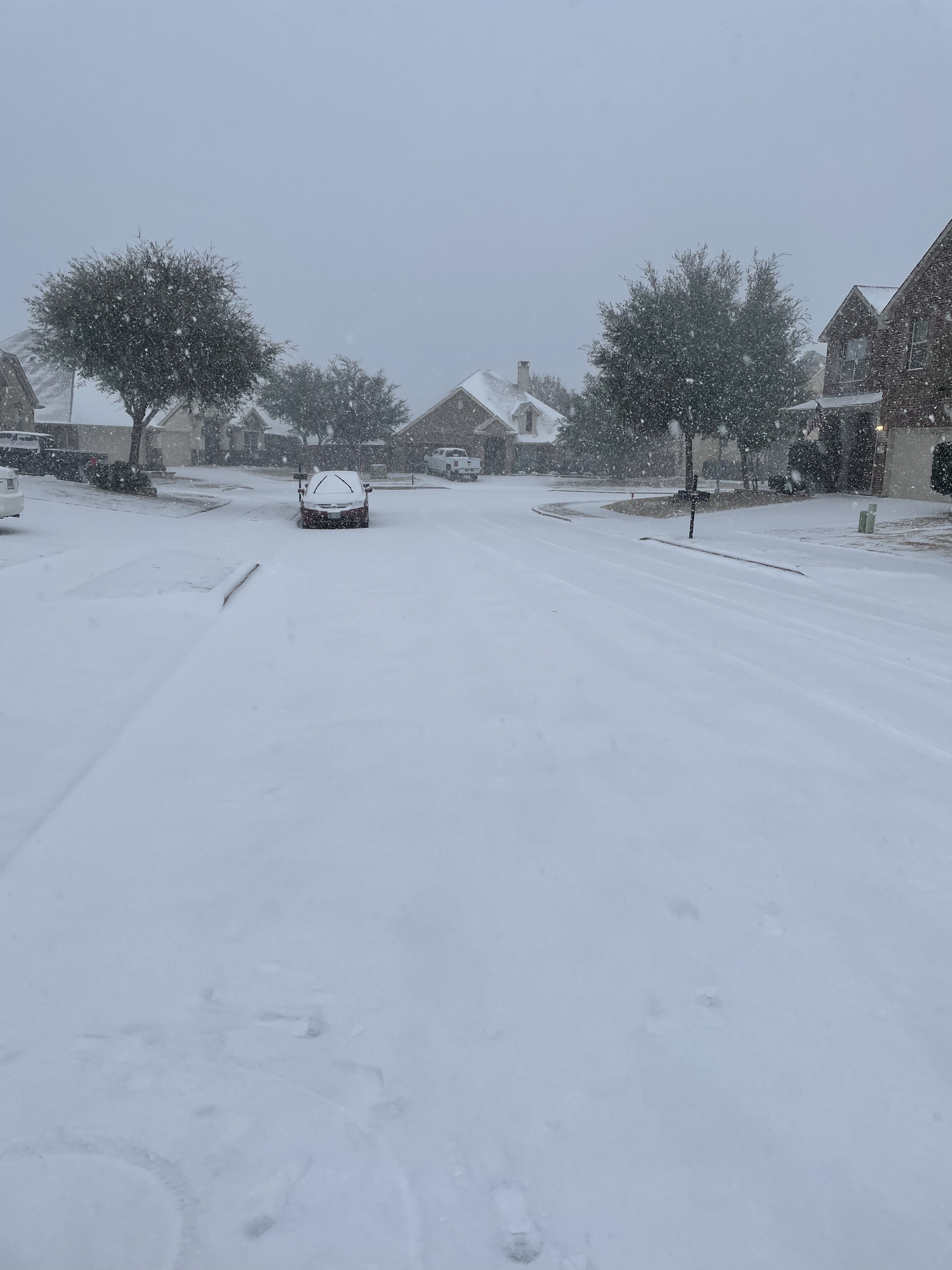
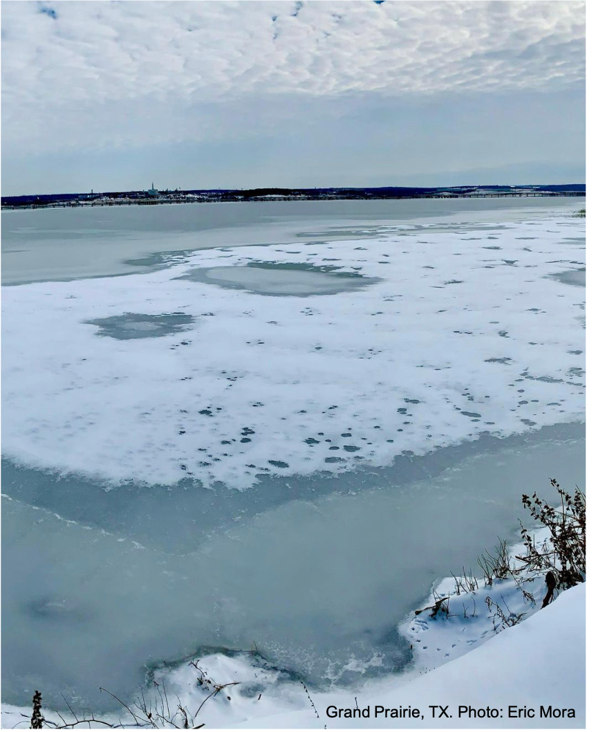
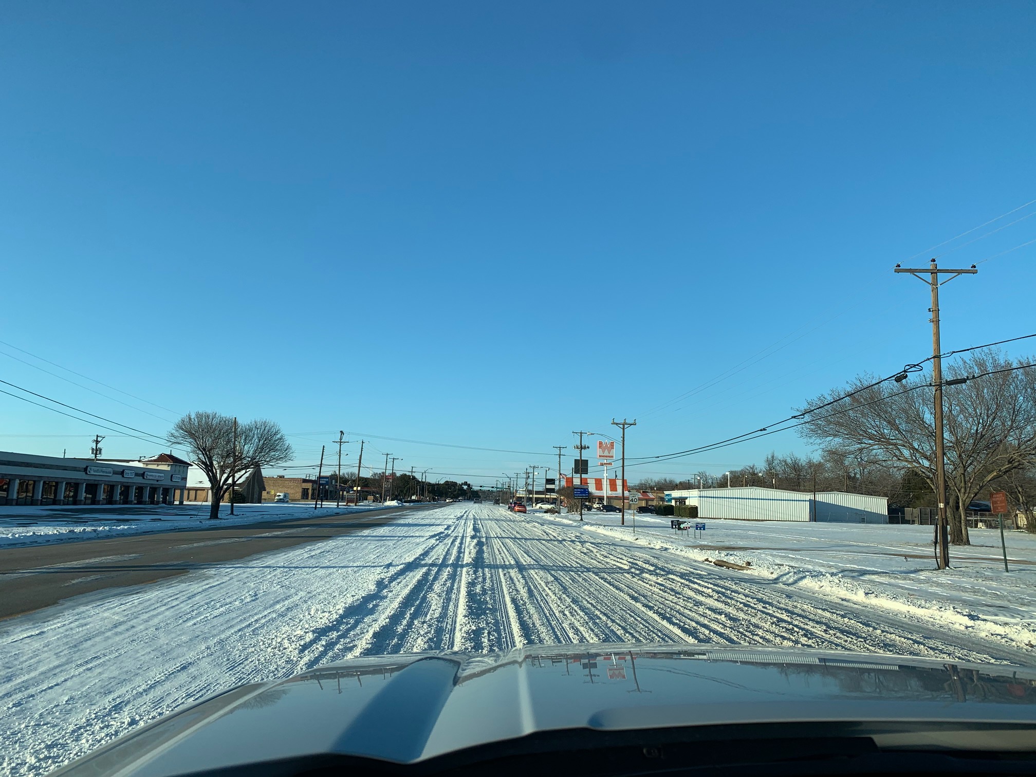
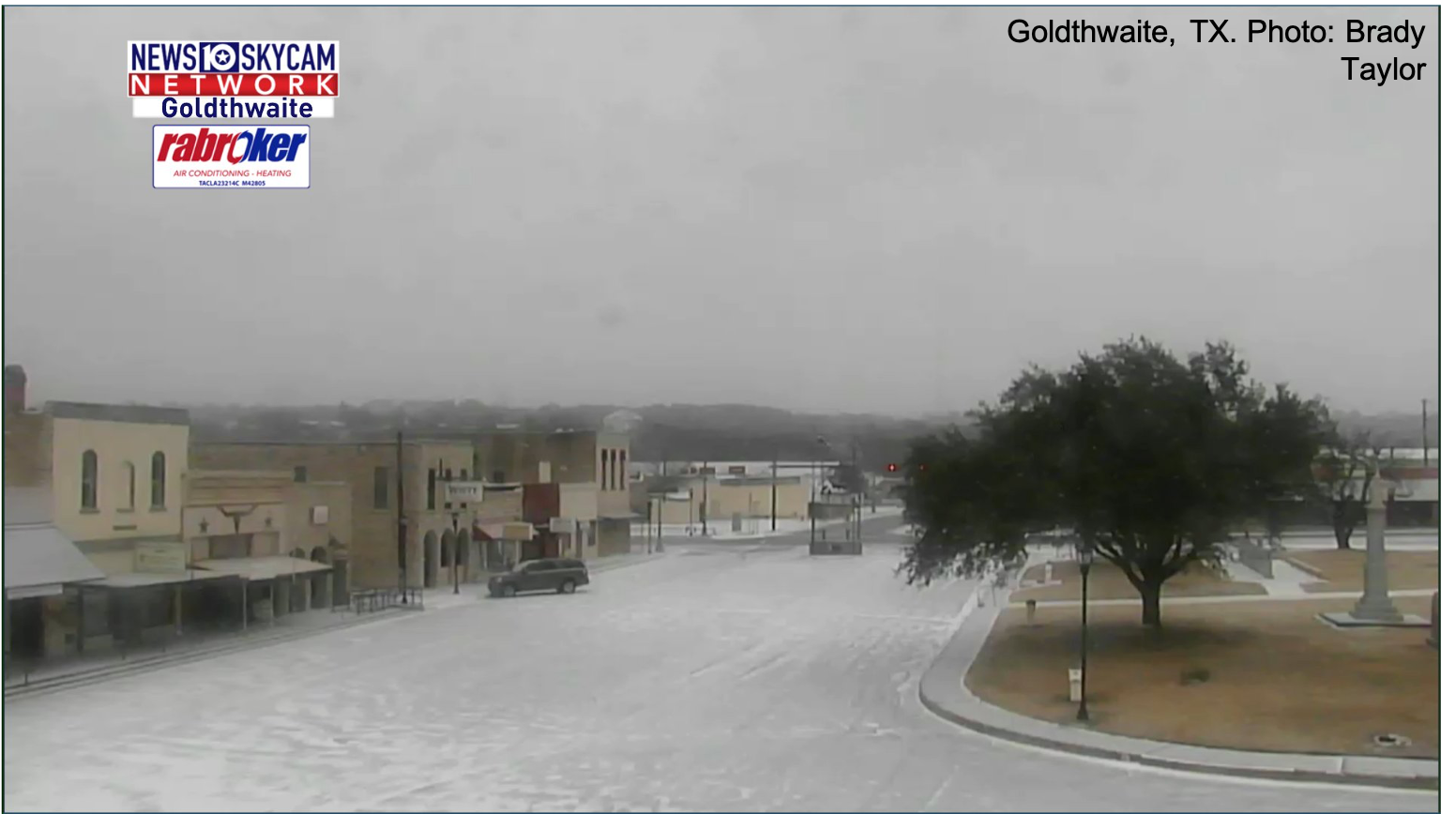
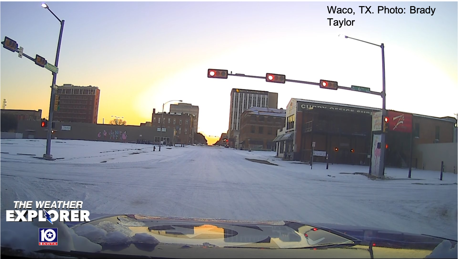
*Photos courtesy of NWS Employees, Partners, public, etc.


.jpg)