HOME
FORECAST
Local
Graphical
Aviation
Marine
Rivers and Lakes
Hurricanes
Severe Weather
Fire Weather
Sun/Moon
Long Range Forecasts
Climate Prediction
Space Weather
PAST WEATHER
Past Weather
Heating/Cooling Days
Monthly Temperatures
Records
Astronomical Data
SAFETY
Tsunamis
Floods
Beach Hazards
Wildfire
Cold
Tornadoes
Air Quality
Fog
Heat
Hurricanes
Lightning
Safe Boating
Rip Currents
Thunderstorms
Space Weather
Sun (Ultraviolet Radiation)
Safety Campaigns
Wind
Drought
Winter Weather
INFORMATION
Wireless Emergency Alerts
Brochures
Weather-Ready Nation
Cooperative Observers
Daily Briefing
Damage/Fatality/Injury Statistics
Forecast Models
GIS Data Portal
NOAA Weather Radio
Publications
SKYWARN Storm Spotters
StormReady
TsunamiReady
Service Change Notices
EDUCATION
Be A Force of Nature
NWS Education Home
NEWS
NWS News
Events
Social Media
Pubs/Brochures/Booklets
NWS Media Contacts
SEARCH
Search For
NWS
All NOAA
ABOUT
About NWS
Organization
Strategic Plan
Commitment to Diversity
For NWS Employees
International
National Centers
Careers
Contact Us
Glossary
Local forecast by
"City, St" or ZIP code
Sorry, the location you searched for was not found. Please try another search.
Multiple locations were found. Please select one of the following:
Location Help
News Headlines
2023 SKYWARN Spotter Training Schedule is Here!
Customize Your
Weather.gov
Enter Your City, ST or ZIP Code
Remember Me
LOADING...
Fort Worth/Dallas, TX
Weather Forecast Office
Your Weather
Weather.gov
>
Fort Worth/Dallas, TX
> Your Weather
Current Hazards
Outlooks
Briefing Page
Submit a Storm Report
National
Local
Current Conditions
Surface Observations
Satellite
Observed Precipitation
Observations (Text)
Satellite (Texas)
Rivers/Lakes
Hydrology
Precip Estimate
Rainfall Maps
Radar
Local Standard Radar (KFWS-low bandwidth)
Local Enhanced Radar (Fort Worth-KFWS)
Local Standard Radar (KGRK-low bandwidth)
Local Enhanced Radar (Central Texas-KGRK)
Regional Standard Radar (low bandwidth)
North Texas Radar Status
Forecasts
Activity Planner
Fire
Forecaster's Discussion
Hourly View
Local
Soaring Forecast
Aviation
Graphical
Hazard Planner
Tropical
Rivers and Lakes
Rivers/Lakes
Hydrology
Climate and Past Weather
Drought
Climate Prediction
National
Local
CoCoRaHS Precipitation Data
Event Summaries
Tornado Climate
More...
Local Programs
Get Prepared
StormReady
Weather Radio
SKYWARN
Preliminary Storm Data
Co-op Observers
Jetstream School
Volunteer Information
Science & Research
Local RSS Feeds
Office Tours/Guest Speaker
About Us
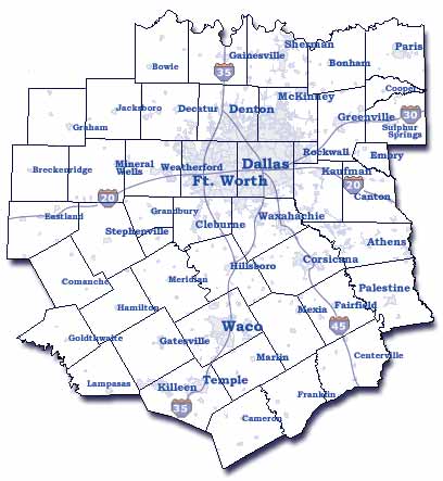
Click Map Or Select Drop Down Menu For County Averaged Forecast
Select County
Anderson
Bell
Bosque
Collin
Comanche
Cooke
Coryell
Dallas
Delta
Denton
Eastland
Ellis
Erath
Falls
Fannin
Freestone
Grayson
Hamilton
Henderson
Hill
Hood
Hopkins
Hunt
Jack
Johnson
Kaufman
Lamar
Lampasas
Leon
Limestone
McLennan
Milam
Mills
Montague
Navarro
Parker
Palo Pinto
Rains
Rockwall
Robertson
Somervell
Stephens
Tarrant
Van Zandt
Wise
Young
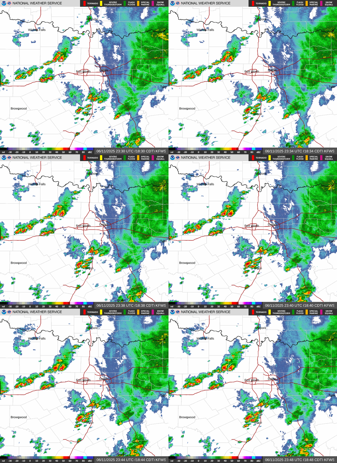
Radar and Satellite (Click for larger image)
Local Forecast Products
Forecast Discussion
:
how the forecast was developed.
Short-Term Forecast
:
what is expected in the 0-4 hour period.
Hazardous Forecast :
weather hazards during the next 7 days.
County Averaged
:
seven day forecast for each county.
Digital AFM
:
detailed county forecast for every 3 hours.
Point Forecast Matrix
:
detailed 3 hour forecasts for specific points.
Forecast Images
:
detailed graphical forecast elements.
State Forecast
:
tabular Hi/Lo & precip chances for parts of Texas.
Soaring Forecast
:
f
orecast data to assist soaring pilots.
Forecast Type Guide
:
explains the different forecast products.
Outlooks
Monthly and Seasonal Outlooks
Numerical Model Guidance
GFS MAV
GFS MEX
NAM MET
Computer Models
ACT
AFW
AMA
ACT
AFW
AMA
ACT
AFW
AMA
RAP from NCAR
DAL
DFW
DTO
DAL
DFW
DTO
DAL
DFW
DTO
ENSEMBLE Forecast
DYS
FTW
GKY
DYS
FTW
GKY
DYS
FTW
GKY
MM5 from
N
CAR
MWL
OKC
PRX
MWL
OKC
PRX
MWL
OKC
PRX
Composite Maps
SAT
SEP
SJT
SAT
SEP
SJT
SAT
SEP
SJT
More Guidance
SPS
TPL
TYR
SPS
TPL
TYR
SPS
TPL
TYR
Follow us on Twitter
Follow us on Facebook
Follow us on YouTube
FWD RSS Feed