
Dangerous and extreme heat will remain across portions of the southern U.S. this week. Heavy rainfall may bring significant flash flooding across portions of the Mid-Atlantic and Northeast through the night, and additional flash flooding concerns across New England on Wednesday. Monsoonal thunderstorms will bring a flash flood risk to the Four Corners region, especially in burn scar areas Read More >
Overview
|
A strong winter storm brought widespread rain and snow to much of Eastern Utah and Western Colorado between February 26 and 28, 2017. This complex storm system arrived over the region from two different areas. Moisture, associated with another "atmospheric river" got swept northeast across our region, bringing rain and snow to Southeast Utah and Southwest Colorado. |
 Radar image showing cold front aligned near Interstate 70 (I-70) during the early morning hours of February 28, 2017. Moderate to heavy snow was reported under the darker green bands. |
 |
 |
 |
| Dolores, CO (Credit: Mike Hill) |
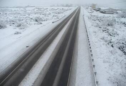
Highway 160 near Cortez (Credit: CDOT) |
Near Pagosa Springs, CO (Credit: Jenny Lynn Heckmann) |
Photos & Video:
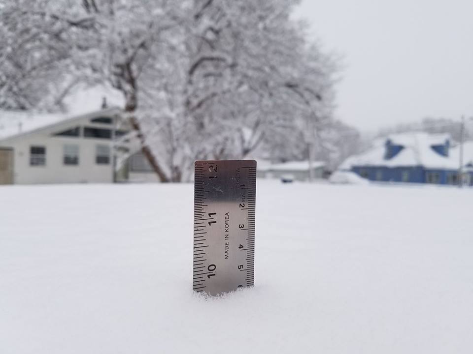
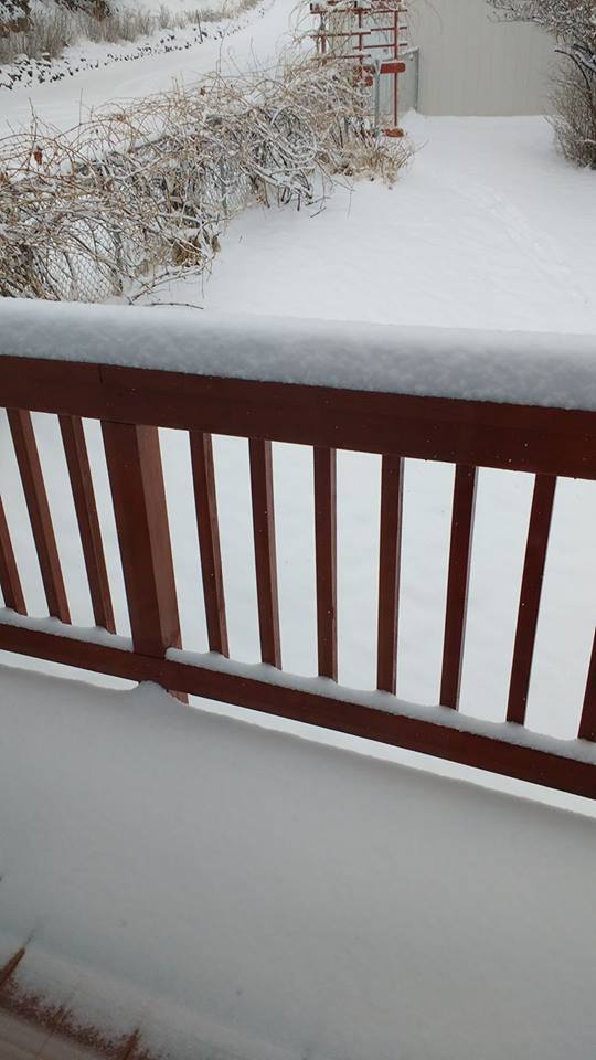
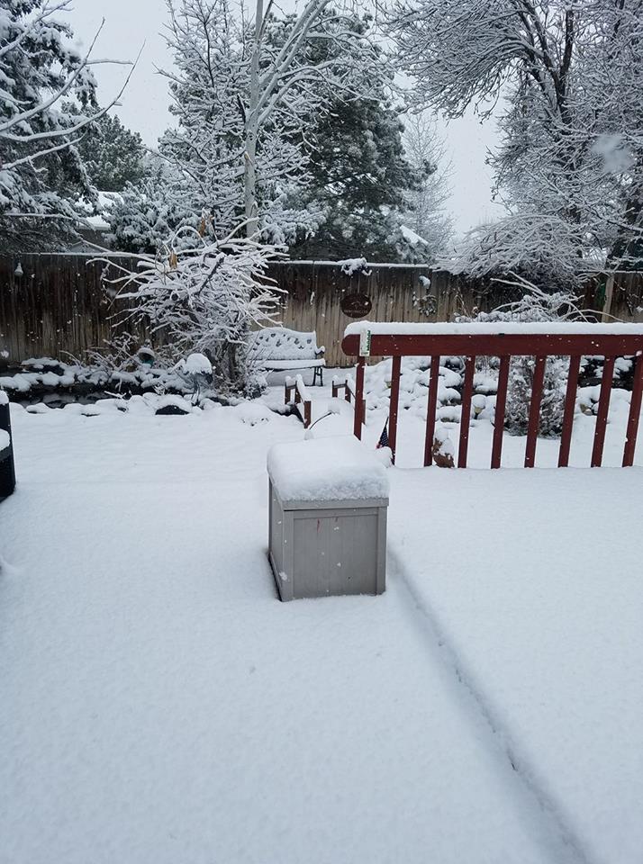
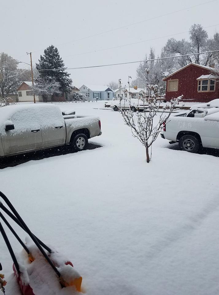
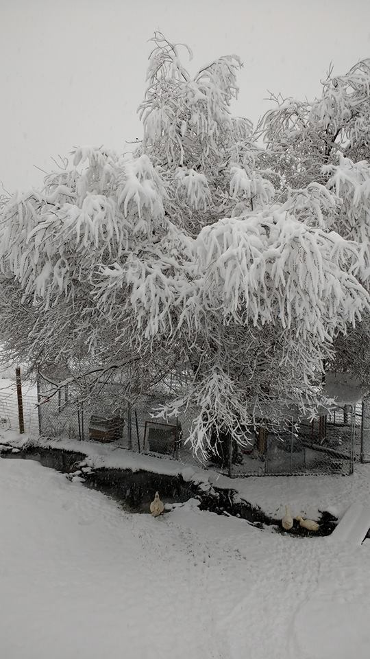
Snow photos from around the area
 |
 |
 |
 |
| Collbran, CO (Credit: Karen Clifton) |
Fruitvale, CO (Credit: John Painter) |
Rifle, CO (Credit: Patti Huffmon-Soles) |
Mancos, CO (Credit: Krista Boardman) |
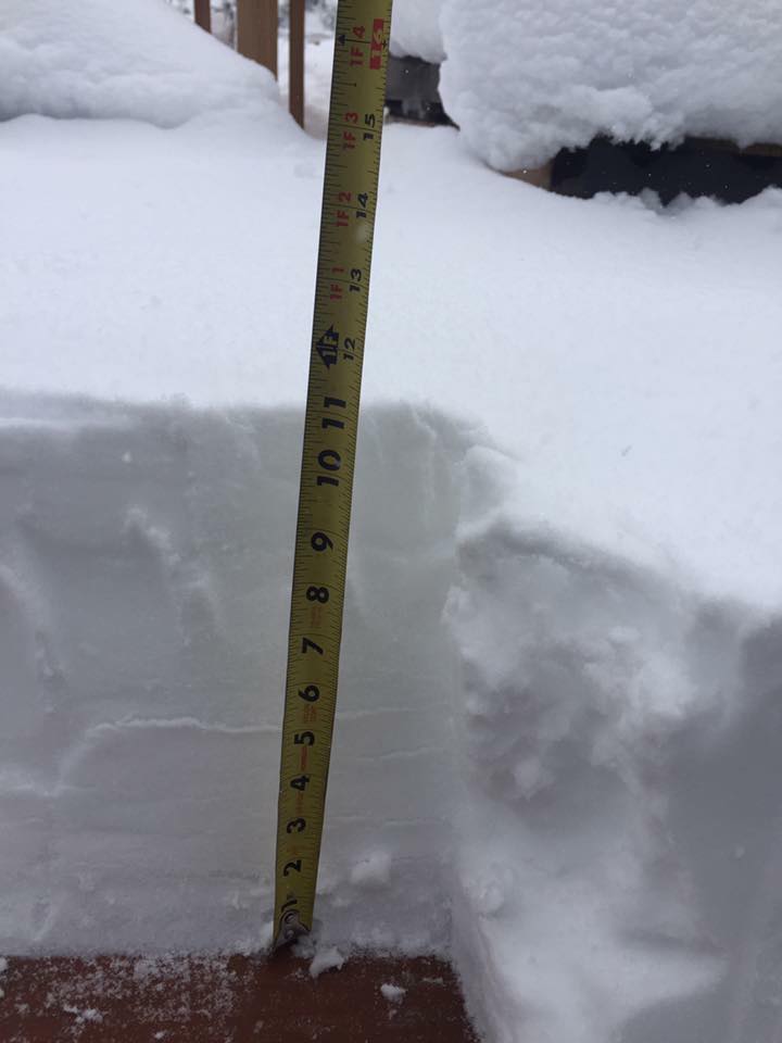
More snow images from around the region
.jpg) |
 |
 |
 |
| Pagosa Springs, CO (Credit: Jenny Lynn Heckmann) |
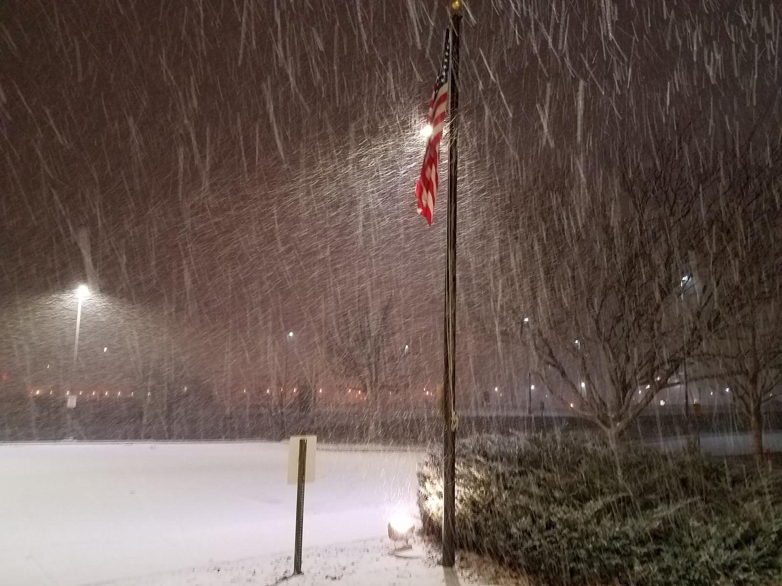
Snow falling at the Weather Forecast Office in Grand Junction, CO (Credit: Jeff Colton) |
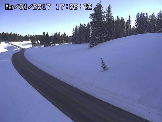
After the Storm photo of fresh snow along Highway 65 on the Grand Mesa (Credit:CDOT) |
Near Pagosa Springs, CO (Credit: Jason Coward) |
Storm Reports

 |
Media use of NWS Web News Stories is encouraged! Please acknowledge the NWS as the source of any news information accessed from this site. |
|

