
A storm system will bring a variety of hazards to the Eastern US. Wintry precipitation is expected from the central Appalachians to the Northeast. Heavy snow is expected for interior New England and the northern Mid-Atlantic through the night, and icing will continue in the Appalachians this morning. On the south side of the system, heavy rain and thunderstorms will persist across the Southeast. Read More >
Overview
|
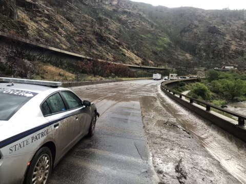
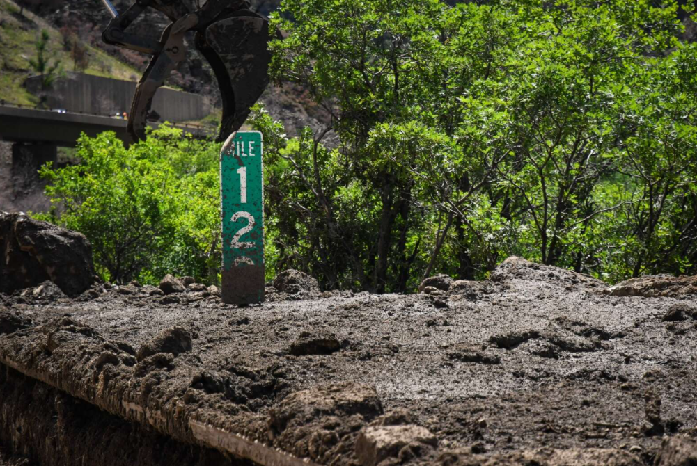
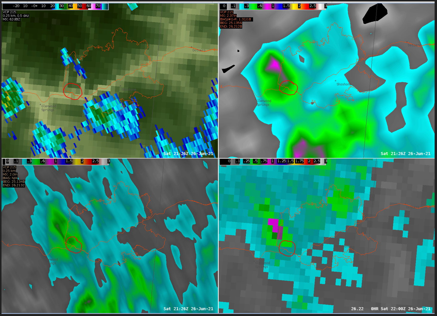
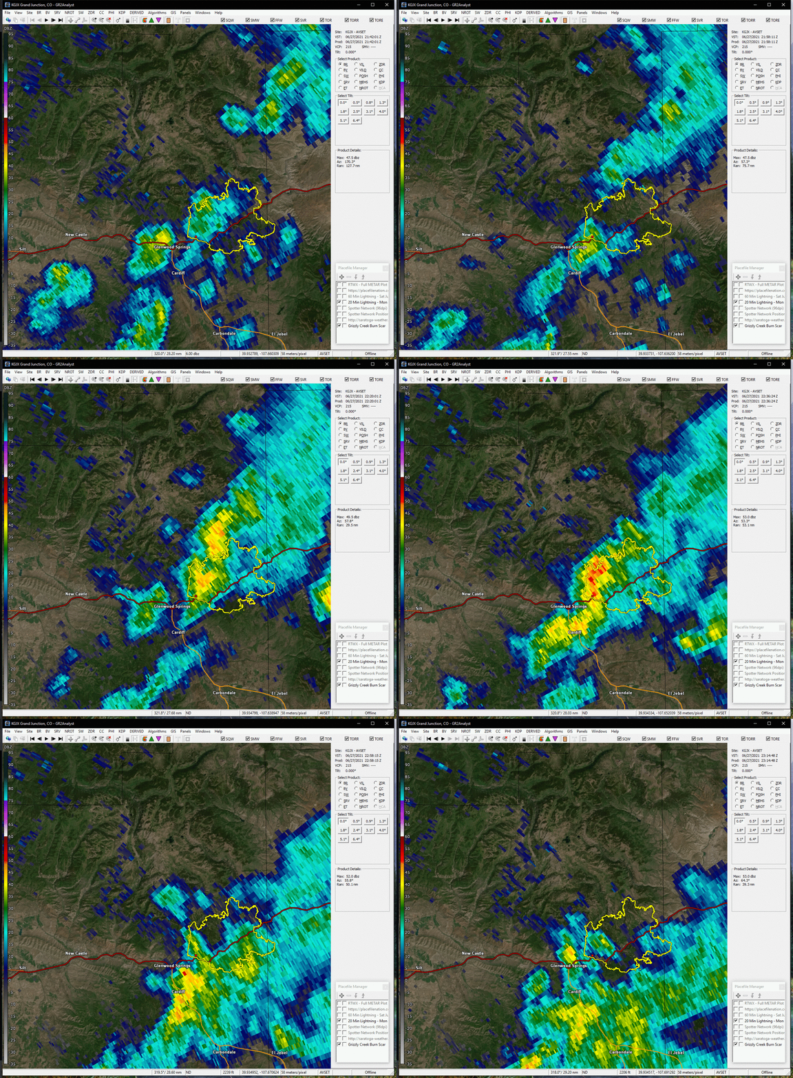
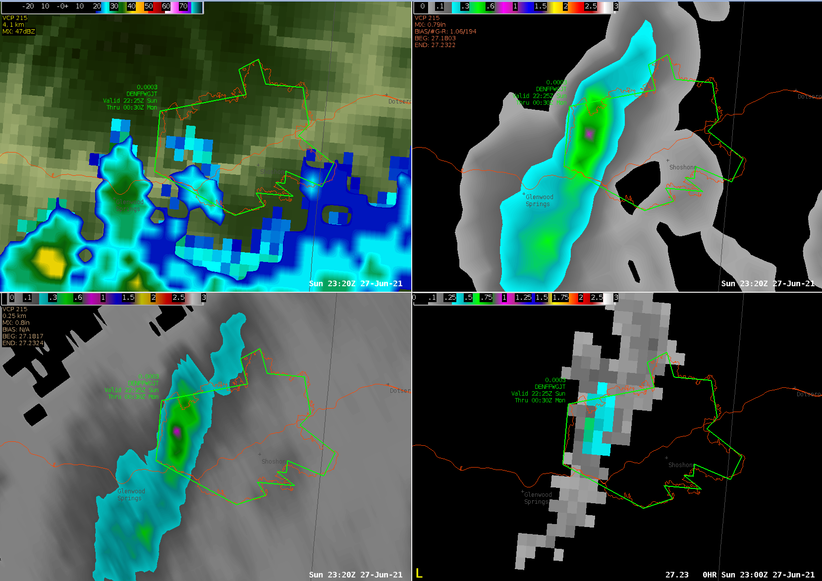
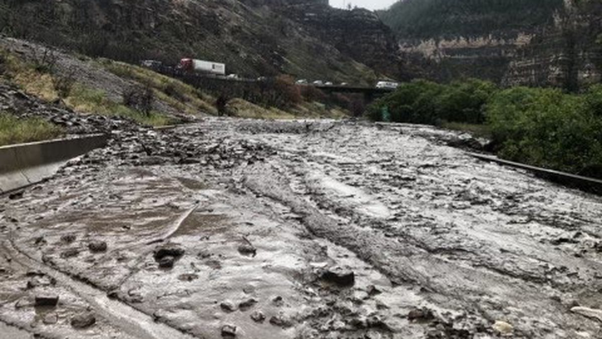
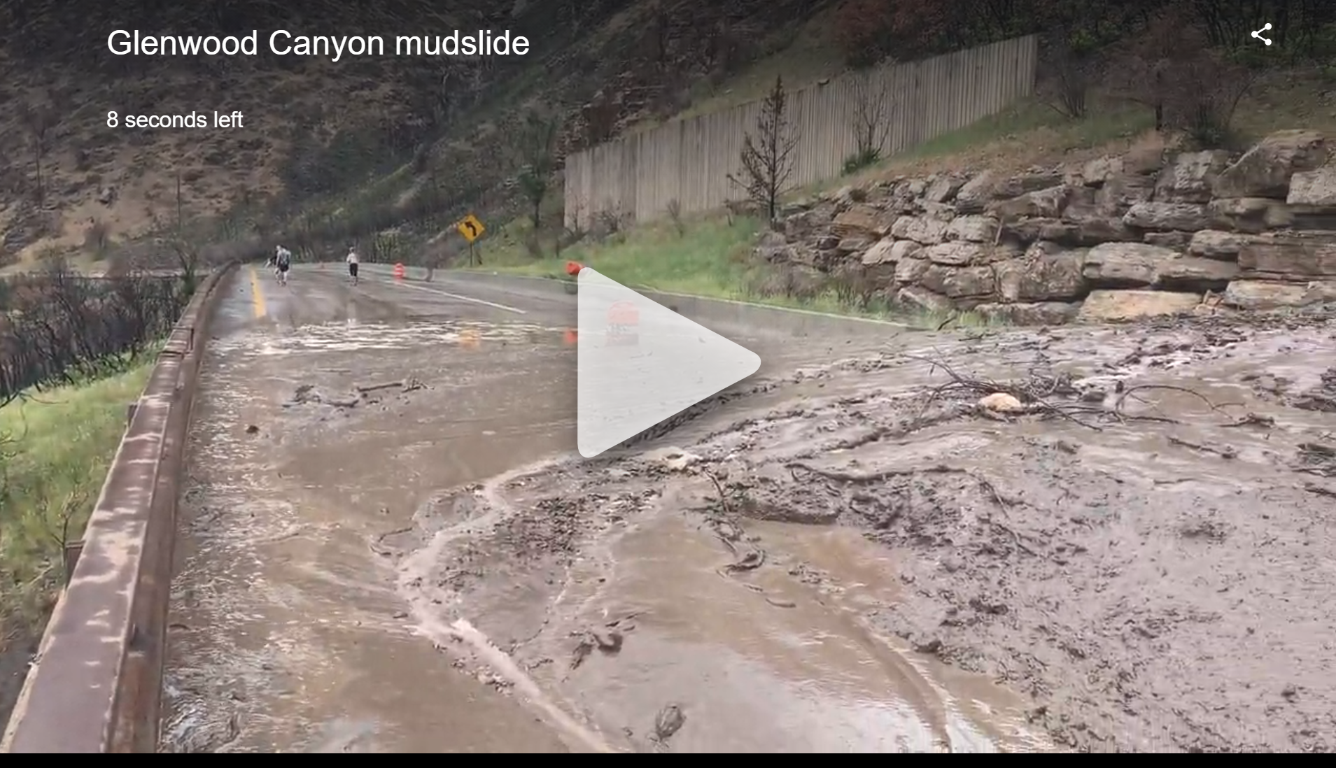
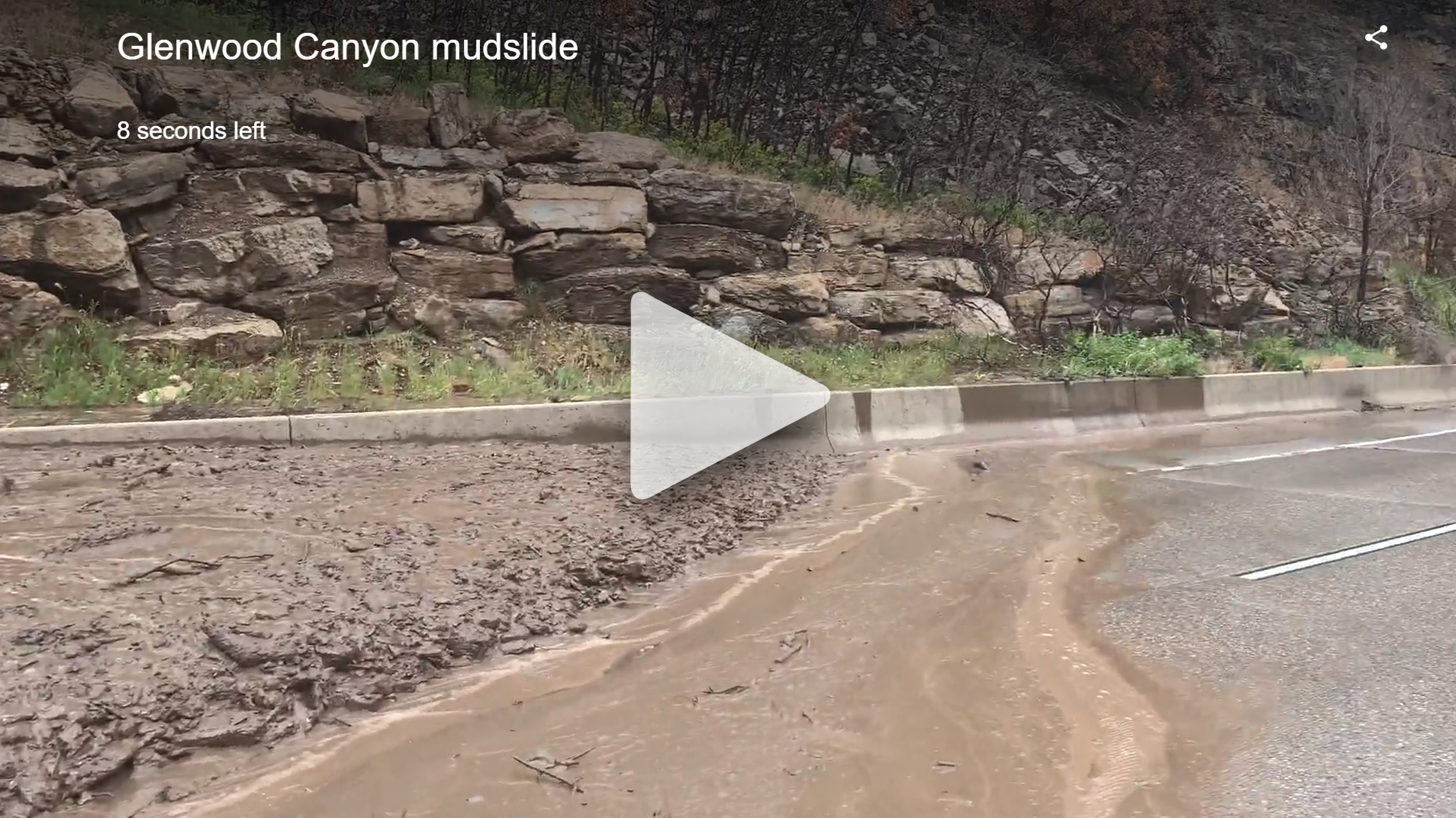
Northerly flow persisted across the western slope of Colorado during the weekend of June 26-27, 2021 on the backside of a departing trough of low pressure. Residual moisture paired with moderate instability led to isolated to scattered showers and thunderstorms along the Continental Divide during the afternoon and evening hours as available moisture was over 130% of the climatological normal. Additionally, weak winds aloft resulted in slow storm motion. All of these elements resulted in showers and thunderstorms that were producing heavy rainfall with some storms exceeding 0.50 to 1.00 inches per hour. As a result, significant debris flows occurred on the Grizzly Creek Fire burn scar near Glenwood Springs, Colorado, and along Interstate 70 in particular during the afternoon hours on June 26th, and then again on June 27th. I-70 was closed for about 7 hours due to debris cleanup on the 26th and for a full day after the flow on the 27th. Rainfall totals were estimated at 0.30 to 0.40 inches on Saturday the 26th which led to a debris flow that spread 70 feet wide and was up to 5 feet deep in areas. Sunday's rainfall totals were estimated at 0.40 to 0.60 inches which led to a flow that was 2 to 3 times larger than Saturday's. The debris flow on Sunday the 27th also covered both sides of the interstate. |
(Glenwood Springs Fire Department) |
 |
 |
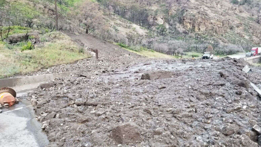 |
| Debris on I-70 on June 27th (CDOT) | Debris on I-70 on June 27th (Post Independent) | Debris on I-70 on June 27th |
Radar
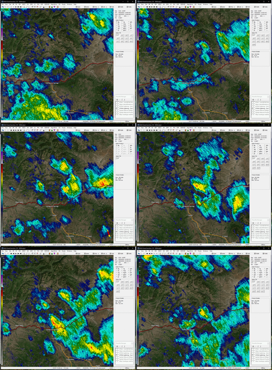
Radar footage and precipitation estimates from June 26th and June 27th
 |
 |
 |
 |
| Radar Loop on June 26th (NWS) |
Estimated Precipitation on June 26th | Radar Loop on June 27th (NWS) |
Estimated Precipitation on June 27th |
Photos
Photos from both debris flow events on June 26th and June 27th
 |
 |
 |
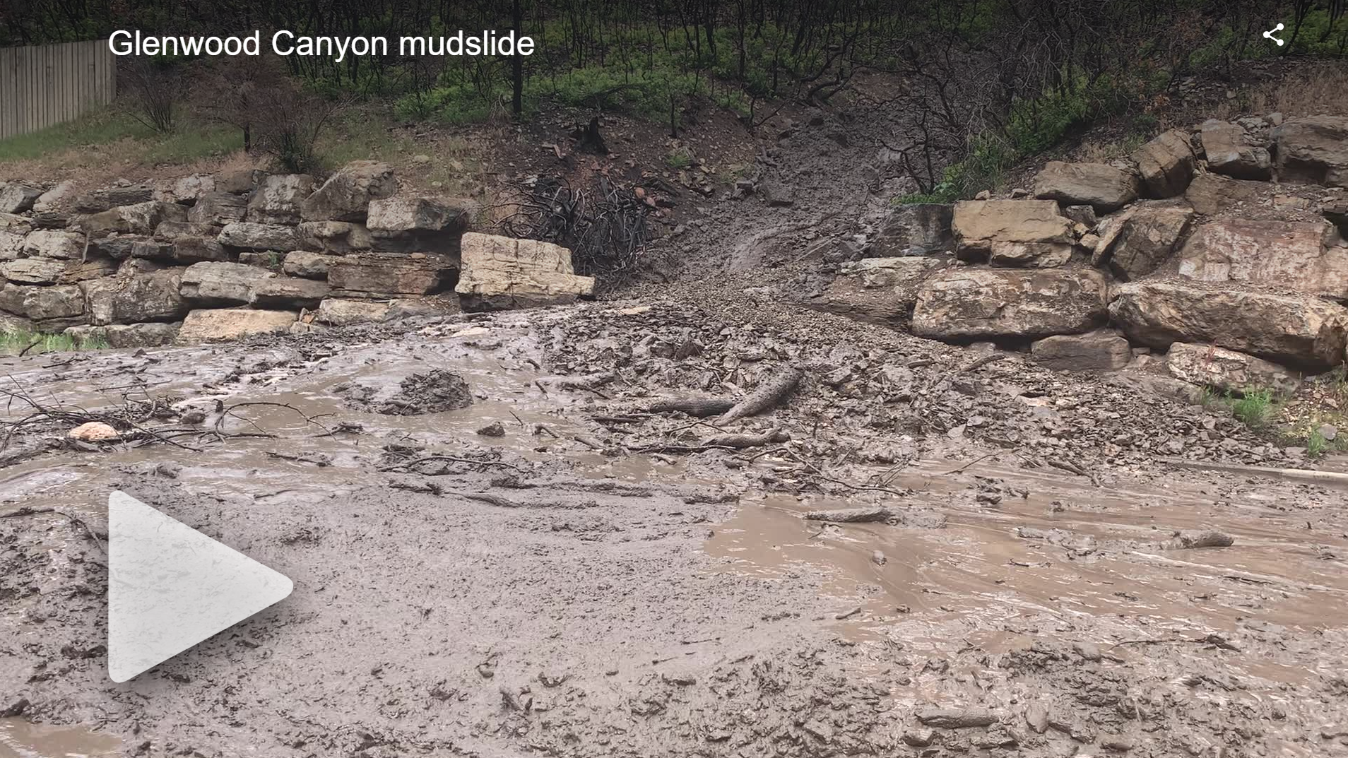 |
| Debris on I-70 on June 27th (CDOT) | Debris on I-70 on June 26th (KDVR) | Debris on I-70 on June 26th (KDVR) | Debris on I-70 on June 26th (KDVR) |
 |
Media use of NWS Web News Stories is encouraged! Please acknowledge the NWS as the source of any news information accessed from this site. |
 |