
Flash flooding threatens areas from the Tennessee Valley to the Carolinas as storms repeat along a stalled front. Monsoonal storms may trigger flooding in the Southwest. Dangerous heat expands across the Desert Southwest, Plains, mid-Mississippi Valley and Southern Tier. Critical fire weather for interior Pacific Northwest. Cooler, drier air brings brief relief to the Great Lakes and Northeast. Read More >
Grand Junction, CO
Weather Forecast Office
Overview
|
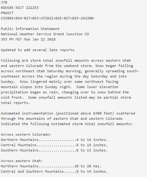
A cold Pacific storm system produced significant to heavy snow across portions of eastern Utah and western Colorado mostly within a 24-hour period from Saturday, January 20th to Sunday, January 21st. Snow began falling across northeast Utah Saturday morning, and generally spread south-southeast across the region during the day Saturday and into Sunday. Blowing snow was common in many areas. Snowfall persisted into Sunday night mainly over some northwest facing mountain slopes. Some lower elevation precipitation began as rain on Saturday, then changed over to snow behind the cold front. |
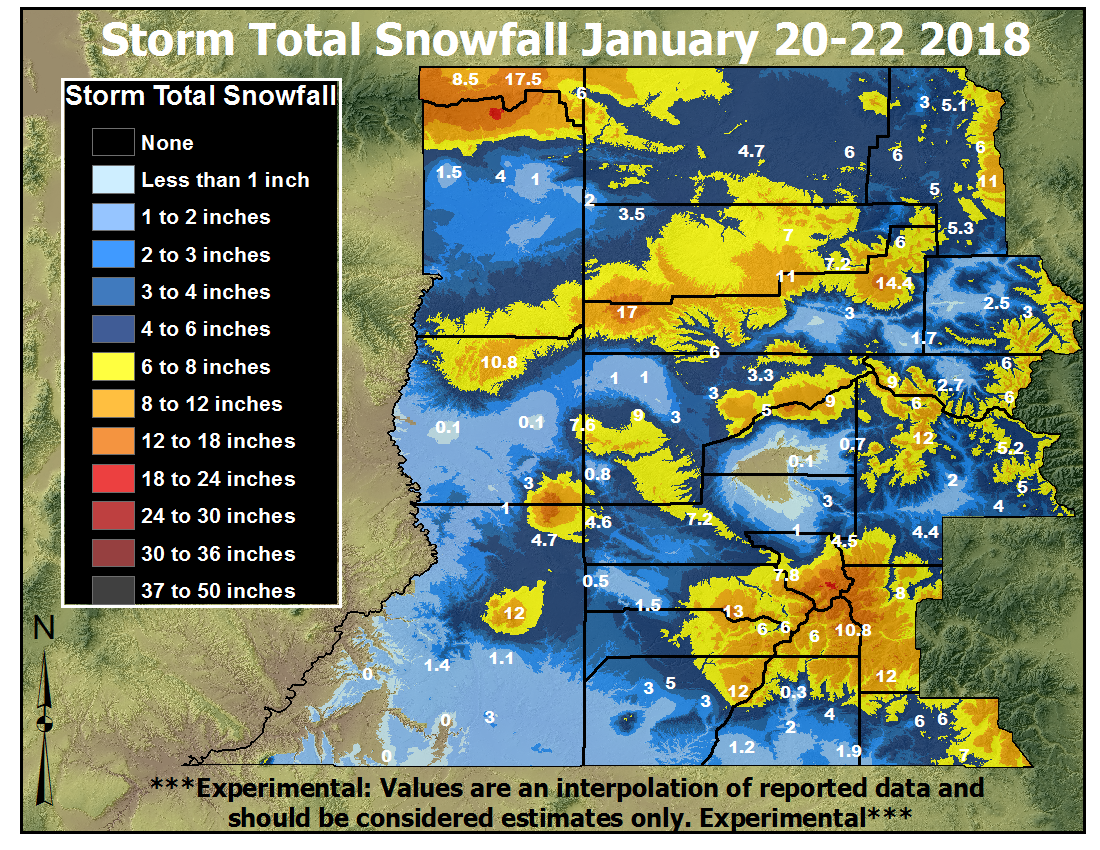 Storm Total Snowfall (January 20 - 22, 2018) |
 |
  |
 |
| Highway 40 on Rabbit Ears Pass (Photo: CDOT) | Highway 550 on Red Mountain Pass (Photo: CDOT) | Highway 50 on Monarch Pass (Photo: CDOT) |
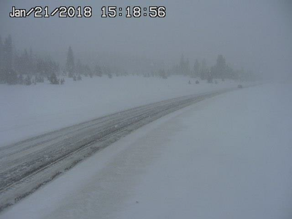
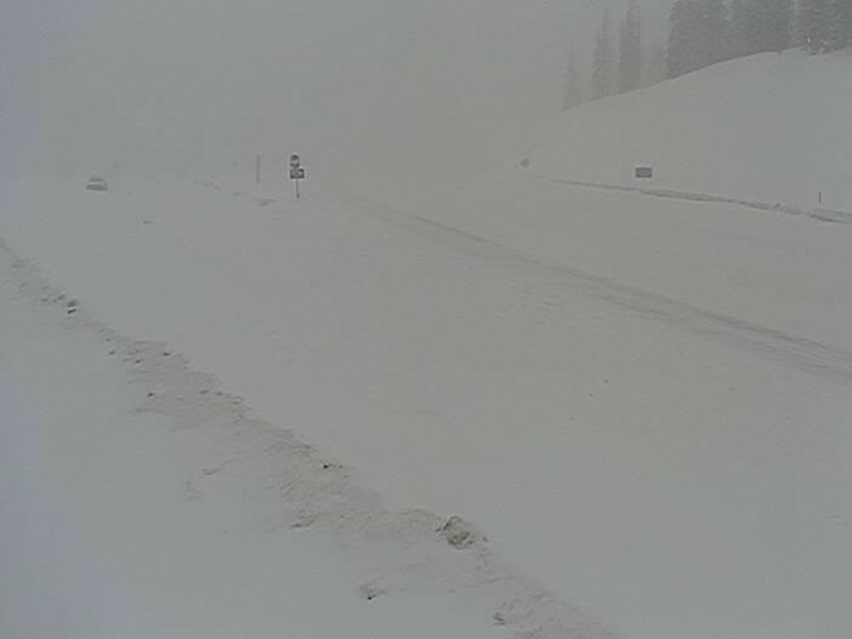
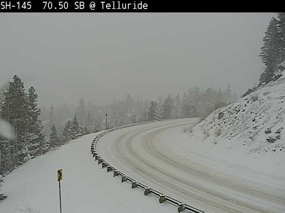
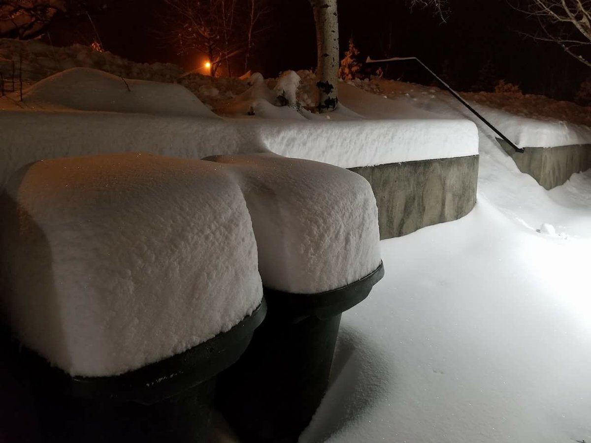
Photos & Video:
Header
 |
 |
 |
 |
| Highway 145 near Telluride (Photo: CDOT) |
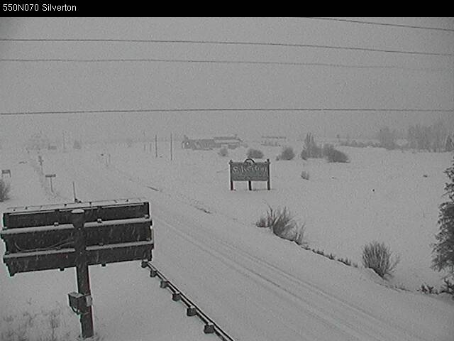
Silverton, Colorado (Photo: CDOT) |
Flaming Gorge, Utah |
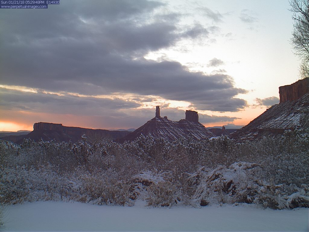
Castle Valley, Utah (Photo: Perpetual-Motion.com) |
Storm Reports
 |
Media use of NWS Web News Stories is encouraged! Please acknowledge the NWS as the source of any news information accessed from this site. |
|
Hazards
Detailed Hazards Viewer
National Briefing
Outlooks
Transportation Decision Support
Winter Storm Severity Index
Forecasts
Aviation Weather
Fire Weather
Forecast Discussion
Forecast Points
Local Area
Severe Weather
Soaring Forecast
Winter Weather
Hydrology
Recreational River Report
River Forecast
Weather Safety
Preparedness
NOAA Weather Radio
StormReady
SkyWarn
US Dept of Commerce
National Oceanic and Atmospheric Administration
National Weather Service
Grand Junction, CO
2844 Aviators Way
Grand Junction, CO 81506-8644
970-243-7007
Comments? Questions? Please Contact Us.

