Green Bay, WI
Weather Forecast Office
Shelf Cloud over Green Bay and the Fox Valley
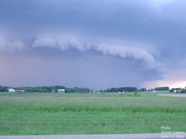
A thunderstorm with a photogenic shelf cloud (also known as an arcus cloud) moved across Waupaca and Outagamie counties into Brown county during the evening of June 13, 2004.
A shelf cloud develops ahead of the thunderstorm as dense, rain cooled air cuts underneath the warm, moist air ahead of the storm. Although its appearance is threatening, and almost always precedes gusty winds, the cloud is not necessarily a precursor to severe weather.
The Camera's View
(Click images for larger view)
 |
|
|
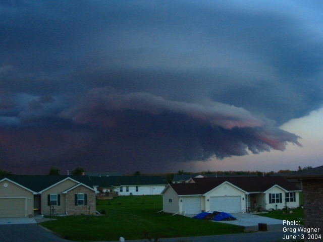 |
This image was captured by Greg Wagner in Greenville (Outagamie Co.). | |
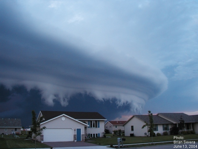 |
This photo was taken by Brian Severa in Little Chute (Outagamie Co.). |
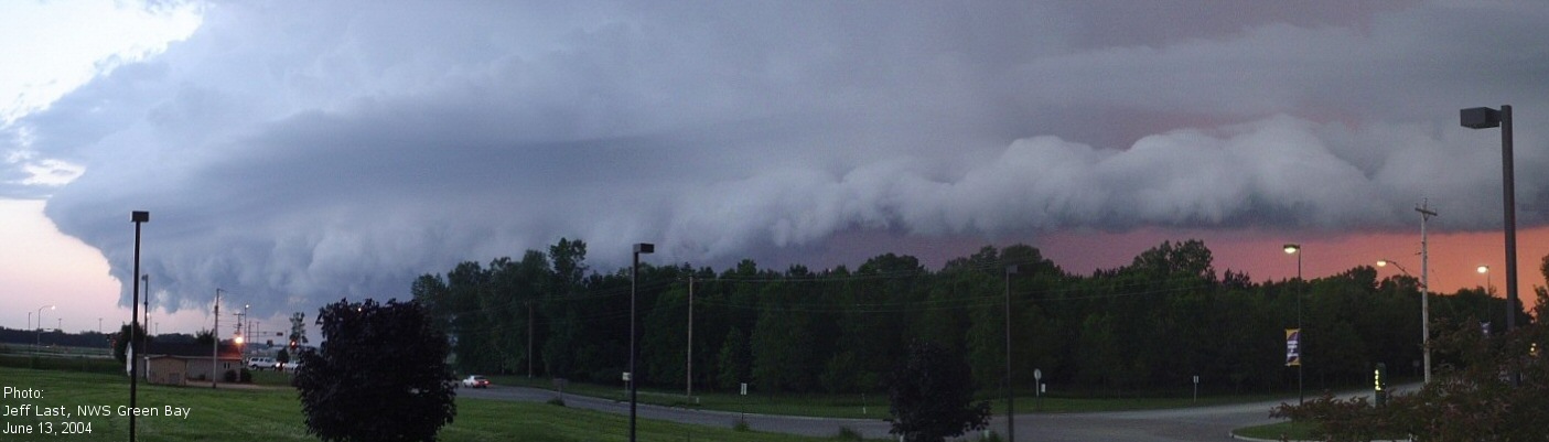 |
This panoramic view was taken from the NWS Office in Green Bay by Jeff Last. |
The Radar's View
(Click images for larger view)
 |
Base reflectivity (0.5 deg elevation) at 7:59 pm. Note gust front at the leading (southeast) edge of storm. |
US Dept of Commerce
National Oceanic and Atmospheric Administration
National Weather Service
Green Bay, WI
2485 South Point Road
Green Bay, WI 54313-5522
920-494-2363
Comments? Questions? Please Contact Us.

