Snow Expected to Impact Friday Morning Commute
|
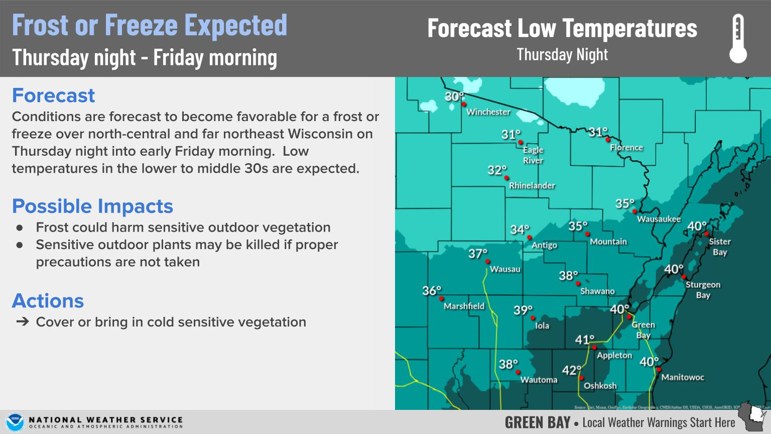
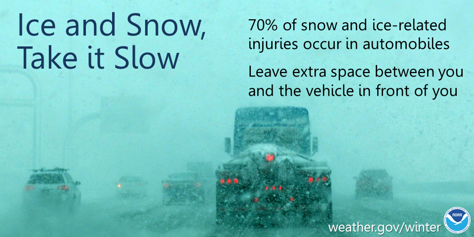
What: Additional inch or so of snowfall is expected over most locations by Saturday morning. Additional snowfall of 5 to 8 inches is possible across Vilas County, with 1 to 4 inches along the lake shore and portions of north-central Wisconsin. (See Snowfall Forecast graphics below.) Northwest winds will also increase to roughly 20 to 30 mph by this evening, which could result in some blowing or drifting of the snow. Impacts: Snow-covered and slippery roads are possible thru Saturday morning. Some blowing or drifting snow is also expected. Actions: In snow, slow down, keep extra distance between vehicles and allow extra time to reach your destination. See tabs below for more information. Click on any image for a larger view. |
Snowfall Forecasts
|
Latest Snowfall Forecast |
High End Amount Low End Amount
|
|
|
|
Radar
 |
|
Snow / Road Reports
|
Latest Snowfall Reports |
For the latest Wisconsin road conditions, visit: |
||
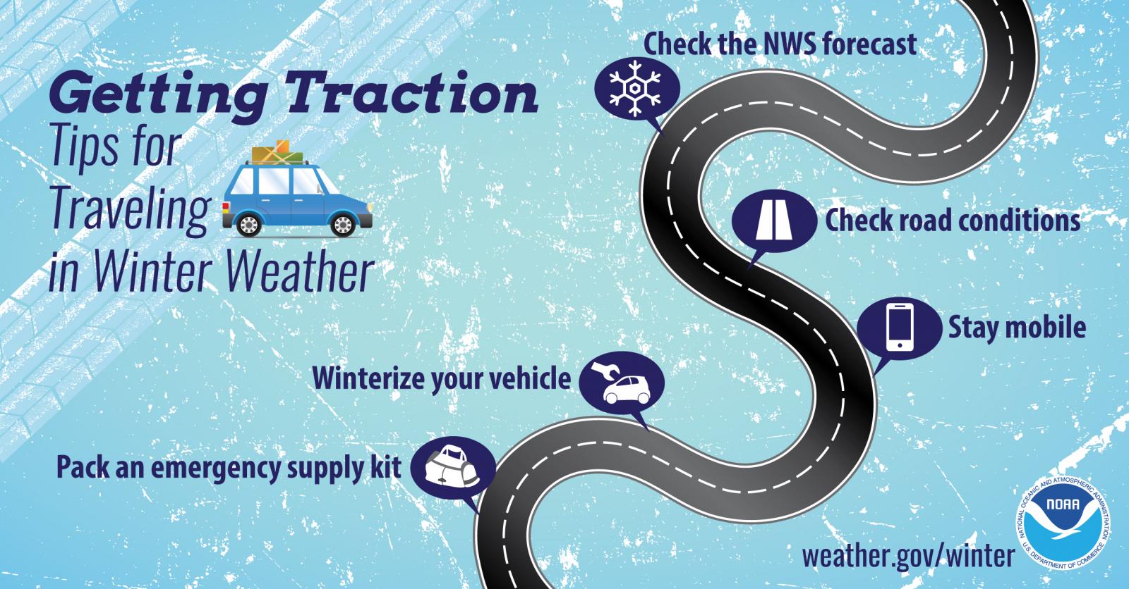
Weather Safety Information
| Winter Safety Info | ||
 |
 |
.png) |
|
|
|
|
 |
Media use of NWS Web News Stories is encouraged! Please acknowledge the NWS as the source of any news information accessed from this site. |
|