
A Pacific storm will bring rain and high elevation snow from the Pacific Northwest into the Northern Rockies. A series of storms are expected to move through the Bering Sea bringing strong winds, heavy precipitation, and elevated water levels from the West Coast to northern Alaska. Read More >







 Radar
Radar Current Weather
 Rivers & Lakes
 Satellite
 Forecast Maps
 Hour by Hour Forecast
 Tropical Weather
 Graphical Hazards
 Weather Hazard Briefing
 Report Severe Weather
 Fire Weather
 Drought
 Recreation Forecasts
 Obs & Text Products
 Forecaster's Discussion
 Climate Data
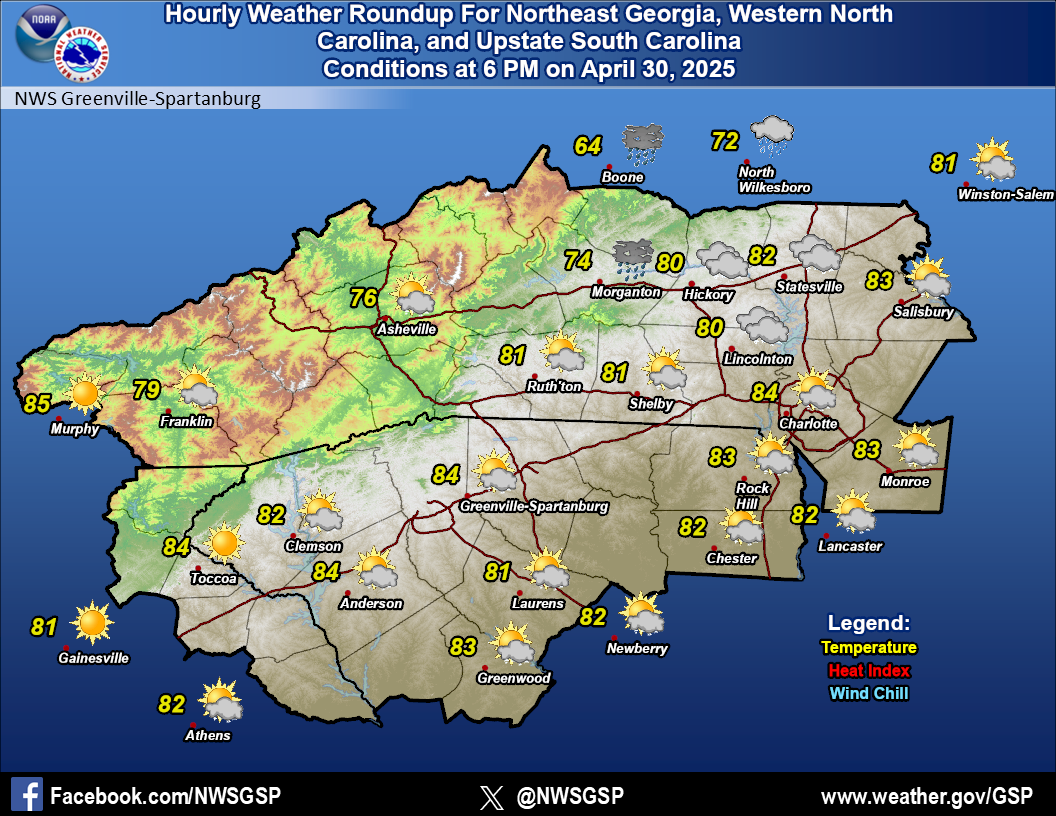 Hourly Weather
 NOAA Weather Radio
 Follow us on X
 Follow us on Facebook
 Follow us on YouTube
 GSP RSS Feed