Active spring pattern across the center of the nation with several rounds of severe thunderstorms in the forecast through the weekend. The regions under the greatest threats are the southern Plains into the Mississippi Valley. Meanwhile, dry and breezy conditions with dry fuels are aiding in wildfires across the western High Plains and the Southeast. Wind and some snow for northern Rockies. Read More >
Greenville-Spartanburg, SC
Weather Forecast Office

***Spot Forecast Request***


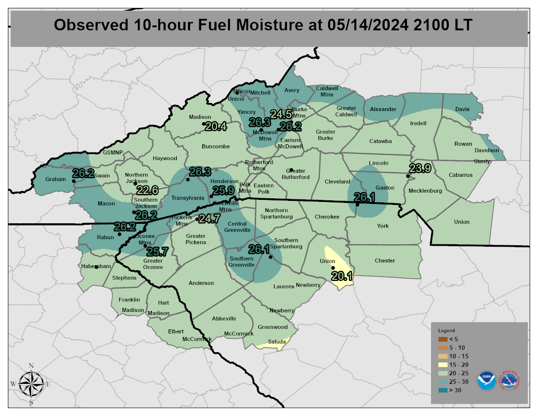
Click an icon to display a Point Forecast Matrix for RAWS and N.C. Econet sites or click inside a zone polygon to display the Area Forecast Matrix (Point Forecast Matrix Key)
Hazards
Severe Thunderstorms
Tropical Weather
Winter Weather
Storm Prediction Center
National Hurricane Center
Space Weather
Forecast
Weather Activity Planner
Aviation Weather
Graphical Forecasts
Weather Prediction Center
Long Range Forecast
Model Data
US Dept of Commerce
National Oceanic and Atmospheric Administration
National Weather Service
Greenville-Spartanburg, SC
GSP International Airport
1549 GSP Drive
Greer, SC 29651
(864) 848-3859
Comments? Questions? Please Contact Us.

