NWS All NOAA
Greenville-Spartanburg, SC
Weather Forecast Office
Severe Weather
Winter Weather
EM Briefing
Heavy Rainfall
Tropical Weather
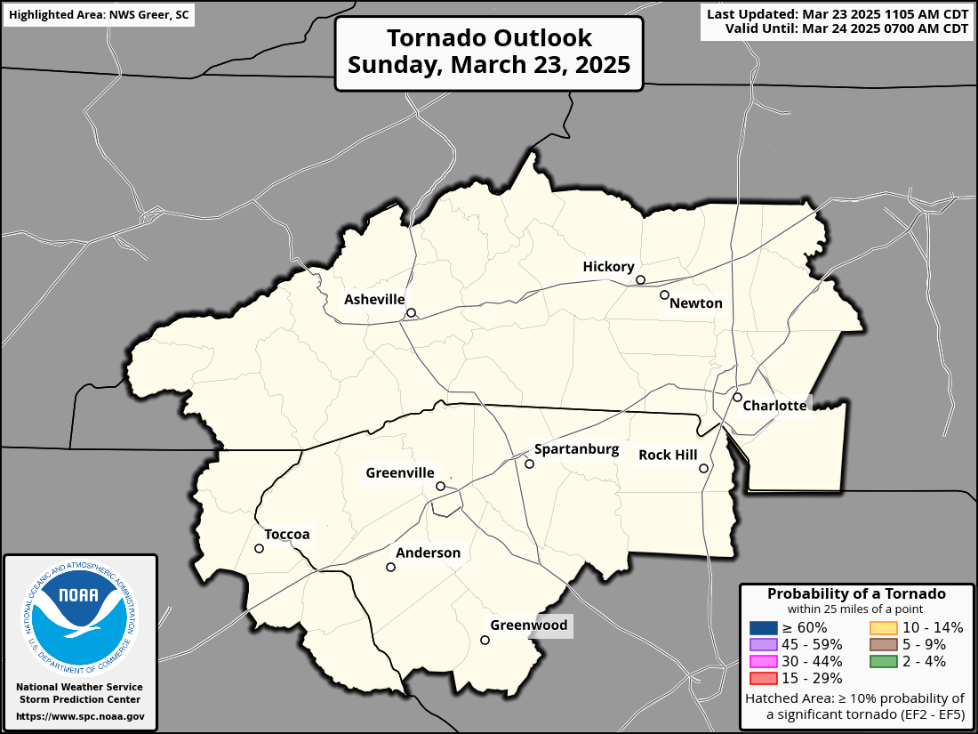
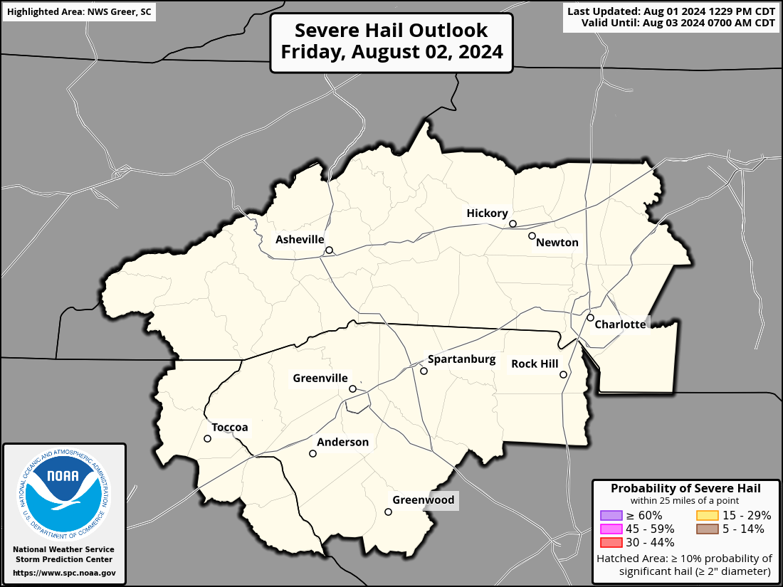
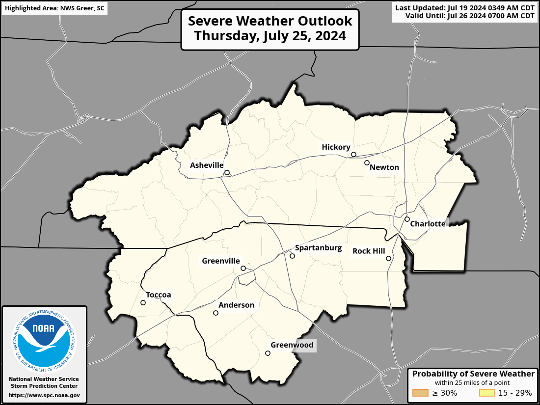
Storm Prediction Center Outlook and Watch Info (Details)
Your browser does not support inline frames or is currently configured not to display  <p>


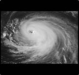 Tropical Weather


