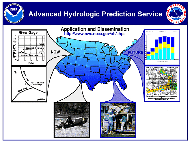
Current water resources forecasting techniques make limited use of growing skill in short to long-range weather and climate forecasts. The National Weather Service's planned Advanced Hydrologic Prediction Services (AHPS) will take advantage of these new skills. Once implemented, AHPS will produce hydrologic forecasts with lead times of a few days to several months (see accompanying graphic). It will provide river forecasts that not only account for precipitation already on the ground but that also will probabilistically account for estimates of future precipitation. This coupled prediction service will greatly improve the Nation's capability to take timely and effective actions that will significantly mitigate the impact of major floods and droughts. The system will also provide better overall information for use in managing competing water demands for irrigation, fisheries, hydropower and other purposes.
The AHPS builds on partnerships with other water cooperators (federal, state, multi state, quasi-governmental, and private sector organizations) and on existing National Weather Service (NWS) infrastructure, including the 13 River Forecast Centers (RFCs) and the NWS River Forecast System (NWSRFS) , a very large software system used by RFC hydrologists to produce forecasts of time series of discharges or stages at approximately 4,000 locations along the nation's rivers. It will take advantage of the NWS Modernization program which is providing NWS RFCs with Advanced Weather Interactive Processing System (AWIPS) --> Advanced Weather Interactive Processing System (AWIPS) equipment, a powerful suite of networked computer workstations with graphic capabilities. The modernization is also providing national coverage with approximately 140 WSR-88D Doppler radars which produce multisensor, high resolution (space and time) precipitation estimates utilizing gauge precipitation observations from networks such as the new Automated Surface Observing System (ASOS) --> Automated Surface Observing System (ASOS). The precipitation processing algorithms, using WSR-88D data, are being enhanced to account for bright band effects and to improve the rain gauge bias adjustment, while future enhancements will address orographic effects and snow accumulation.
A critical component of the AHPS is the provision of advanced technical capabilities. These advancements provide for:
1. critical software enhancements to the NWSRFS;
2. effective calibration and field-implementation of advanced hydrologic/hydraulic models within the NWSRFS;
3. a NOAA Hydrologic Data System (NHDS) which provides the nucleus of capabilities required by AHPS to handle the integration of real-time/historical station and gridded data, and model generated (forecast) outputs;
4. the useof short- to long-range weather and climate forecasts within the NWSRFS through hydrometeorologic coupling algorithms;
5. implementation of a Snow Estimation and Updating System (SEUS) which provides gridded estimates of snow water equivalent; and p> 6. more timely, accurate and informative forecast products to government and quasi-government water and emergency managers and to private sector intermediaries who provide value-added services to specific industries.
The advanced hydrometeorologic/hydrologic modeling of AHPS, along with NWS advances in weather and climate forecasting, will greatly improve NOAA's capability to provide more timely and accurate river forecasts. Therefore, AHPS will greatly enhance NOAA's national responsibility to provide river and flood forecasts and warnings for the protection of life and property and for the economic and environmental well-being of the nation. For these multiple uses, NWS will provide advanced forecast products through the AHPS which meet multiple objectives including:
1. support forecast service requirements of government and quasi-government water and emergency managers
2. satisfy needs for forecast services at near-, mid-, and long-term time scales for a wide variety of water use situations nationwide
3. provide critical information on forecast reliability
4. improve hydrologic forecast sensitivity to weather and climatic forecasts
5. provide water resources forecasts to private sector intermediaries who in turn serve specific industries.
==> Return to Main Hydrology Page <==

