
Widespread showers and thunderstorms are likely from from northeast New Mexico/Southeast Colorado, eastward into the Central Plains through the Central Appalachians. Slow moving low to bring heavy rainfall to the Central Gulf Coast into the weekend. Dangerous heat is expected from the Lower Mississippi Valley, Tennessee Valley, Ohio Valley into the Mid-Atlantic and Northeast. Read More >
Last Map Update: Wed, Jul 16, 2025 at 8:36:32 pm PDT


|
Text Product Selector (Selected product opens in current window)
|
|


 Hanford Radar
 Edwards Radar
 Recent Temperatures
 Satellite
 Weather Map
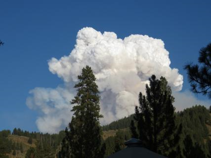 Central Valley and Sierra Nevada Smoke Forecast
 Experimental Fog Severity Index
 Social Media
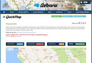 Caltrans QuickMap
 Drought