
A weather system in the Pacific Northwest will produce rain throughout the day, before a potent atmospheric river produces a prolonged round of heavy rainfall, widespread urban and river flooding, and high elevation snow to the region Monday through Wednesday. Showers and thunderstorms may produce isolated damaging winds, a brief tornado, and locally heavy rainfall across parts of Florida today. Read More >
Last Map Update: Sun, Dec 7, 2025 at 12:32:13 pm PST
|
Text Product Selector (Selected product opens in current window)
|
|


 Hanford Radar
 Edwards Radar
 Recent Temperatures
 Satellite
 Weather Map
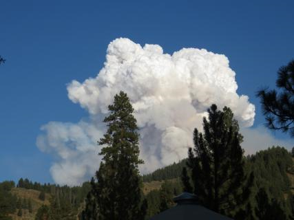 Central Valley and Sierra Nevada Smoke Forecast
 Experimental Fog Severity Index
 Social Media
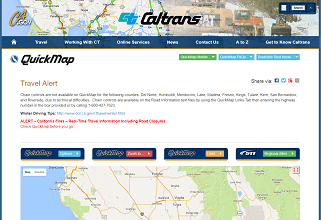 Caltrans QuickMap
 Drought