
A frontal boundary extending from the western High Plains to the Southeast will focus additional showers and thunderstorms this weekend. Some of these storms may become severe, alongside frequent lightning, and isolated instances of flash flooding. Meanwhile dry conditions will continue for the Great Basin where fire weather concerns linger. For the mid-Atlantic and Northeast, seasonable weather. Read More >
Last Map Update: Sat, Aug 2, 2025 at 1:36:07 am PDT
|
Text Product Selector (Selected product opens in current window)
|
|


 Hanford Radar
 Edwards Radar
 Recent Temperatures
 Satellite
 Weather Map
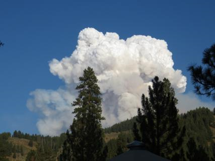 Central Valley and Sierra Nevada Smoke Forecast
 Experimental Fog Severity Index
 Social Media
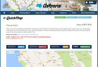 Caltrans QuickMap
 Drought