
The storm system producing severe weather and isolated flash flooding will begin to weaken tonight. As the storm moves east, several chances for severe weather and heavy rain are possible from the Midwest and Ohio Valley to the Southern Plains, Lower Mississippi and Tennessee valley. Heavy snow continue to impact the Northern Rockies. Critical fire weather conditions persist in the Southern Plains Read More >
Last Map Update: Tue, May. 7, 2024 at 10:48:21 pm PDT


|
Text Product Selector (Selected product opens in current window)
|
|


 Hanford Radar
 Edwards Radar
 Recent Temperatures
 Satellite
 Weather Map
 Central Valley and Sierra Nevada Smoke Forecast
 Experimental Fog Severity Index
 Social Media
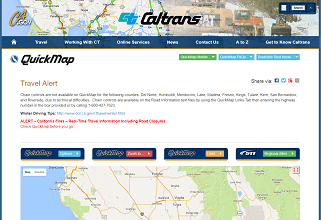 Caltrans QuickMap
 Drought
 Follow us on YouTube