Forecast low temperatures for Southern California for Friday night into Saturday Jun 13, 2026. For the coastal areas: 64 to 67, western valleys and inland Orange County: 62 to 67, inland valleys: 61 to 65, mountains between 4000 ft and 7000 ft: 56 to 73, high desert: 64 to 74, low desert: 76 to 86.


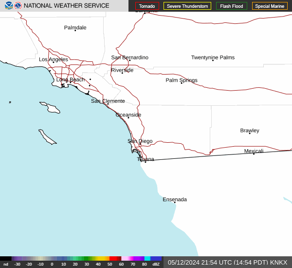 San Diego Radar
 Santa Ana Radar
 Satellite
 Weather Stats