
A low pressure center tracking across the Great Lakes and its associated cold front extending across the Southern Plains will focus occasional showers and thunderstorms through tonight. A few of these thunderstorms may become severe alongside heavy rainfall that may cause flash flooding; Portions of the Southern Plains would be the greatest threat for these hazards through tonight. Read More >
Last Map Update: Thu, May 1, 2025 at 4:00:08 pm PDT

|
Text Product Selector (Selected product opens in current window)
|
|


 Hanford Radar
 Edwards Radar
 Recent Temperatures
 Satellite
 Weather Map
 Central Valley and Sierra Nevada Smoke Forecast
 Experimental Fog Severity Index
 Social Media
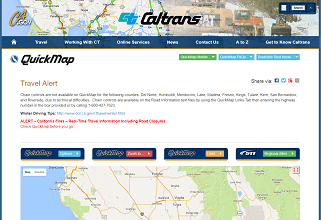 Caltrans QuickMap
 Drought