
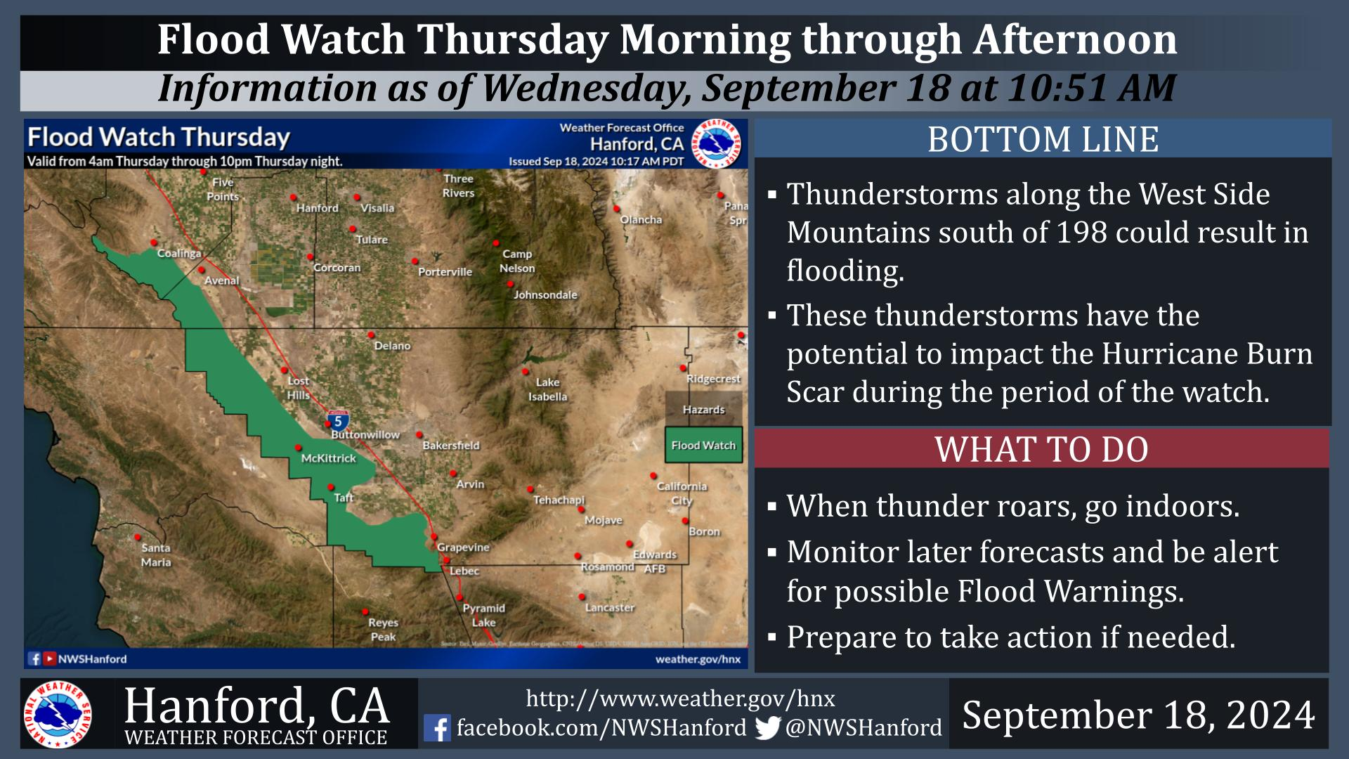
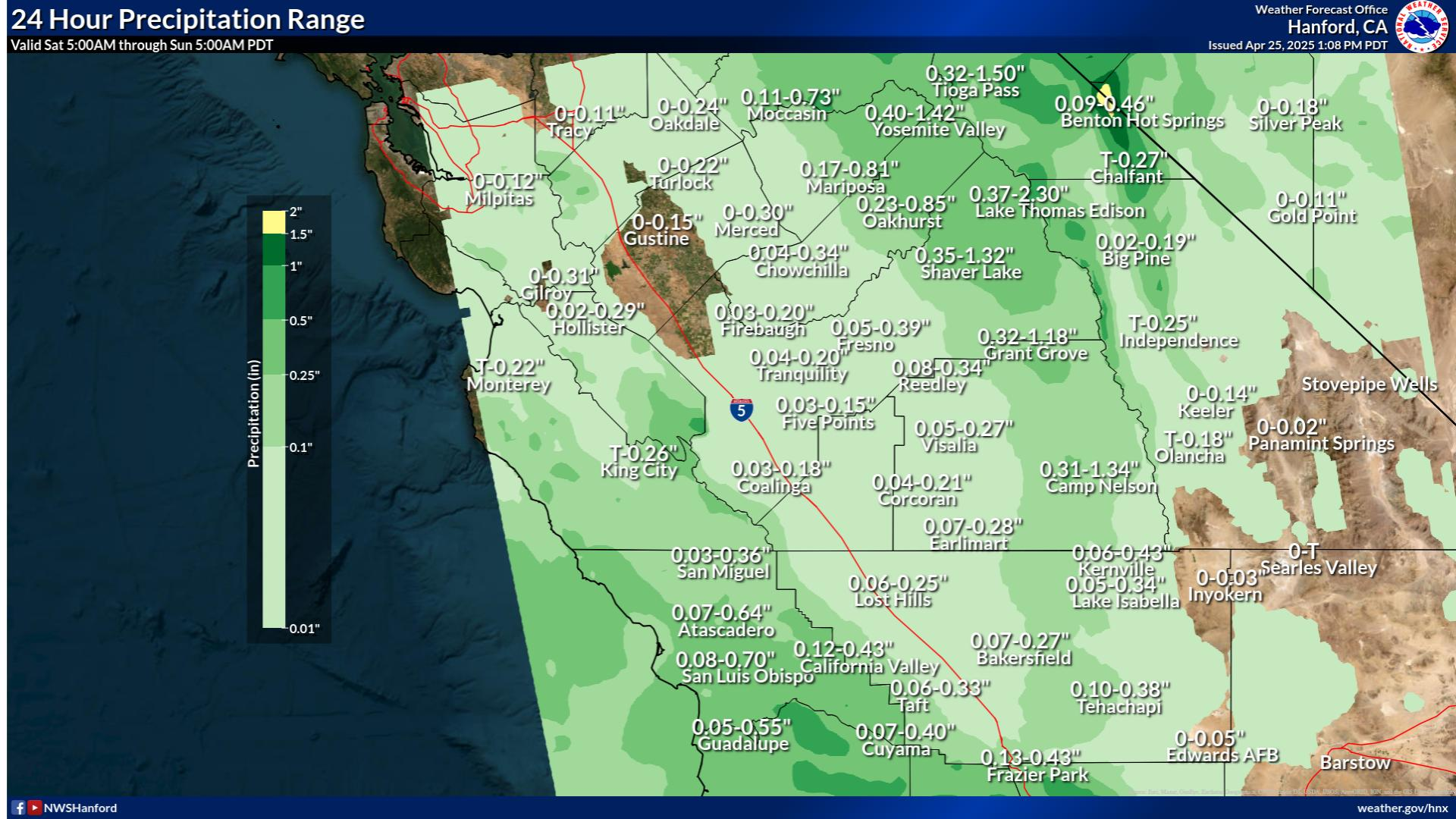
A prolonged atmospheric river will continue to impact the Pacific Northwest into the Northern Rockies with heavy rainfall, areas of urban and river flooding, landslides, heavy mountain snow, and gusty winds into Thursday. A strong clipper system will bring the threat of heavy snow and high winds across the Upper Midwest/Great Lakes as well as portions of the interior Northeast and Appalachians. Read More >
Last Map Update: Wed, Dec 10, 2025 at 3:22:29 am PST
|
Text Product Selector (Selected product opens in current window)
|
|


 Hanford Radar
 Edwards Radar
 Recent Temperatures
 Satellite
 Weather Map
 Central Valley and Sierra Nevada Smoke Forecast
 Experimental Fog Severity Index
 Social Media
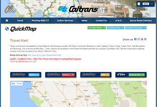 Caltrans QuickMap
 Drought