
Heat expands across the Desert Southwest, Plains, Mississippi Valley and Midwest into Monday. Fire weather concerns continue for portions of the Intermountain West. Active monsoonal moisture fuels thunderstorms over the Southwest with possible flash flooding. Tropical cyclone Fausto in the Pacific, should weaken as it approaches Hawaii; Dangerous surf, swells and rip currents are expected. Read More >
|
||||||||||||||||
Tornado Track Map - Franklin County Only 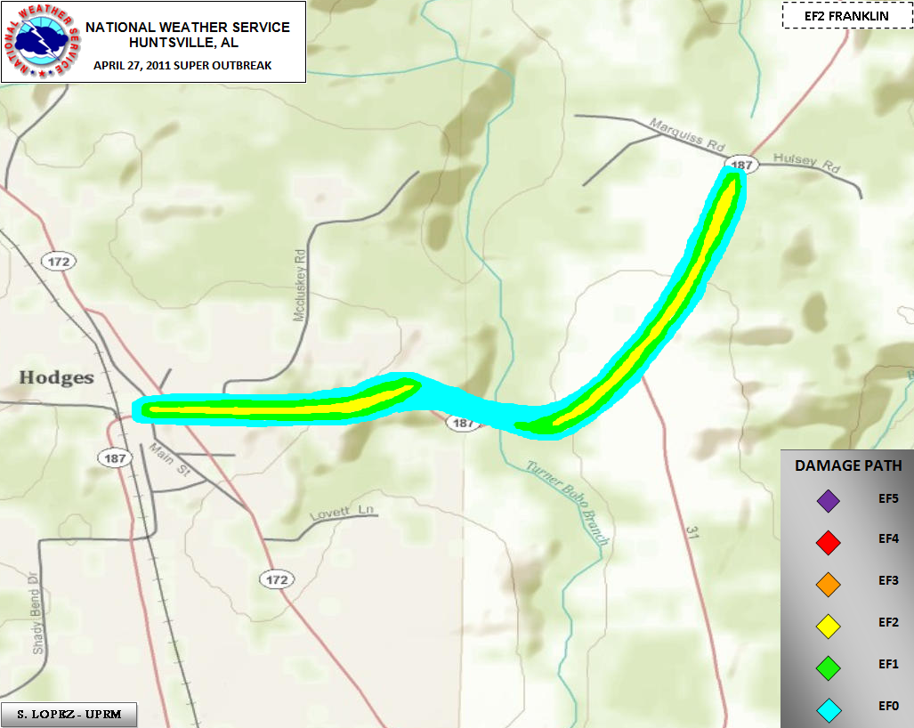 |
||||||||||||||||
|
Click on the image above to display an experimental contoured map created by Suheiley Lopez (UPRM) dipicting the strength of damage indicators seen along the track during NWS storm surveys. |
||||||||||||||||
|
** This tornado was a continuation of the Shottsville Mississippi EF-5 that later produced EF-3 damage in Marion County Alabama This tornado moved into south central Franklin County along Alabama Highway 187 south of the Hodges community. (For additional information on the tornado impact in Marion County, please consult information from the National Weather Service in Birmingham.) The tornado decreased quickly in intensity as it moved into Franklin county after producing EF-3 damage in Marion county. Just after crossing the Marion/Franklin county line, the tornado collapsed two chicken houses and ripped roofing material off of two others nearby along highway 187. The tornado continued its brief track northeast and ripped much of the roof off of a two story home as it approached highway 172. Based on roof damage observed and widespread nature of large trees blown down or snapped off near their base, winds were estimated at 120 mph -- EF-2 tornado. Another house nearby experienced significant roof damage as well. The path width at this point was around 300 yards. As it reached highway 31, some minor shingle and home damage was observed. However, the tornado moved over a mainly forested portion of this area, continuing to snap/uproot numerous large trees, snapping several near their bases. As the tornado moved toward Old Line Road, additional damage to houses was observed. A few homes had portions of their roofs peeled off. In addition, a mobile home was destroyed. In this area a car was totaled by the tornado. Numerous large trees were snapped off or blown down as well. A barn was heavily damaged by trees in this area as well. The path width of the tornado was largest at this point and was estimated to be around 550 yards. A path of numerous large trees being snapped or blown down continued just northeast of this road. The tornado appeared to quickly dissipate over the forested area northeast of Old Line Road as little additional damage was seen from ground surveys. however, vehicle access via roadways was not available to ascertain whether the track continued any further northeast. |
||||||||||||||||
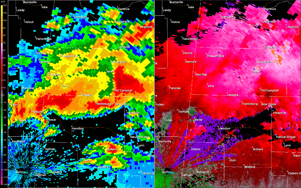
Radar Data
|
||||||||||||||||
|
|
||||||||||||||||


 Local Radar
 Weather Map