
Record setting heat is expected over the next several days from the Intermountain West through the northern Plains. Furthermore, fire weather concerns increase with dry and breezy conditions. Meanwhile, heavy rainfall and severe thunderstorm threats for the Ohio/Tennessee Valleys, central Appalachians and Southeast today. The threat shifts to central Gulf Coast and across central Texas this week. Read More >
|
||||||||||||||||
|
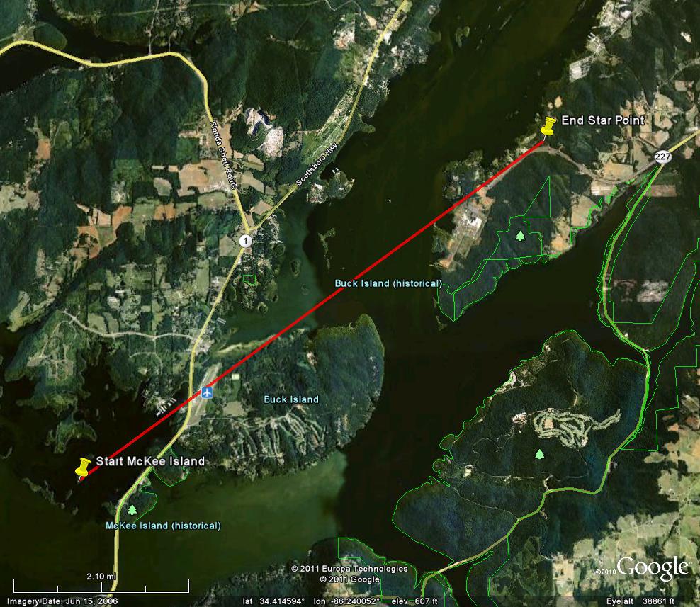
This tornado tracked northeast from Guntersville Lake (near McKee Island) west of Highway 79 across the north end of Buck Island and ended up near Star Point. Sufficient radar and damage survey information supports this additional track crossing the north side of Buck Island. Visible damage was seen to a marina just west of Highway 79 where a canopy collapsed. The tornado then crossed Joe Starnes Field (airport), then snapped/uprooted many trees along Buck Island Road on the north side of Buck Island. The tornado is line with damage that occurred over Star Point, along Milky Way Road, Monsanto Road and Star Point Road. Trees were mostly snapped, twisted and uprooted at this location. Little additional damage was noted northeast of this point, due to the tornado crossing over water at several points along its path. It is challenging to get additional precise location/damage information at this time. |
||||||||||||||||
|
||||||||||||||||
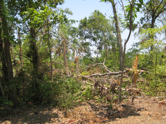
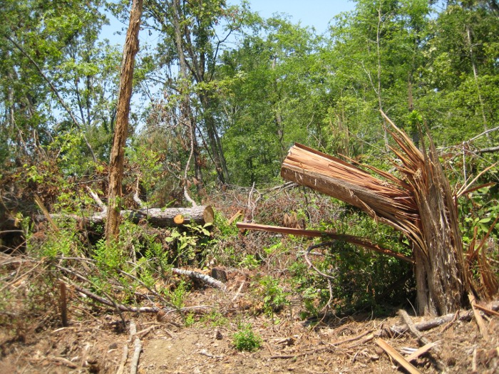
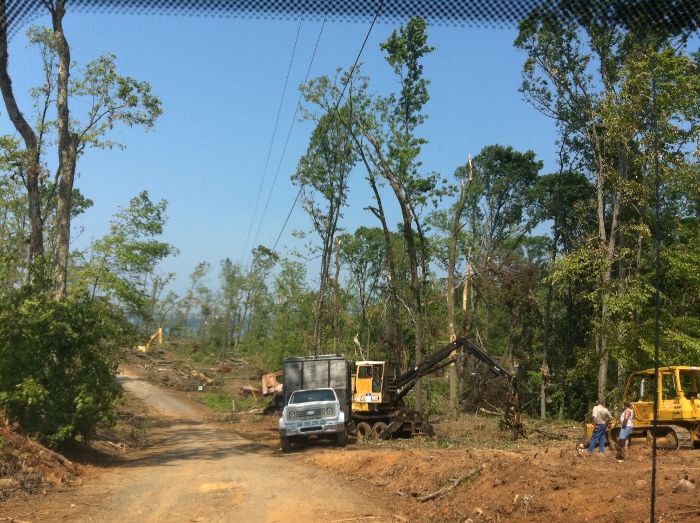
Tornado Damage Photos |
||||||||||||||||
|
||||||||||||||||


 Local Radar
 Weather Map