Huntsville, AL
Weather Forecast Office
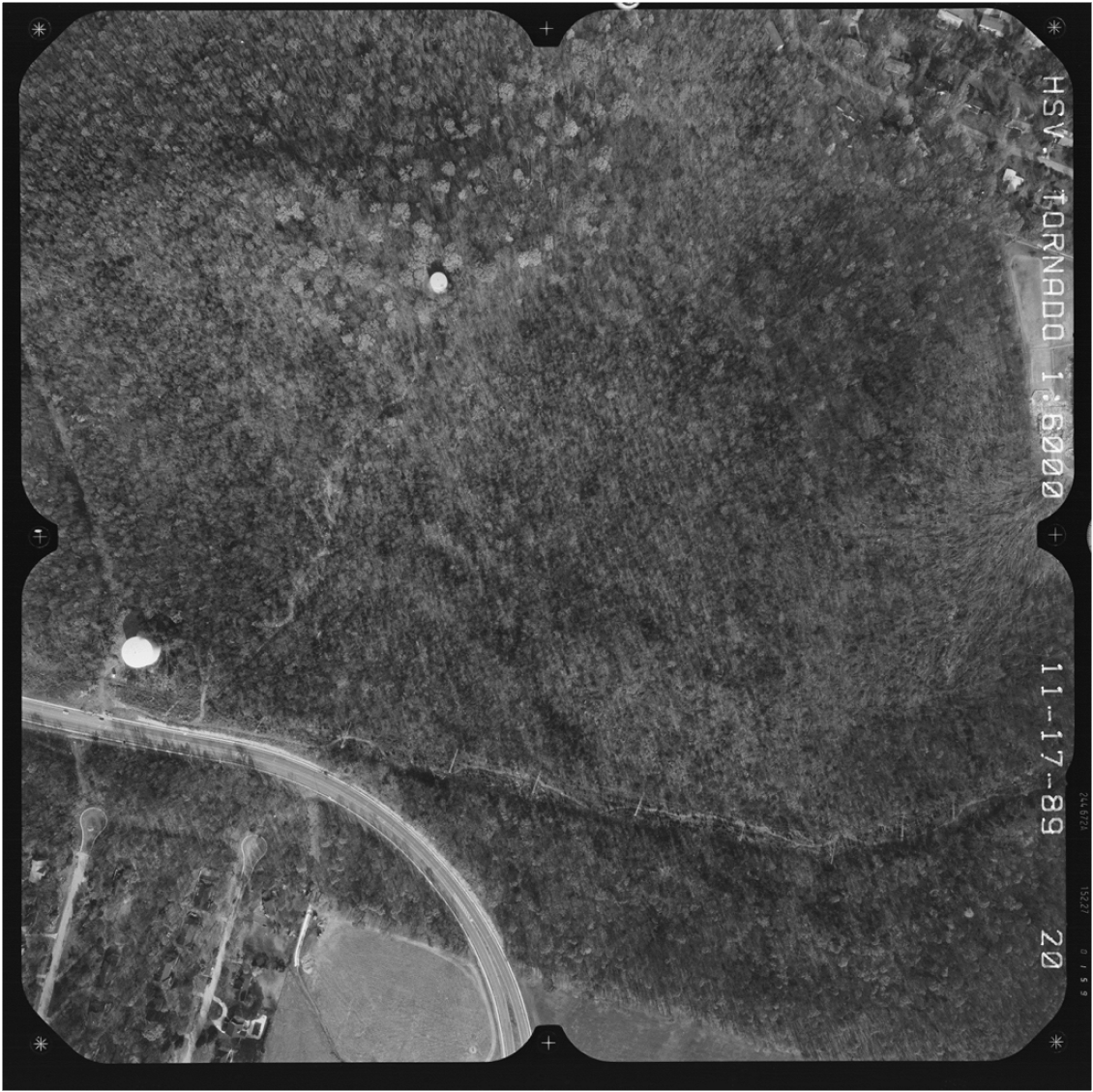 |
| Damage from the Airport Road Tornado, mainly along Airport Road just coming into western portions of Jones Valley. |
US Dept of Commerce
National Oceanic and Atmospheric Administration
National Weather Service
Huntsville, AL
320A Sparkman Drive
Huntsville, AL 35805
256-890-8503
Comments? Questions? Please Contact Us.


 Local Radar
 Weather Map