National Weather Service United States Department of Commerce

Excessive Rainfall Potential for the Southeast; Heat Expands for Center of the Nation; Critical Fire Weather for Pacific Northwest

Flash flooding threatens areas from the Tennessee Valley to the Carolinas as storms repeat along a stalled front. Monsoonal storms may trigger flooding in the Southwest. Dangerous heat expands across the Desert Southwest, Plains, mid-Mississippi Valley and Southern Tier. Critical fire weather for interior Pacific Northwest. Cooler, drier air brings brief relief to the Great Lakes and Northeast. Read More >

Drought Status / Indices

Drought Monitor link· US Drought Monitor
    Current Week
    Alabama-Only Drought Map
    Tennessee-Only Drought Map
    Drought Archive
· Drought Classifications


· U.S. Drought Portal
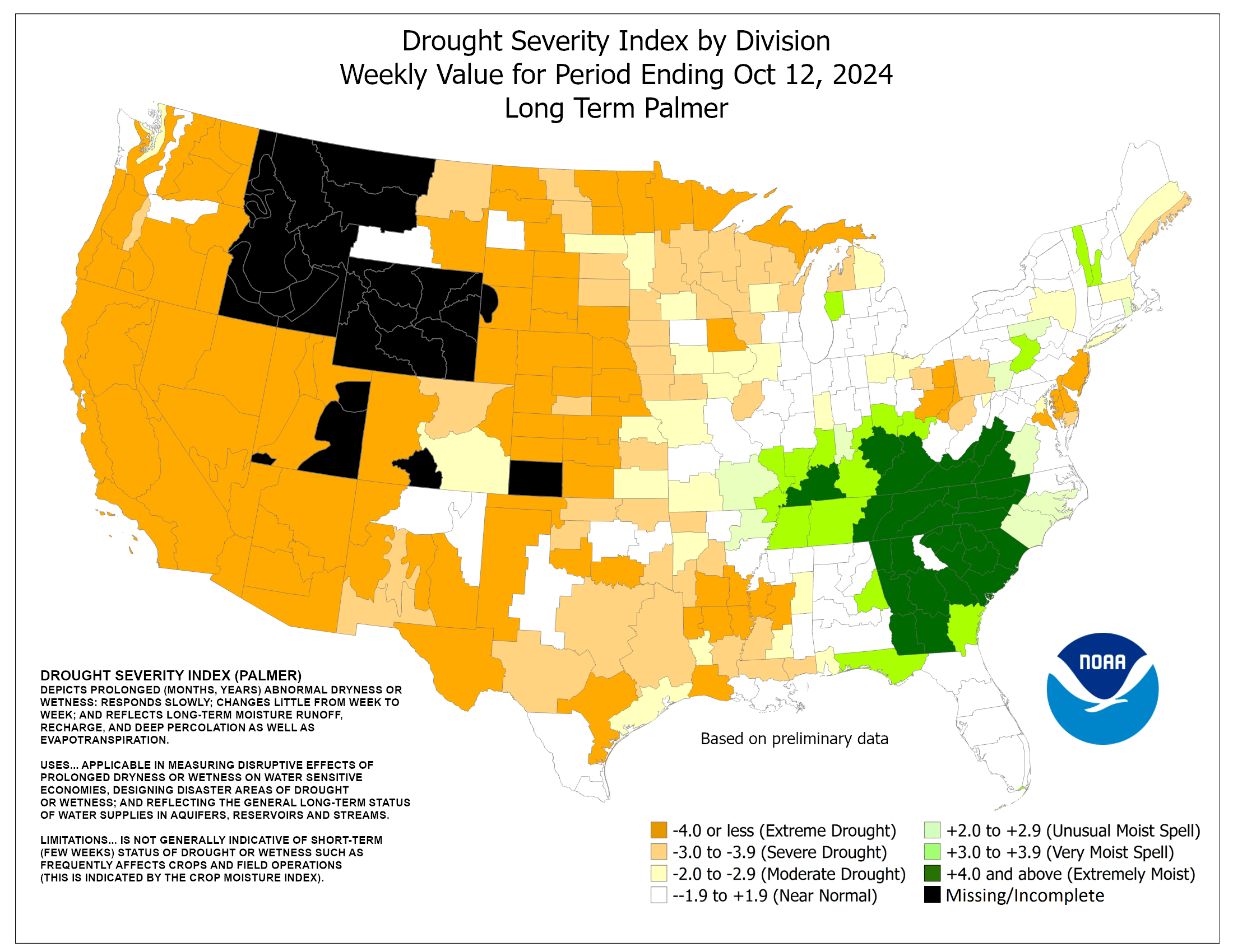
· Palmer Drought Index
· K-B Drought Index
· Current Drought Impacts

 

Hydrologic Impacts & Precipitation Crop & Vegetation Impacts
· Current Streamflow Levels
· Area Hydrographs
· Standardized Precip Indices
· Daily Temperatures & Precipitation
· Automated Station Rainfall: PDF
· COOP Precipitation: PDF
· % of Normal Rainfall for This Month: Alabama | Tennessee
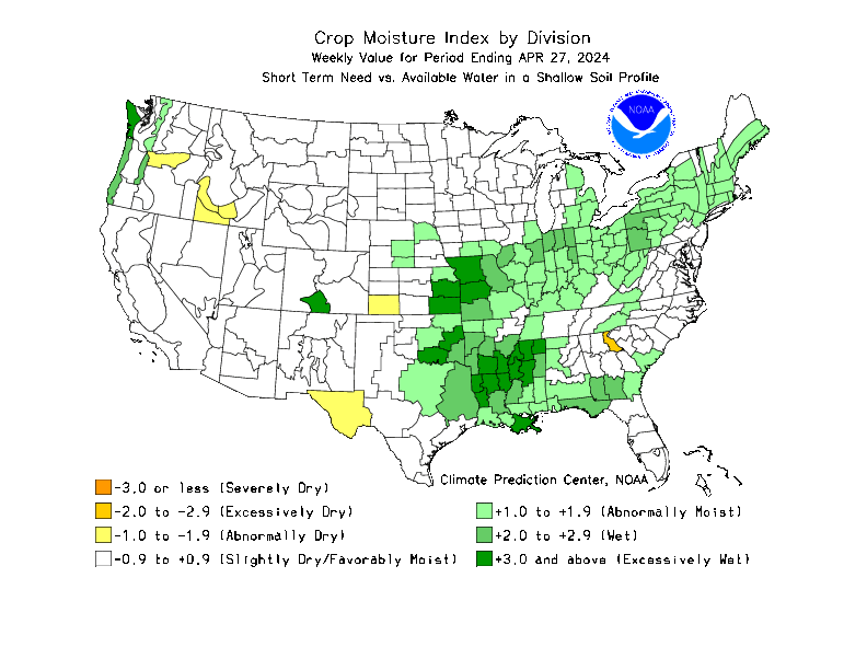
· Crop Moisture Index
· Soil Moisture Index
· Lawn & Garden Moisture Index: Alabama | Southeast
· Current Fire Danger Level
· Alabama Forestry Commission Burn Restrictions Status
Drought Related Forecasts Other Drought Links
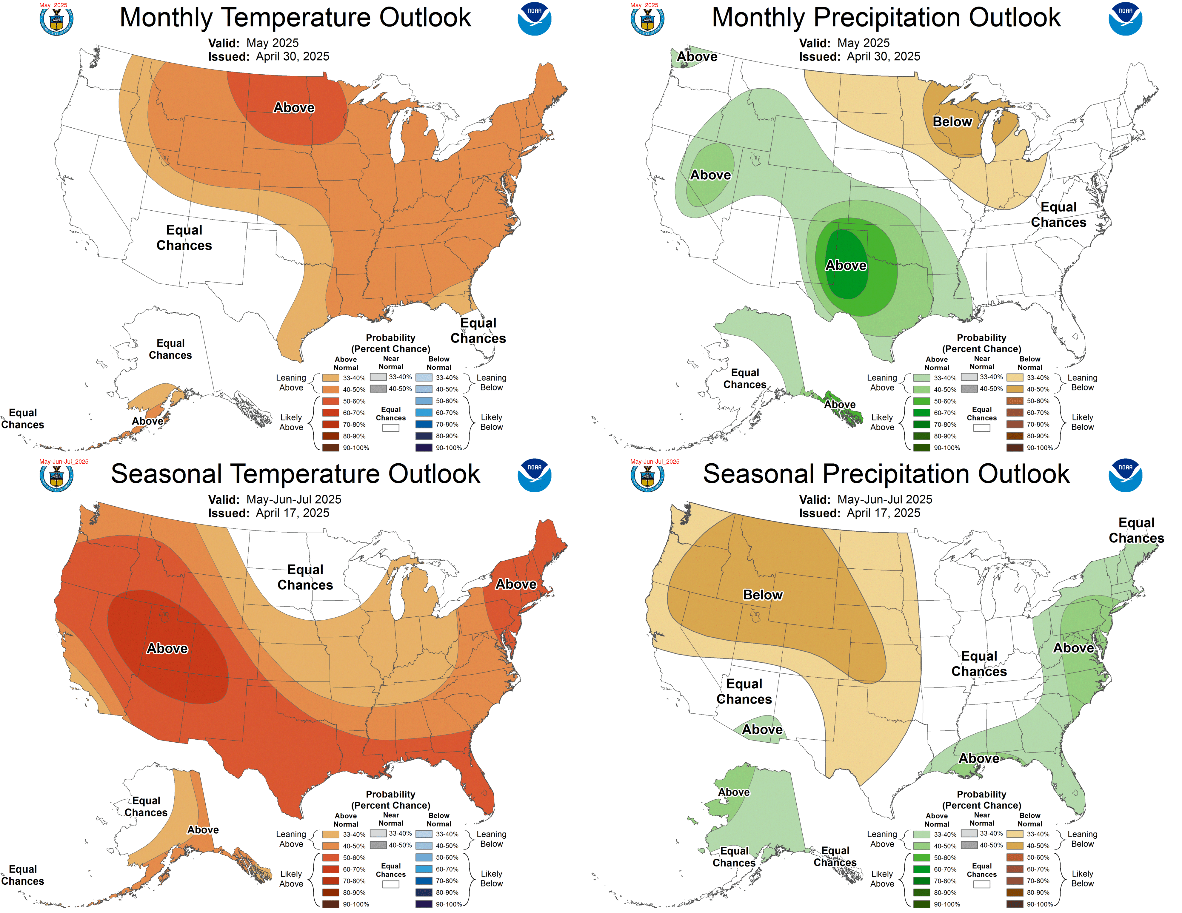
· 30 and 90 day outlook graphics
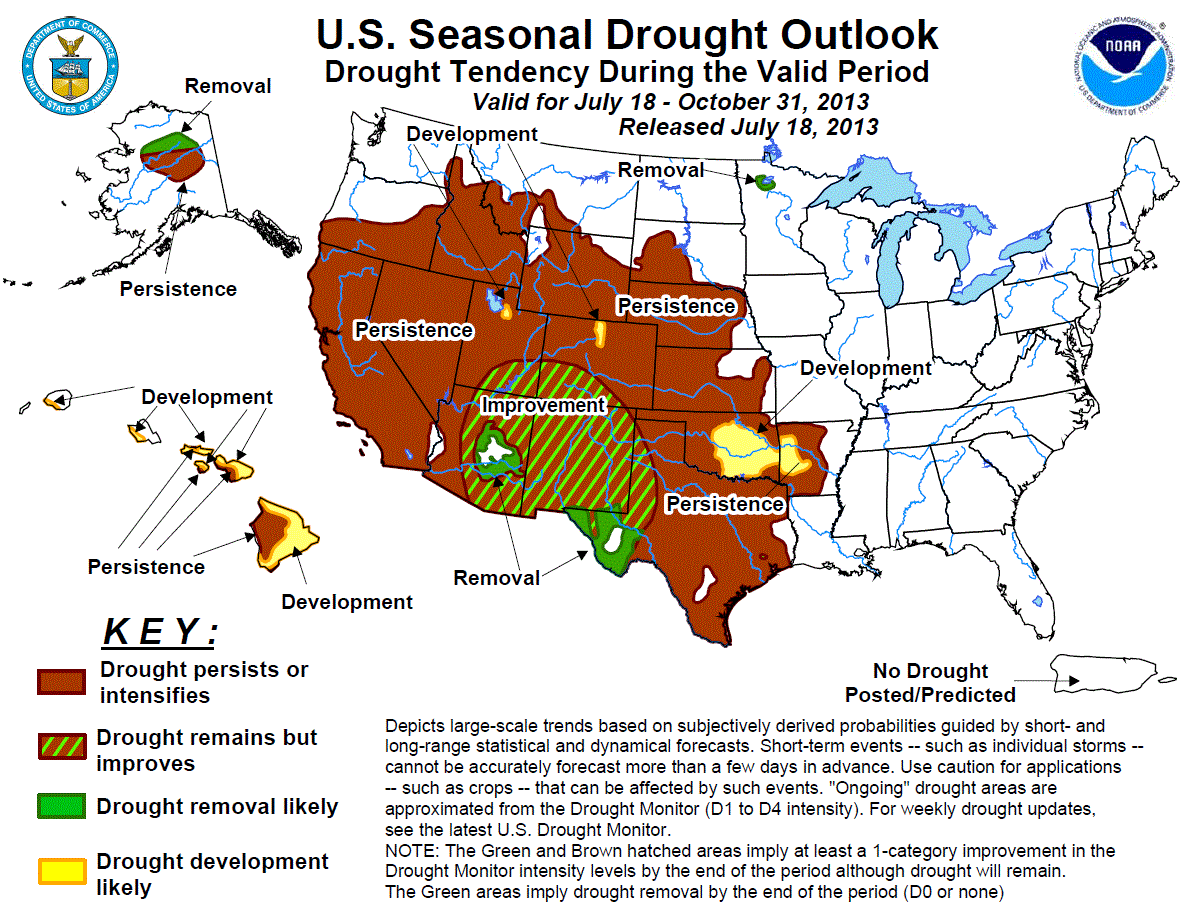
· Seasonal Drought Outlook
· Forecast Palmer Drought Index
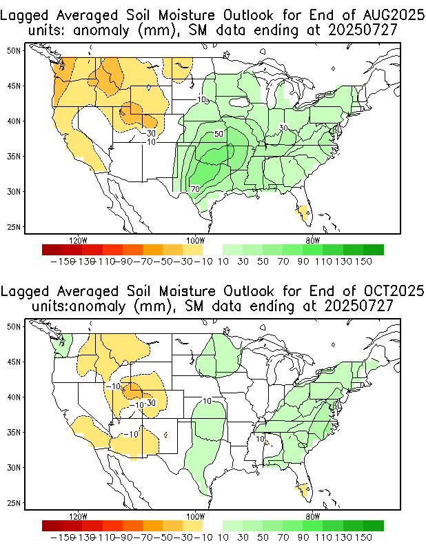
· Soil Moisture Outlook 
· Forecast Streamflow
· Precipitation Needed to End Drought
· NWS Huntsville Drought Info Statement
· NOAA's Drought Information Center