
Record setting heat is expected over the next several days from the Intermountain West through the northern Plains. Furthermore, fire weather concerns increase with dry and breezy conditions. Meanwhile, heavy rainfall and severe thunderstorm threats for the Ohio/Tennessee Valleys, central Appalachians and Southeast today. The threat shifts to central Gulf Coast and across central Texas this week. Read More >
|
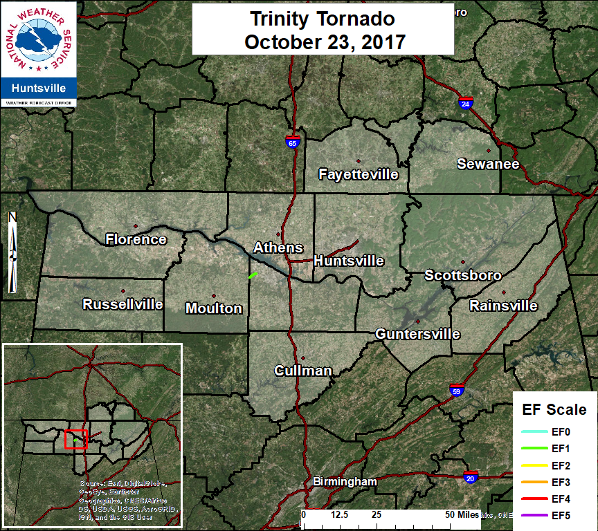
A cold front brought a line of heavy rainfall across the TN Valley during the early morning hours on October 23, 2017. The low level jet intensified as the line of showers moved through the area, producing a high amount of low level wind shear. This caused an isolated tornado to down near the Trinity community in Morgan County, AL around 2:28 am. Interesting to note, there was no lightning observed within the line of showers. |
|||||||||||||||||
 |
|||||||||||||||||
|
Click to the image to view an interactive track map.
|
|||||||||||||||||
|
|
|||||||||||||||||
|


 Local Radar
 Weather Map