
A significant heat wave is underway for the Intermountain West, Northern Plains, and Upper Great Lakes, peaking in intensity through midweek and lingering across parts of the Northern Plains and Midwest until this weekend. In southwest Texas, excessive rainfall may bring a risk for potentially life-threatening flash and arroyo flooding through Thursday. Read More >
Huntsville, AL
Weather Forecast Office
|
Graphical HWO - Activation Necessity
|
|||||
|
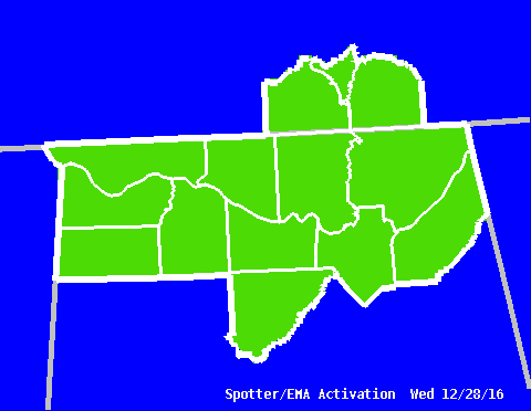
This graphic specifies whether activation of storm spotters and emergency management personnel will be necessary during the period. It is designed to match the last statement in the standard text hazardous weather outlook product. |
|||||
|
|
|||||
|
US Dept of Commerce
National Oceanic and Atmospheric Administration
National Weather Service
Huntsville, AL
320A Sparkman Drive
Huntsville, AL 35805
256-890-8503
Comments? Questions? Please Contact Us.


 Local Radar
 Weather Map