
A weather system in the Pacific Northwest will produce rain throughout the day, before a potent atmospheric river produces a prolonged round of heavy rainfall, widespread urban and river flooding, and high elevation snow to the region Monday through Wednesday. Showers and thunderstorms may produce isolated damaging winds, a brief tornado, and locally heavy rainfall across parts of Florida today. Read More >
|
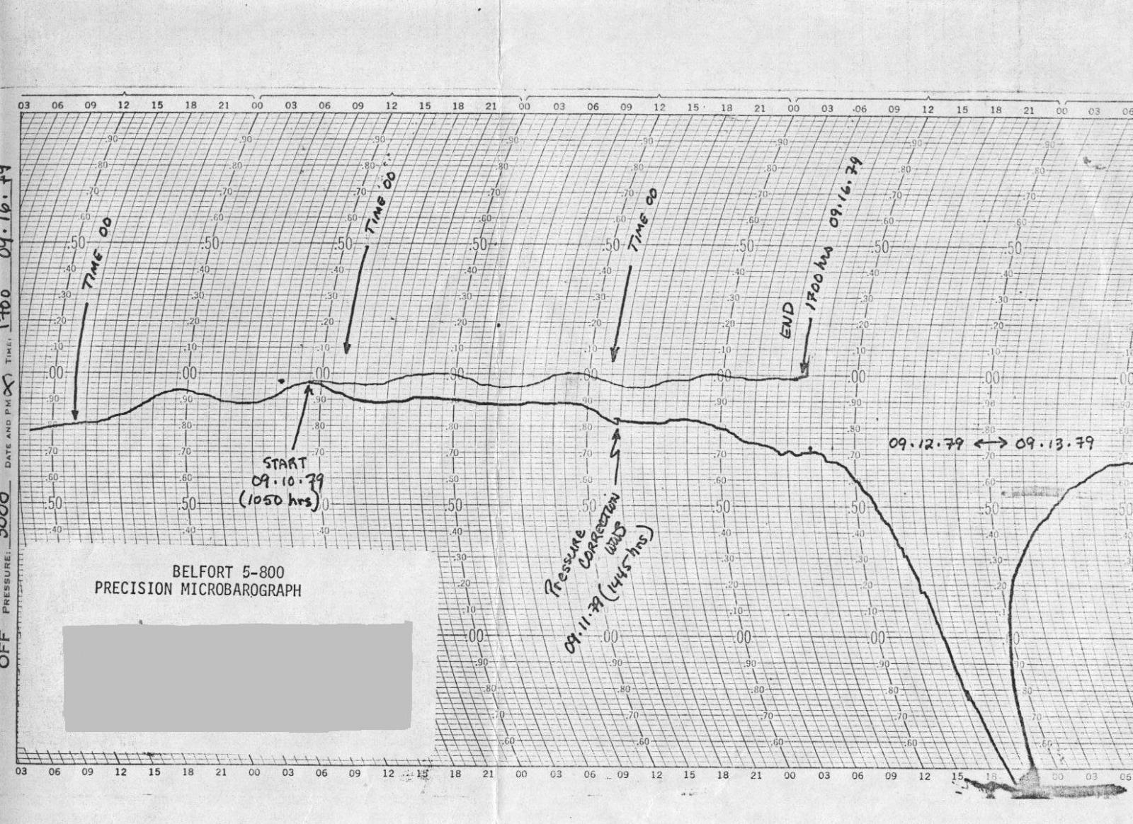
Forming from a tropical wave on the west African coast late on August 27th, there was little to distinguish this storm from any other. But by the morning of August 30th, Frederic gained hurricane strength and began barrelling for the Carribean Sea. Frederic made landfall in Alabama on the evening of September 12th over Dauphin Island, affecting southern Mississippi, southern Alabama, and the western Florida panhandle with the worst conditions (including 8 to 12 inches of rainfall. Wind gusts of 135 mph was measured on the bridge from Dauphin Island. |
||||||
 |
||||||
|
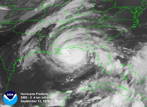
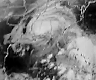
Below are visible satellite images of Hurricane Frederick from NOAA archives. |
||||||
|
||||||
|
Although less significant, portions of northern Alabama also experienced tropical storm force wind gusts and heavy rainfall between 2 to 6 inches of rainfall. 2-4 inches fell along the track all the way to New England, but there were no reported cases of flooding with Frederick anywhere in the United States. |
||||||
 |
||||||


 Local Radar
 Weather Map