
Widespread, life-threatening considerable flash flooding is expected in south-central Texas through at least Friday. Catastrophic river flooding and rapid rises on small streams, arroyos, and typically dry washes are expected in the Texas Hill Country. Wildfire smoke is impacting air quality across much of the Great Lakes region into the Northeast U.S. with Air Quality Alerts in effect. Read More >
|
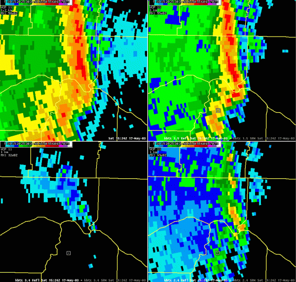
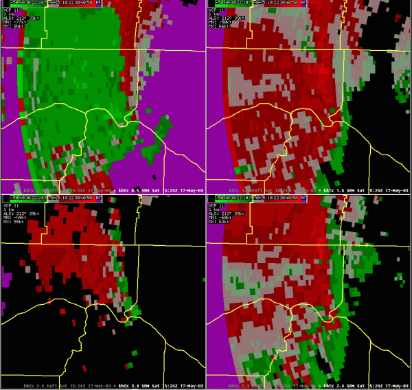
Radar Images |
||||
|
||||
|
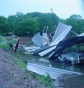
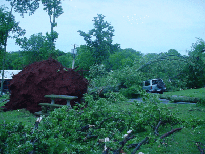
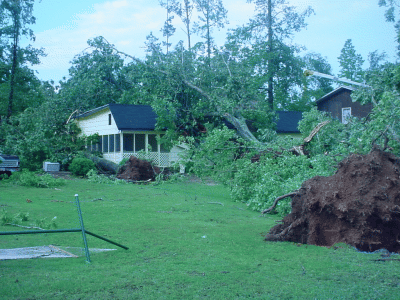
Pictures of Damage |
||||
|
||||
|
Tree and structure damage in Elk River Estates Community in Western Limestone County. |


 Local Radar
 Weather Map