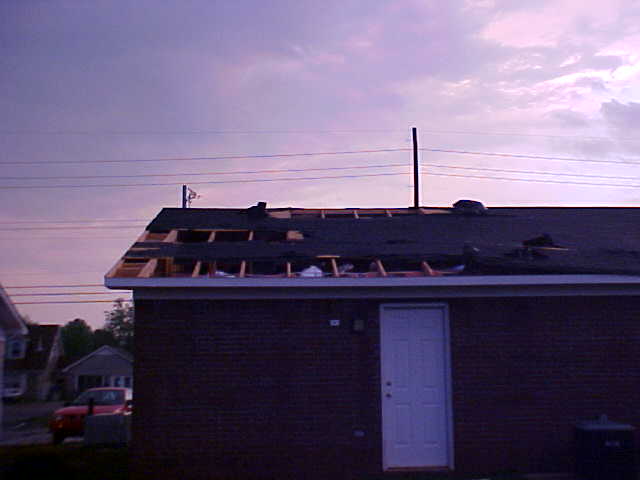
A severe thunderstorm moved into western Madison County around 630 PM CDT on Thursday, April 22, 2004. The storm produced hail up to the size of nickels mainly in a corridor bounded by Highway 72 to the south, Capshaw Rd to the North, and Wall Triana Highway to the east. In additon, there was an isolated are of straight line wind damage near the corner of Capshaw and Wall Triana. Winds were estimated to be around 65 mph which partially removed the roof off a building and wind blown debris blew out several car windows.
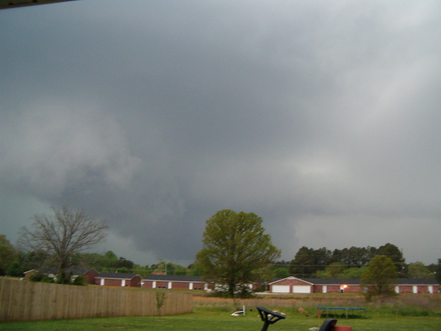
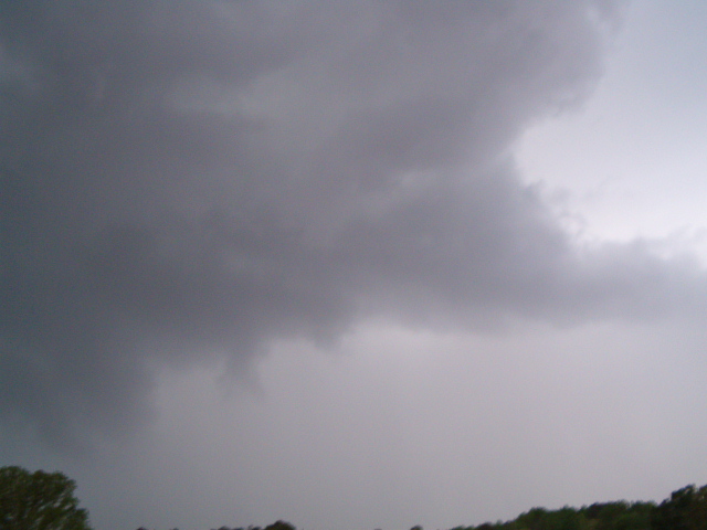
Picture of the storm as it approached Capshaw Rd and Wall Triana Hwy. (Photo Courtesy Amy P. Chavers)
Picture of the storm as it approached Capshaw Rd and Wall Triana Hwy. (Photo Courtesy Amy P. Chavers)
Picture of roof damage near Capshaw Rd and Wall Triana Highway.
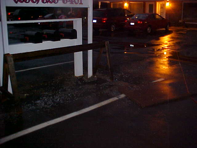
Picture of sign damage along Capshaw Road.
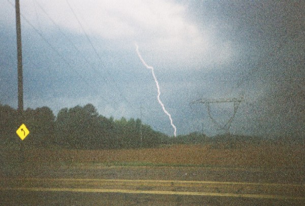
Lightning picture as storm moved across Madison County. Picture taken from near Pulaski Pike and Bob Wade Lane. (Photo Courtesy John Hampton)


 Local Radar
 Weather Map