
An atmospheric river will continue to bring gusty winds, moderate to heavy rainfall, and potential flooding to southern California and the southern Great Basin through Sunday. Periods of heavy snow will continue as well above 7,000 feet over the Sierra Nevada mountains associated with this atmospheric river. Read More >
|
Storm Photos |
|
 |
 |
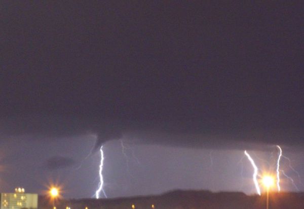
| Image of a funnel cloud taking from the AmSouth parking garage in downtown Huntsville looking toward Meridianville (Photo courtesy of Donna Butcher and WHNT). | Lightning illustrates a tail cloud of a storm as it passes north of Athens. (Photo courtesy Kasey Brown.) |
 |
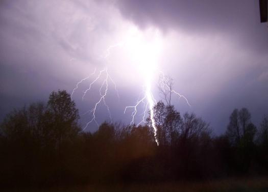 |
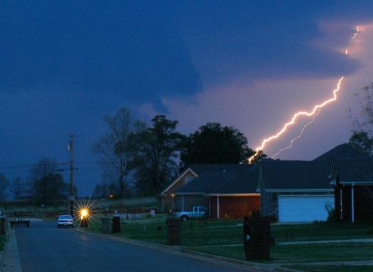
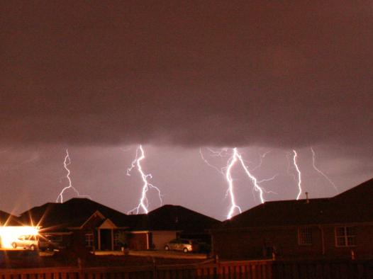
| Another vivid lightning photograph, this time from Hazel Green. (Photo courtesy Edwin Dunning.) | Some of the most incredible lightning pictures we've seen have come from the April 7 outbreak. This lightning bolt came from a supercell that passed near Phil Campbell. (Photo courtesy Josh T.) |
 |
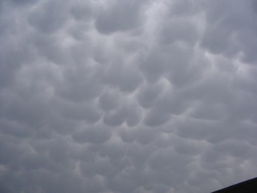 |
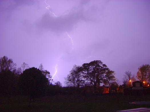
| More incredible lightning photography, this fime from Madison. (Photo courtesy Bryan Shirkey.) | Mammatus from a nearby supercell passes near Madison. (Photo courtesy Jason Burks.) |
 |
|
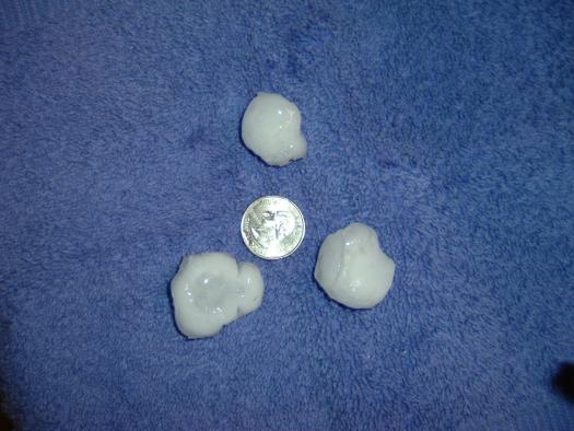
| Numerous reports of large hail came in from all across the Tennessee Valley. This quarter to golf-ball size hail fell in southeast Huntsville. (Photo courtesy Rick Mullin.) | |


 Local Radar
 Weather Map