PUBLIC INFORMATION STATEMENT
NATIONAL WEATHER SERVICE HUNTSVILLE AL
416 PM CST Tue Dec 17 2019

...NWS Damage Survey For 12/16/2019 Tornado Event...

.Overview...EF-2 Tornado confirmed in Northern Lawrence County

.Town Creek Tornado...

Rating:                 EF2
Estimated Peak Wind:    134 mph
Path Length /statute/:  7.91 miles
Path Width /maximum/:   370.0 yards
Fatalities:             2
Injuries:               3

Start Date:             12/16/2019
Start Time:             05:08 PM CST
Start Location:         2 S Town Creek / Lawrence County / AL
Start Lat/Lon:          34.6445 / -87.4126

End Date:               12/16/2019
End Time:               05:23 PM CST
End Location:           2 NNE North Courtland / Lawrence County /
AL
End Lat/Lon:            34.6965 / -87.2897

Summary:
NWS, Lawrence County EMA, and an Auburn University Structural
Engineering survey team determined the damage in Northern Lawrence
County was attributed to a strong EF-2 tornado.

Damage was first observed along CR 101 north of CR
143. Large-limb tree damage was the primary damage indicator
observed in this area, with estimated winds of 107 mph close to
touchdown.

As observed on radar, the circulation of the tornado tightened
east of CR 101 and intensified significantly as it approached
CR 265. CR 265, approximately 1 mile south of Highway 20,
observed major damage to three structures. Structure damage
indicators were a combination of single wide and double wide
manufactured homes. It should be noted that one of the structures
listed as a double wide was a prefabricated home with no anchor
system. The traditional double wide manufactured home included an
auger anchor system while the single wide home had a pan anchor
system.  Regardless of the anchor, each system failed due to
intense lifting force, which led to the structure to roll off its plot,
causing total destruction. Two fatalities and an injury were reported
at the double wide home, with additional injuries at the other destroyed
structures.

Thanks to preliminary footage from Alabama EMA drone team, the tornado was
observed to take a slight right turn and continue toward the Courtland area.
Along and south of Highway 20 in Courtland, uprooted and large snapped tree
branches were the main damage indicators. A small mobile home was
slightly shifted off its plot, denoting mid-range EF-0 winds. The path
continued east-northeast and crossed Highway 72, causing more tree damage on
CR 150. Along CR 150, south of CR 400, the strongest damage indicator was a small
and well-built block outbuilding. This structure was mostly destroyed, except for
a back wall.

The tornado continued to weaken as it approached and crossed CR 389. Large
tree branches were downed and minor roof damage was observed at three
residences. Minor tree damage continued toward the river where the tornado
likely lifted.

EF Scale: The Enhanced Fujita Scale classifies tornadoes into
the following categories.

EF0...Weak......65 TO 85 mph
EF1...Weak......86 TO 110 mph
EF2...Strong....111 TO 135 mph
EF3...Strong....136 TO 165 mph
EF4...Violent...166 TO 200mph
EF5...Violent...>200mph

NOTE:
The information in this statement is preliminary and subject to
change pending final review of the event and publication in
NWS Storm Data.

$$
|



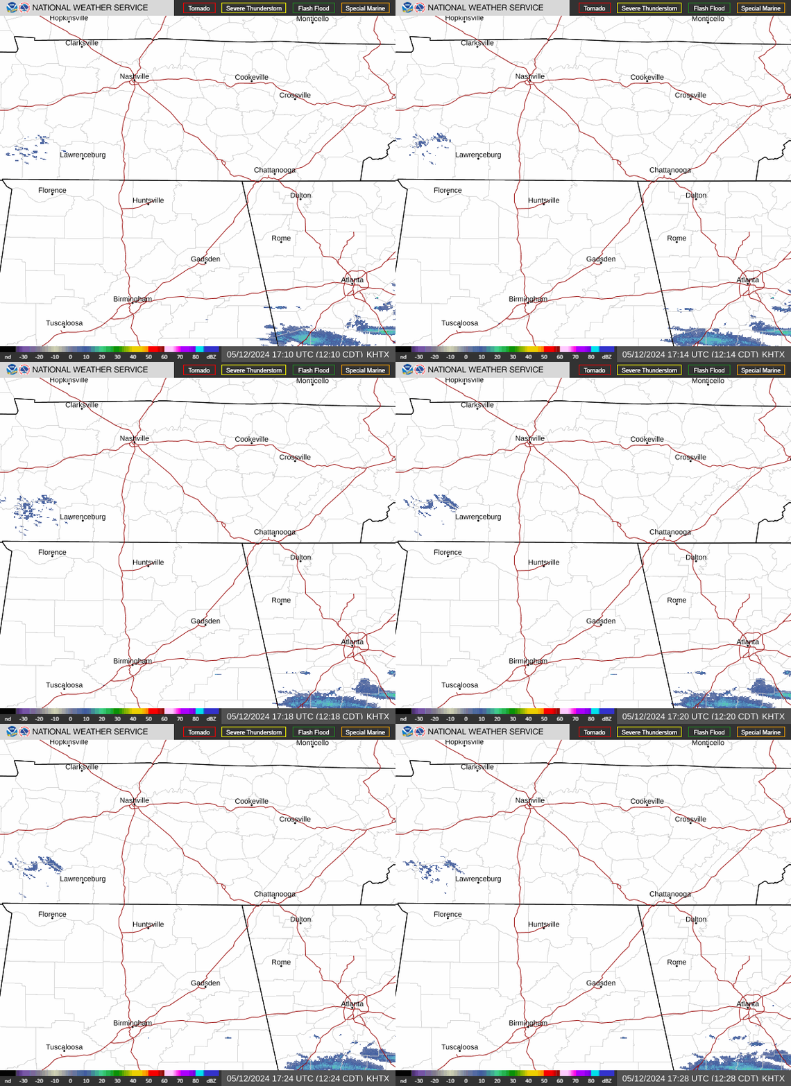 Local Radar
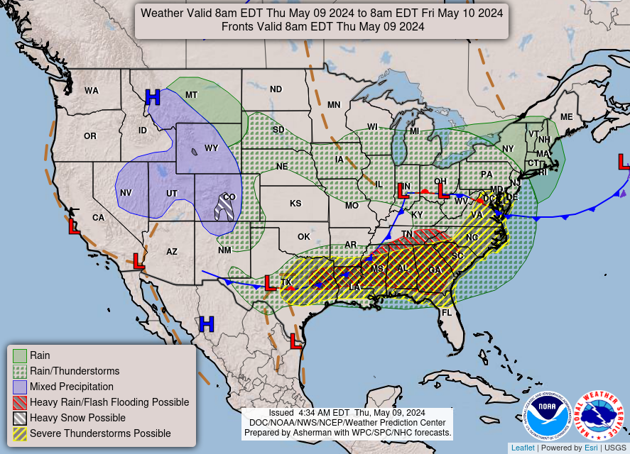 Weather Map
 NWS Huntsville SitRep
 Follow us on X
 Follow us on Facebook
 Follow us on YouTube
 HUN RSS Feed