|
Lawrence County, AL Damage Pictures on the Ground
|
|||
 |
 |
||
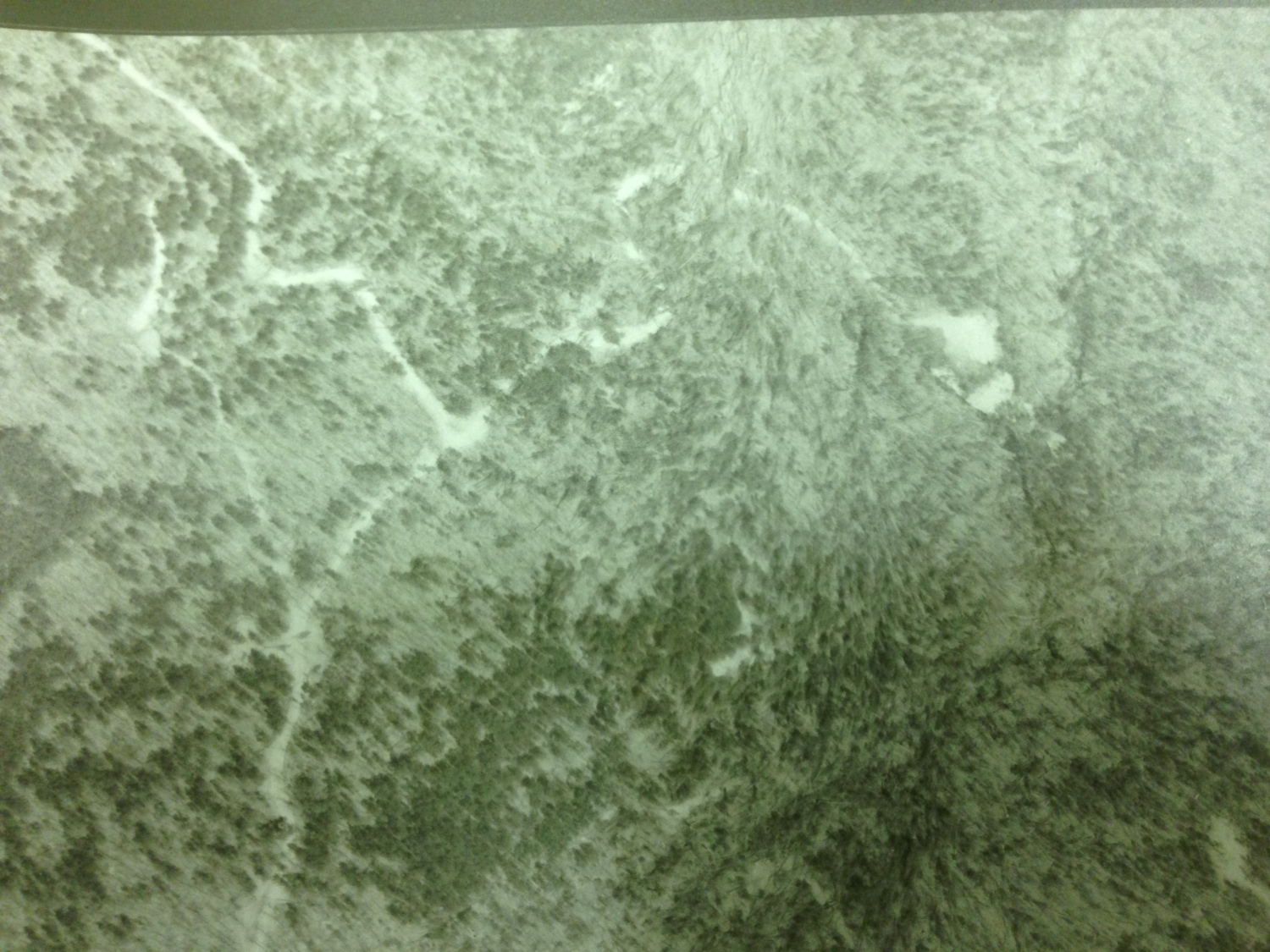
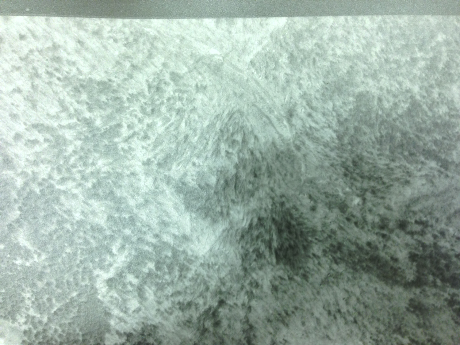
| Some aerial pictures of damage in the Bankhead Forest area.(Courtesy of Lawrence County archives) | Some aerial pictures of damage in the Bankhead Forest (Courtesy of Lawrence County archives) |
||
 |
|
||
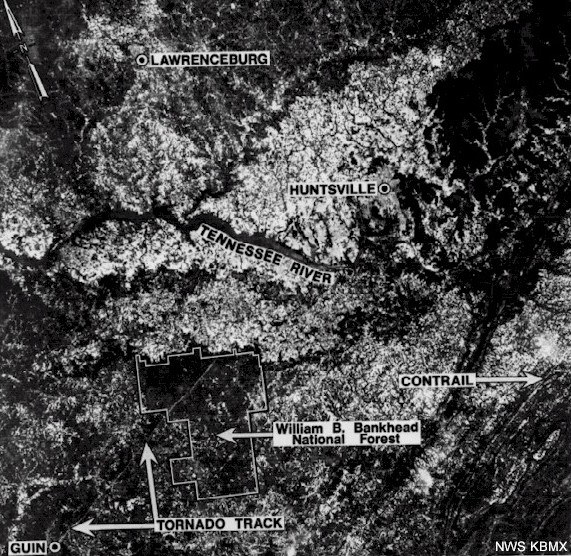
| NASA ERTS-1 (Earth Resources Technology Satellite) Image. You can actually see the tornado tracks in this satellite imagery which are indicated by the arrows. |
|
||


 Local Radar
 Weather Map