National Weather Service United States Department of Commerce

Snow in the Rockies; Showers and Thunderstorms Along the Gulf Coast; Potential Winter Storm for Northern Mid-Atlantic and Interior New England

A winter-like pattern will continue over much of the Lower 48 over the next few days, with snow stretching from the Rockies today into the Middle Mississippi Valley on Monday. Showers and thunderstorms will develop along the Gulf Coast and Southeast on Monday. As the storm moves northward late Monday into Tuesday, winter weather is possible from the Central Appalachians to Interior New England. Read More >

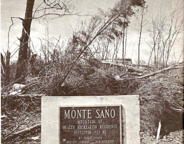
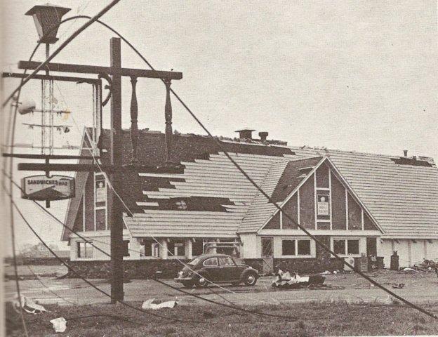
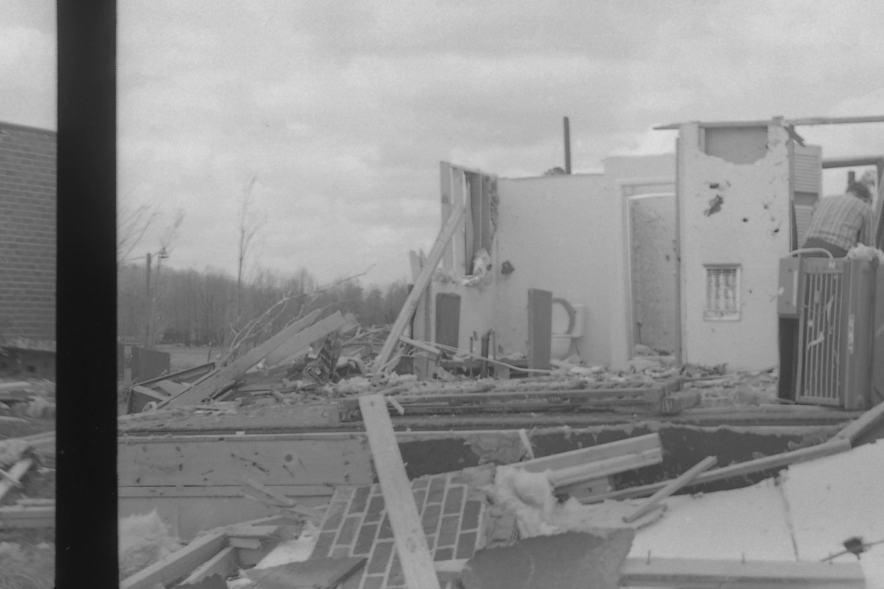
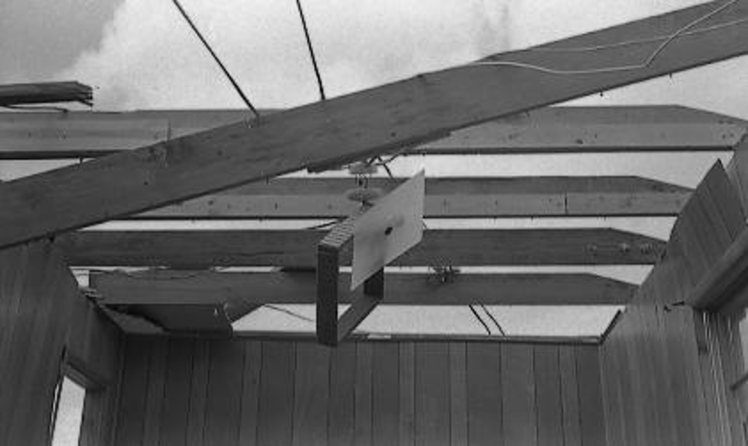
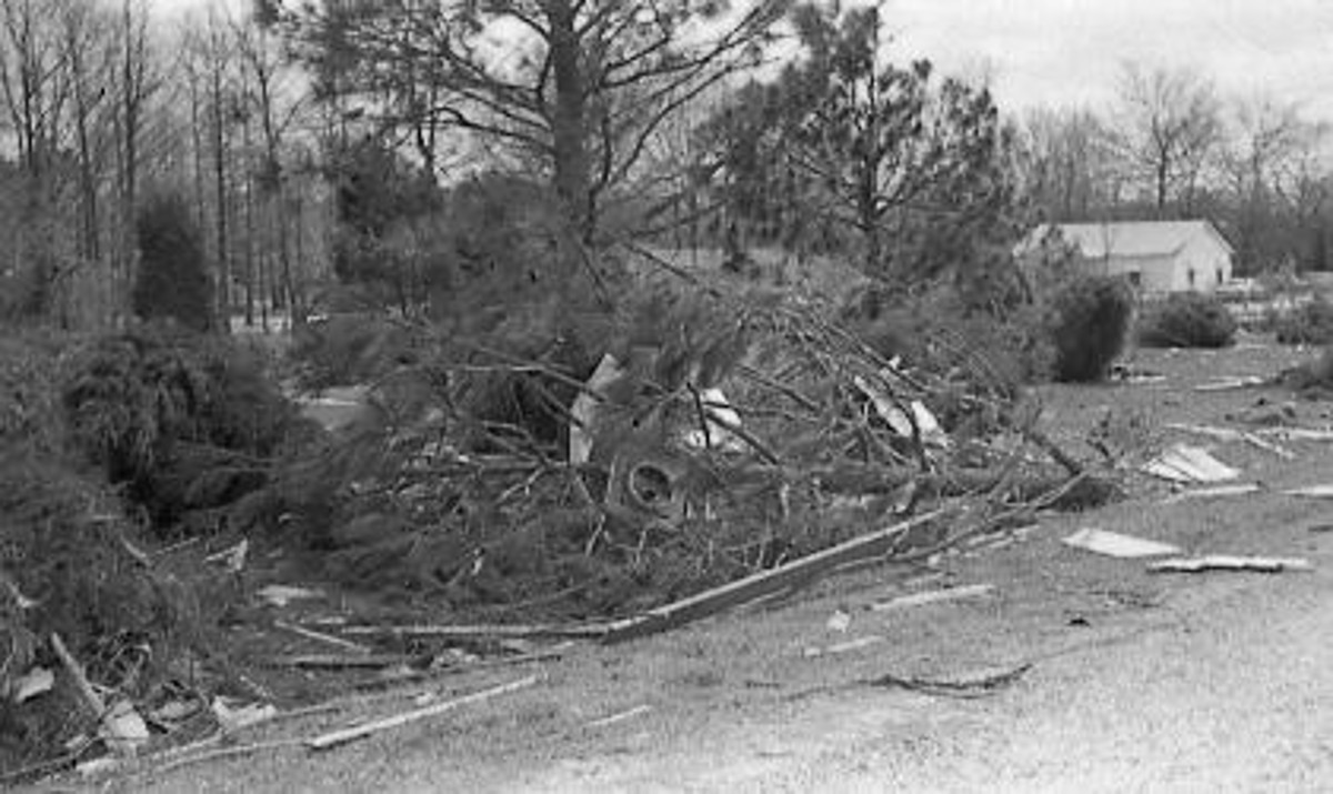
This is a picture of damage near the intersection of Drake Avenue and Memorial Parkway in Huntsville, AL. (Courtesy of Madison EMA) Another picture of damage near the intersection of Drake Ave. and Memorial Pkwy. in Huntsville, AL. (Courtesy of Madison EMA) This is a picture of Monte Sano mountain in Huntsville, AL.  (Courtesy of Madison EMA)
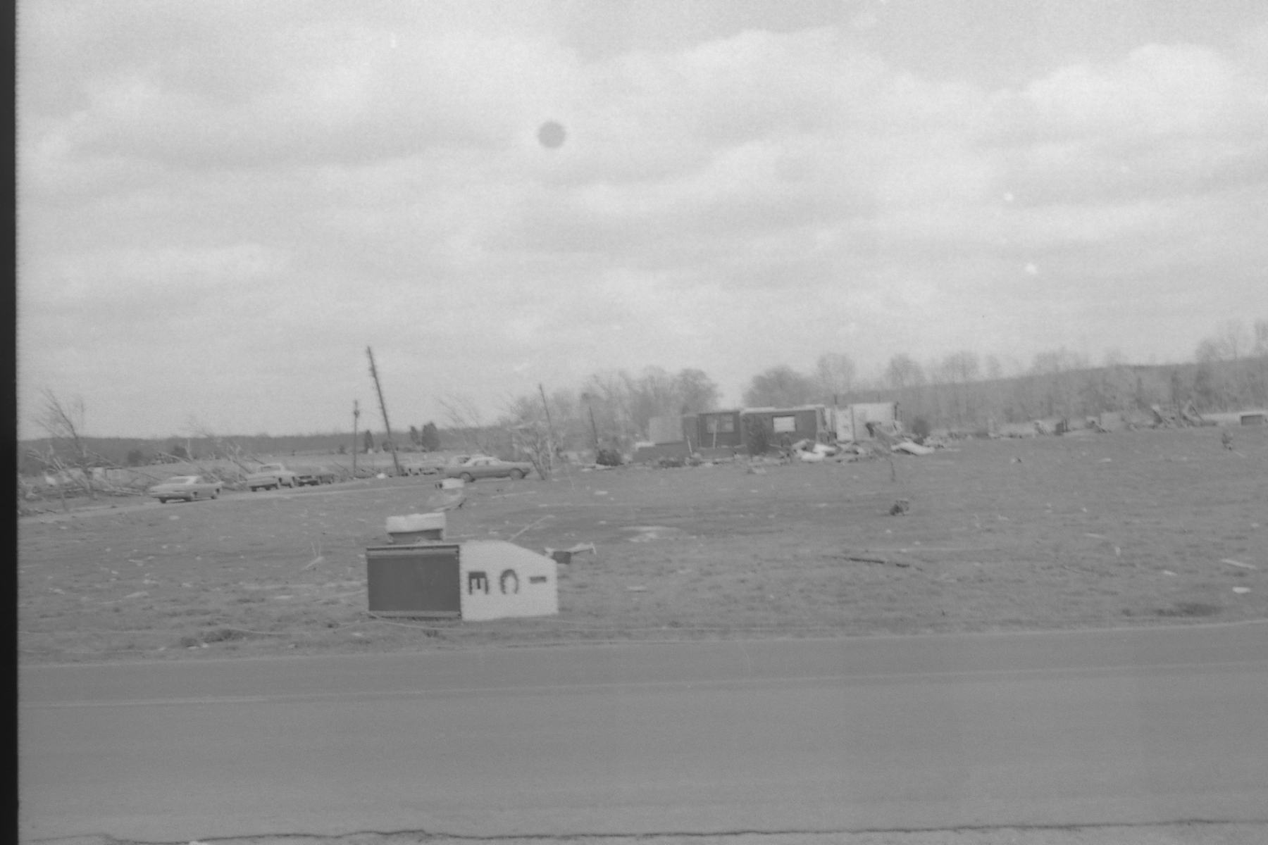
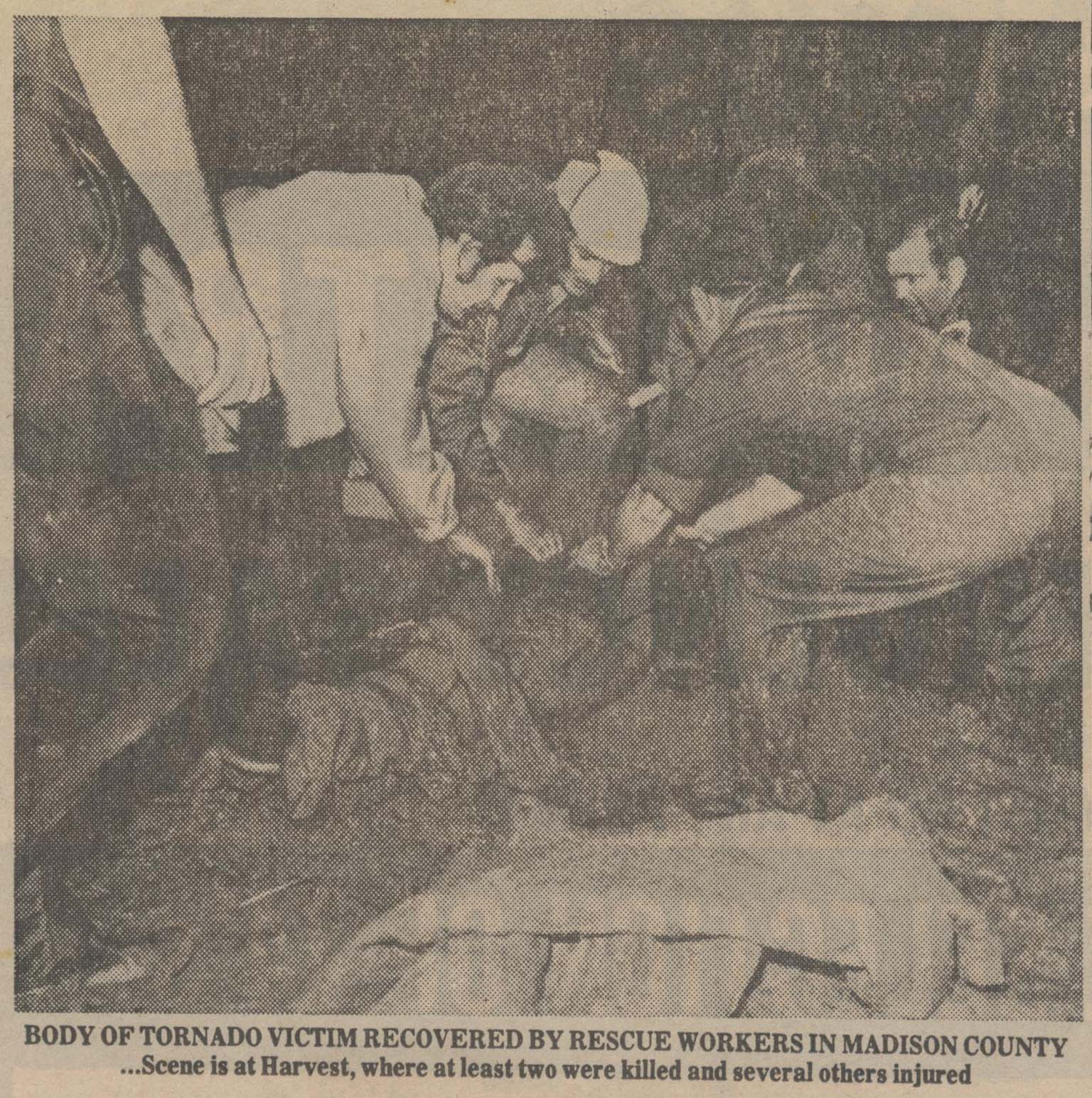
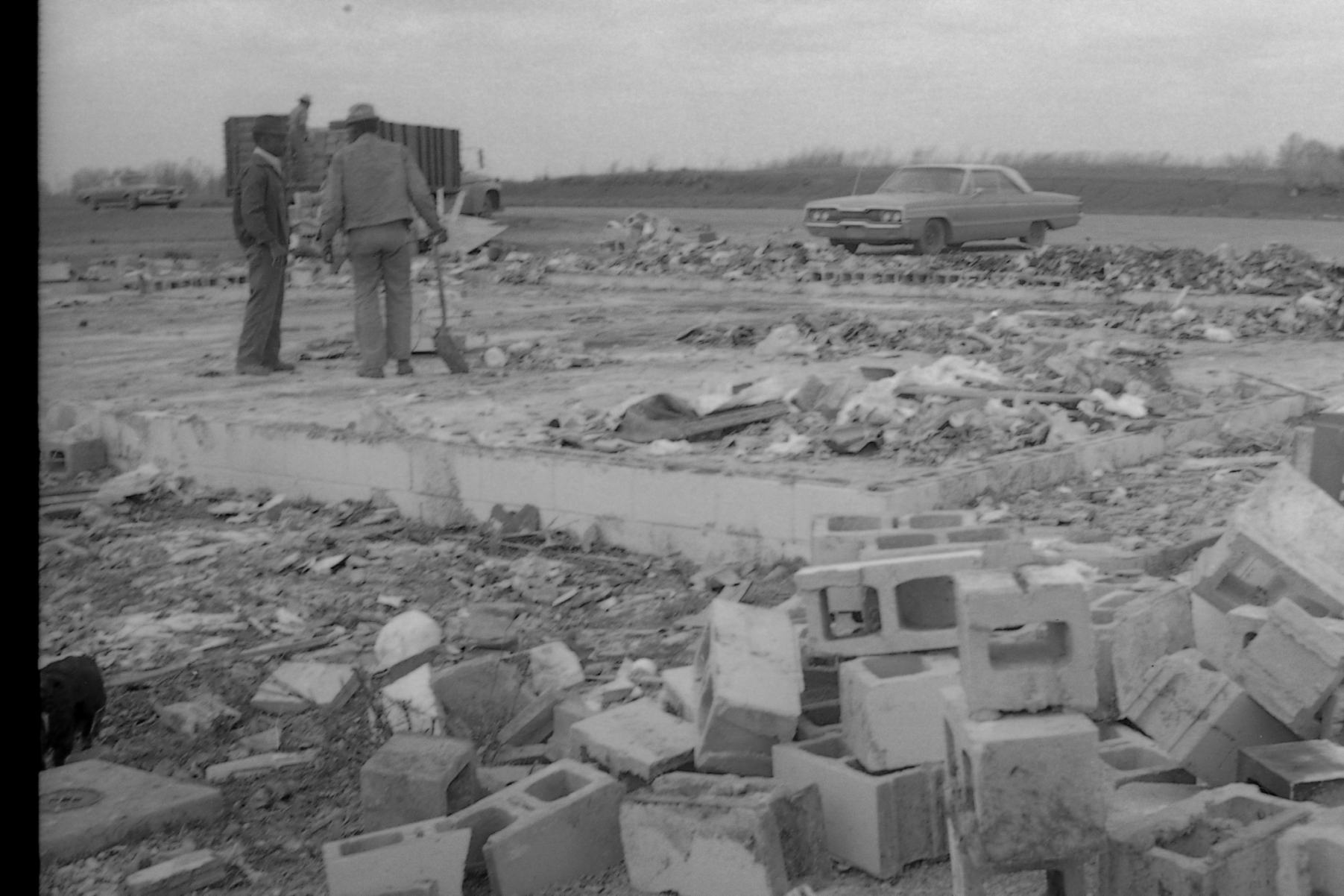
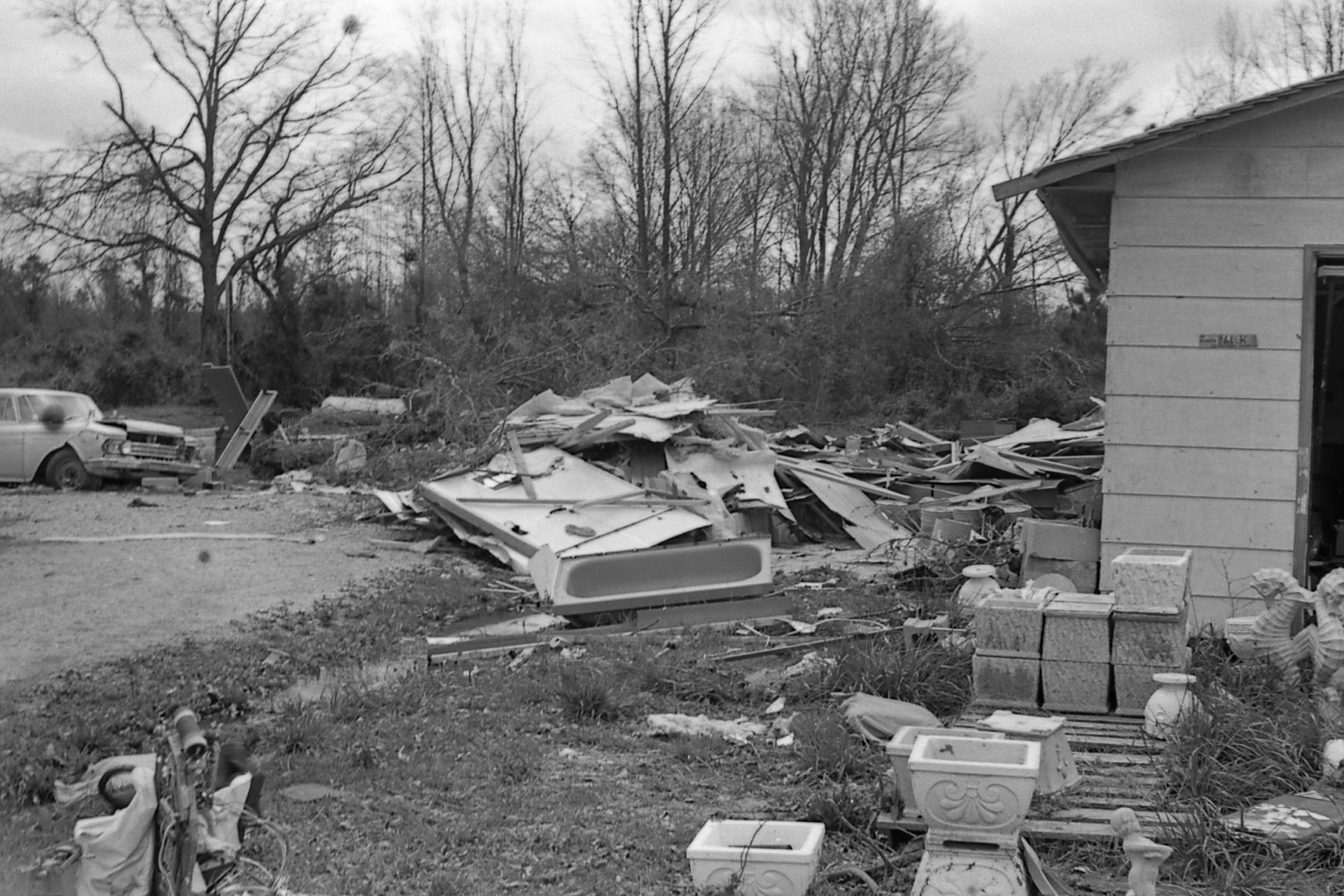
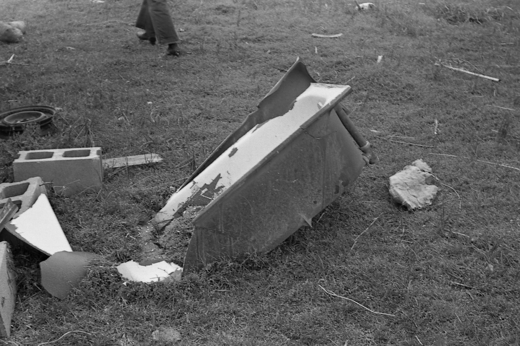
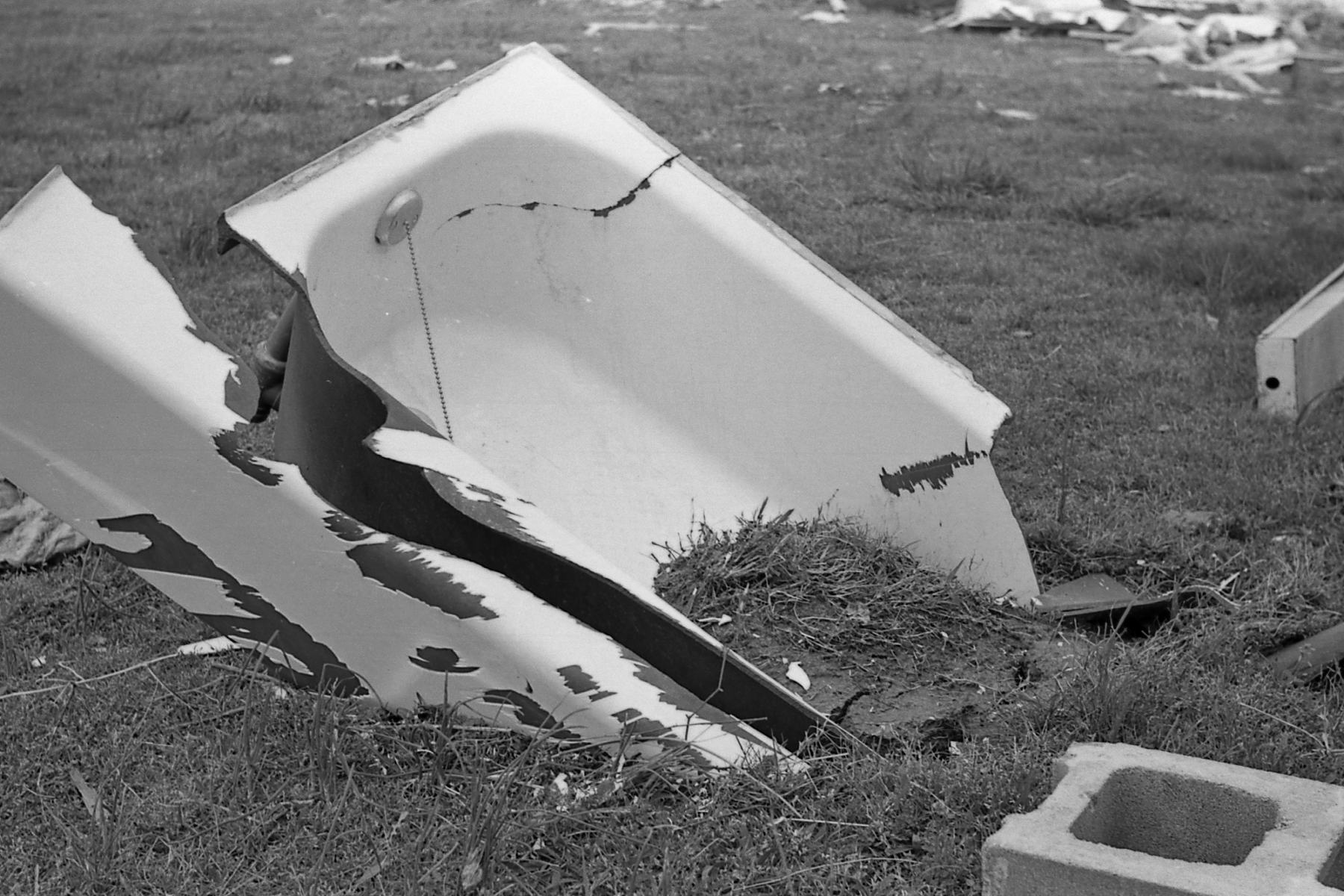
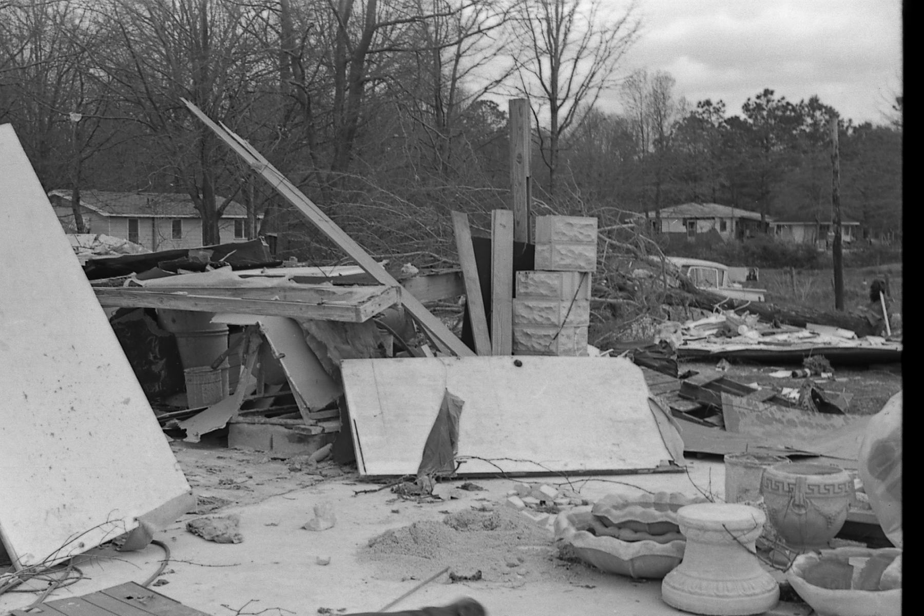
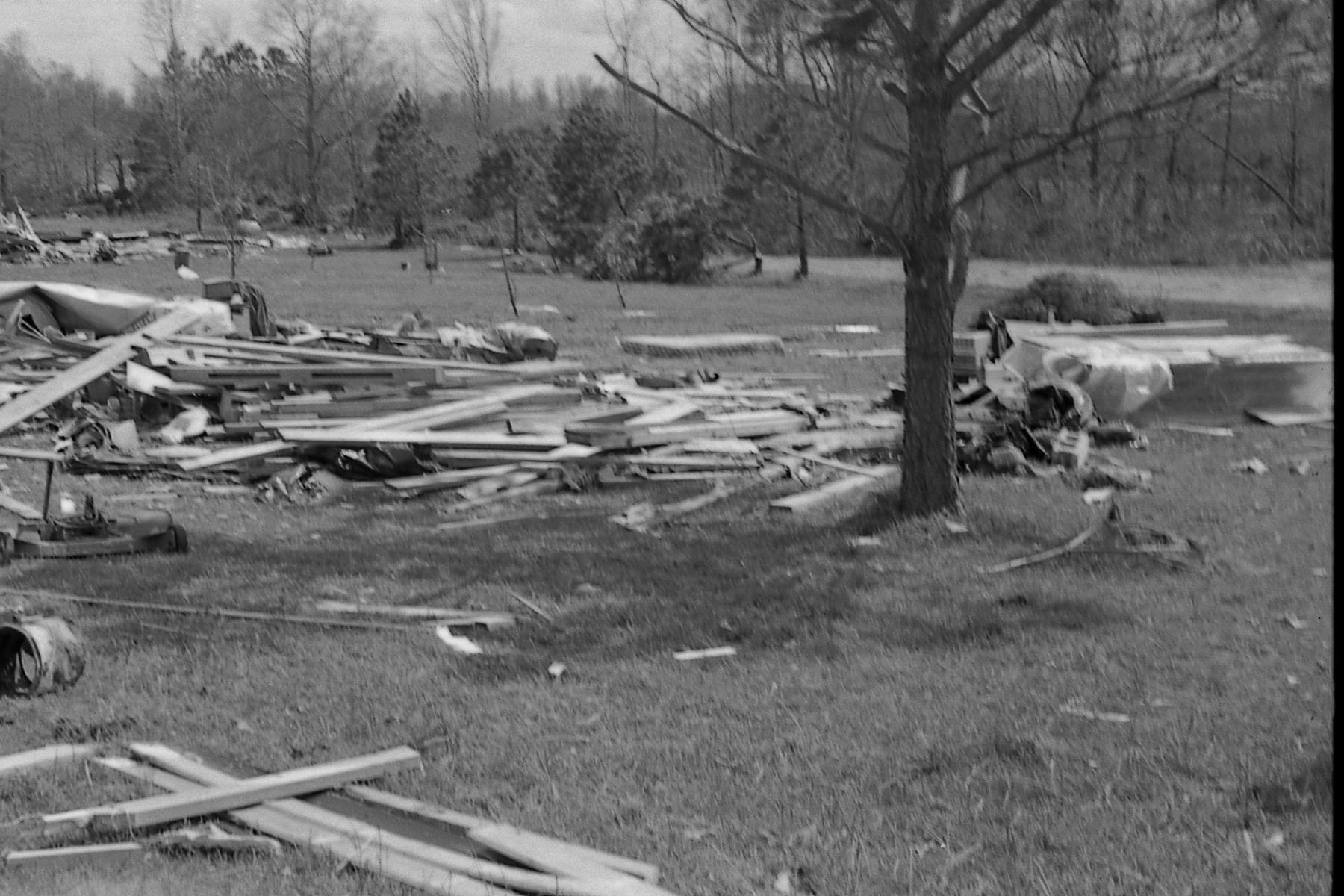
This is a picture from the newspaper of rescue efforts in the Harvest, AL area. (Courtesy of Madison EMA) Only a foundation is left of this home in the Harvest area.  (Courtesy of Madison EMA)
More severe damage to homes in this picture in the Harvest area.  (Courtesy of Madison EMA)
Only a fell walls left standing at this home in Harvest.  (Courtesy of Madison EMA)
Significant structural damage seen at this location. (Courtesy of Madison EMA
A bathtub was impaled several inches into the ground at this spot in Harvest. (Courtesy of Madison EMA)
Another vantage point of the impaled bathtub. (Courtesy of Madison EMA
Only the floor was left of this home in Harvest. (Courtesy of Madison EMA)
Significant debris and snapped or uprooted trees in the background of this picture in the Harvest area.(Courtesy of Madison EMA
More debris and tree damage. (Courtesy of Madison EMA)
This home lost its roof in Harvest. (Courtesy of Madison EMA)
Tree damage in the Harvest area. (Courtesy of Madison EMA)
 
Although a bit fuzzy, the power flash highlights what is likely the SE Huntsville F3 tornado. (Courtesy of Madison County EMA)
Another shot of a power flash highlights what is likely the SE Huntsville F3 tornado.(Courtesy Madison County EMA)