
A significant heat wave continues for the Rockies, Northern Plains, and Great Lakes into the Mid-Atlantic, peaking in intensity through midweek and lingering across parts of the Northern Plains and Midwest until this weekend. Excessive rainfall my bring life-threatening and locally catastrophic flash and urban flooding across portions of southwestern Texas through early Friday. Read More >
 |
||||||||||||||||||||||||||||||||||||||||||||||||||||||||||||||||||||||||||||||
|
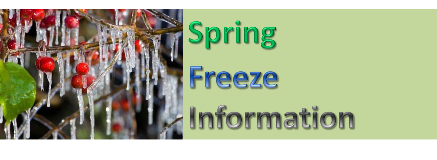
Spring freeze information for the Tennessee Valley. |
||||||||||||||||||||||||||||||||||||||||||||||||||||||||||||||||||||||||||||||
|
Once the Frost and Freeze Program has begun for the Huntsville County Warning and Forecast Area, a Frost Advisory will be issued when temperatures between 33-36 F are expected (along with light winds, clear skies and low dewpoint depressions), resulting in widespread (80% areal coverage) of frost. A Freeze Watch will be issued when temperatures in at least 50% of a county are expected to reach 32 F or lower (for any duration) in the 12-48 hour period of the forecast. A Freeze Warning will be issued when temperatures in at least 50% of a county are expected to reach 32 F or lower (for any duration) in the first or second period of the forecast. NWS Huntsville does not issue Hard Freeze Watches/Warnings. Below is a table of average last dates for freezing temperatures during the spring here in the central Tennessee Valley. A freeze is defined by temperatures at or below 32ºF, while a hard freeze is defined by temperatures at or below 28ºF. The earliest last freeze and latest freezes on record are also included for each site. |
||||||||||||||||||||||||||||||||||||||||||||||||||||||||||||||||||||||||||||||
|
|
||||||||||||||||||||||||||||||||||||||||||||||||||||||||||||||||||||||||||||||
|
Please note that small gaps exist in the data and some years contain incomplete information. Where gaps were considerably large, the break in the period of record was noted, as in the case for Guntersville. Freezing temperature records were included in the statistics for years that only contained a complete or nearly complete dataset during the spring freeze period. If you have any questions or comments about the spring freeze information, please send an email to the NWS Huntsville webmaster account at sr-hun.webmaster@noaa.gov.
|


 Local Radar
 Weather Map