Huntsville, AL
Weather Forecast Office
ZCZC MKCWWAMKC ALL 190200;341,0883 363,0870 363,0850 341,0863;
WWUS8 KMKC 182350
MKC WW-A 182350

STATUS REPORT ON WW NUMBER 443

THE THREAT OF SEVERE WEATHER CONTINUES SE OF A LN FM 40 W BNA TO 25
SW BWG.

NMRS TORNADOES HAVE BEEN RPTD ACRS THIS RGN DURG THE PAST SVRL HRS.
THE FIRE DEPT IN NORMANDY TN /45 SSE BNA/ WAS DSTRYD JUST BFR 2330Z
AND THIS TORNADO WAS RPTD IN ERN COFFEE CNTY MOVG INTO WARREN CNTY
AT 2335Z. MDL HODOGRAPHS INDC STG STM REL HELICITY NR 400 M2/S2
WITH A STM MVMT OF 260/40. LN OF SVR TSTMS ARE ALG/JUST AHD OF FNTL
BNDRY MOVG ENEWD ACRS WRN PTNS OF WW.

CONT VALID PTNS OF WW.

..MCCARTHY.. 05/18/95
US Dept of Commerce
National Oceanic and Atmospheric Administration
National Weather Service
Huntsville, AL
320A Sparkman Drive
Huntsville, AL 35805
256-890-8503
Comments? Questions? Please Contact Us.


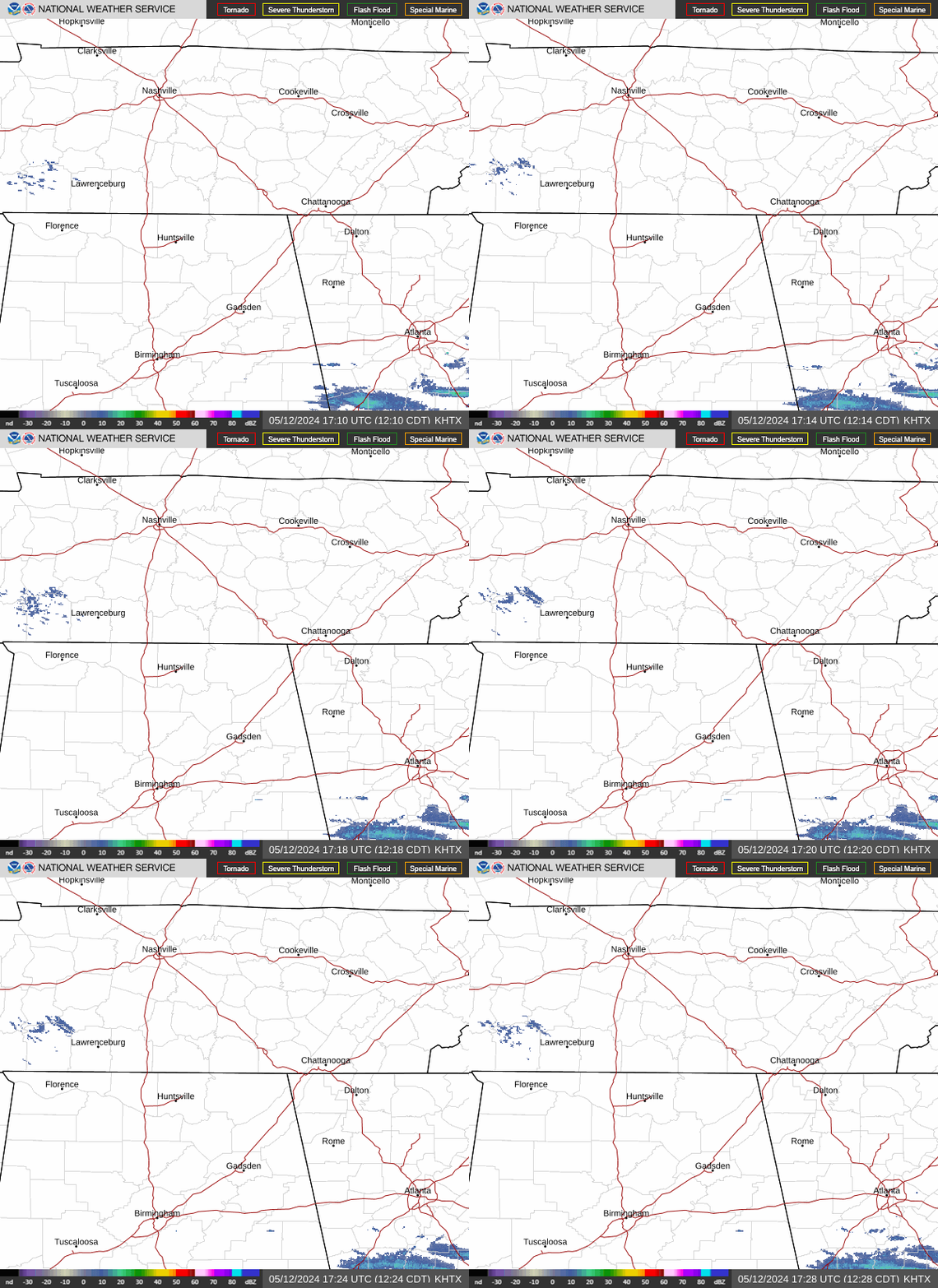
 Local Radar
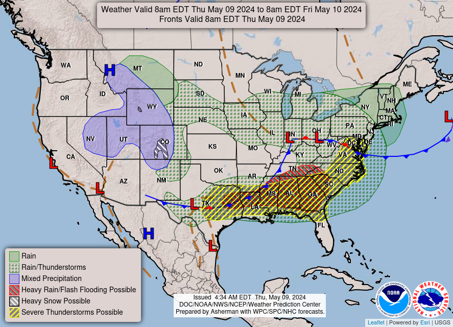
 Weather Map