|
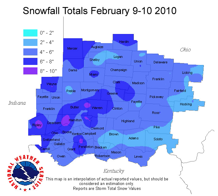
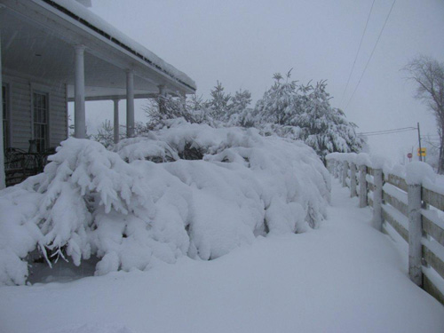
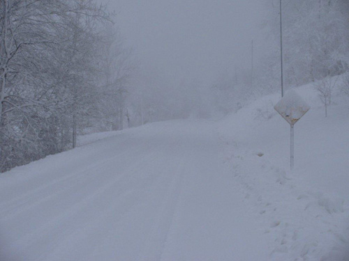
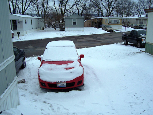
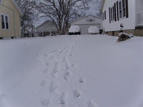
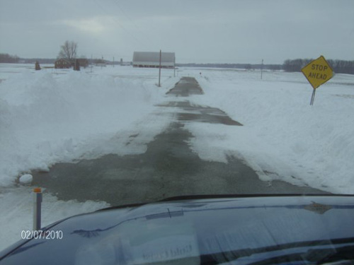
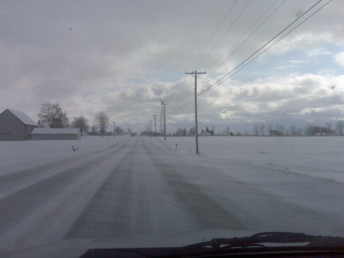
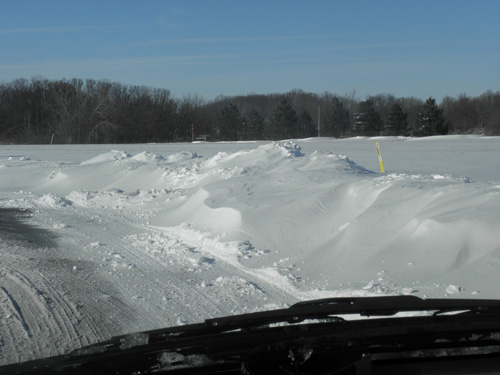
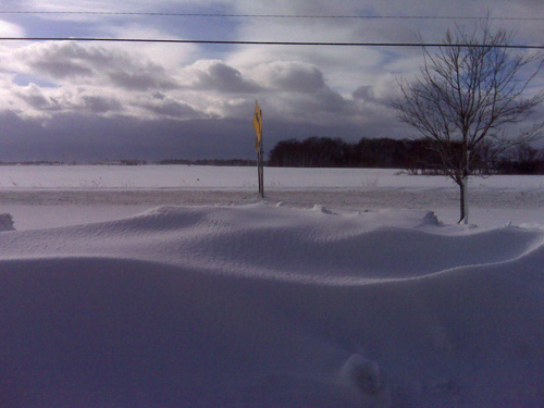
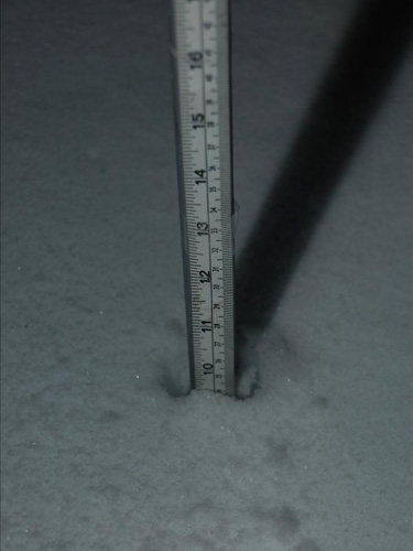
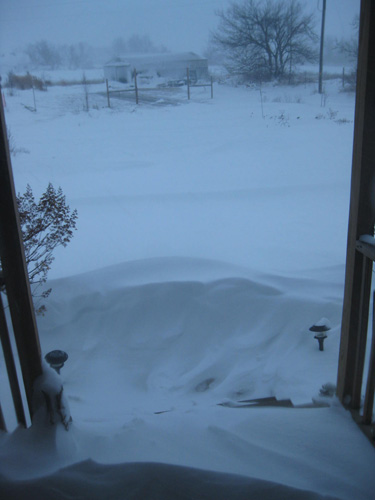
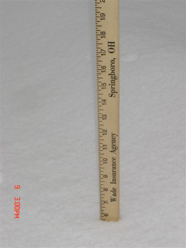
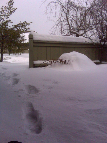
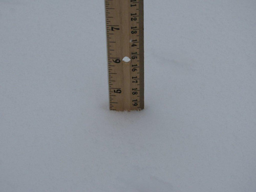
Winter Storm A series of winter storms impacted much of the Ohio Valley and the Mid Atlantic in early February. The first of these storms struck on February 5 and 6, as a complex low pressure system moved from the Gulf coast to the mid-Atlantic region. While the primary area of low pressure impacted the Washington DC area, a secondary area of low pressure and upper level trough brought significant snow accumulations to portions of the Ohio Valley. The heaviest snows impacted areas near and north of the Interstate 70 corridor, where totals in the 12-14 inch range were relatively common. Further south, snow mixed with rain at times during the day on Friday, leading to lower final accumulations of snowfall. Locations in the Cincinnati metropolitan area received 4-8 inches of snow, with 2-4 inches of snow along and south of the Ohio River. On February 9, another area of low pressure tracked up the I-71 corridor from near Louisville to Cleveland. While such low tracks usually produce rain across the Ohio Valley, plenty of cold air remained behind the previous storm system, allowing for most of the precipitation to fall as snow. Snowfall across most of the area ranged between 4 and 7 inches with this system. Snowfall amounts were slightly less across southern and central Ohio and northern Kentucky, where rain and sleet mixed in at times.
|
||||||||||||||||||||||||||||||||||||||||||