Wilmington, OH
Weather Forecast Office
|
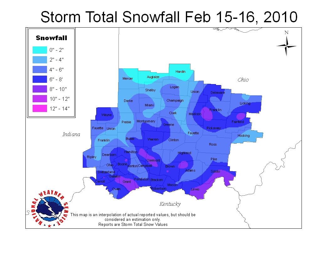
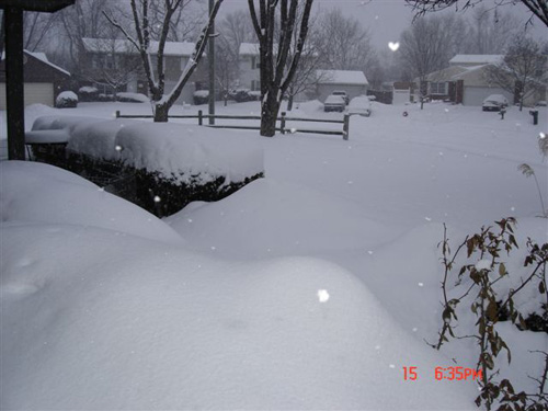
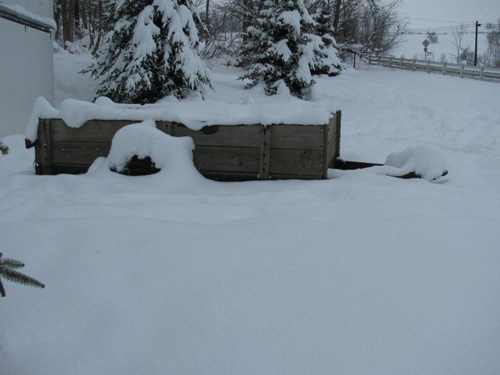
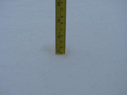
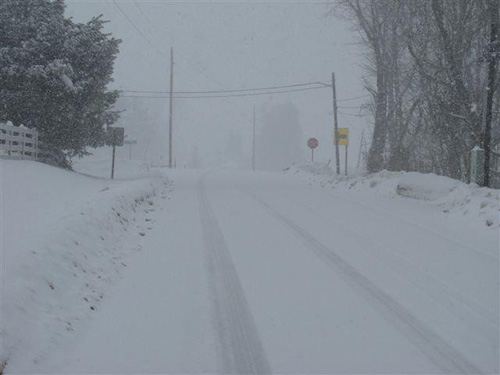
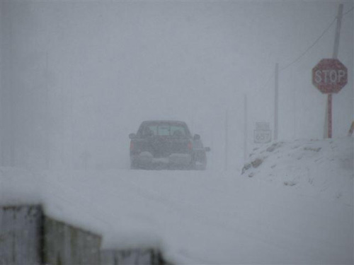
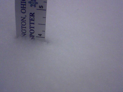
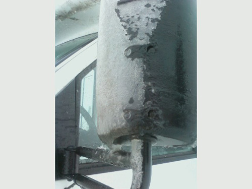
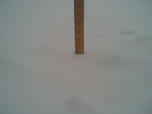
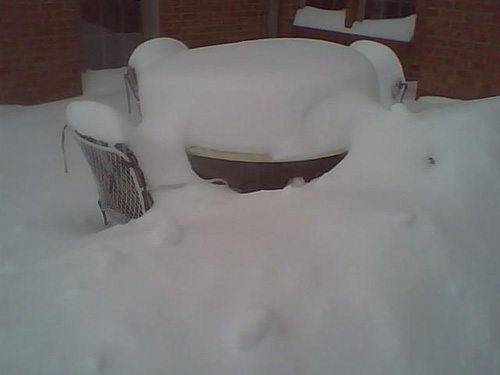
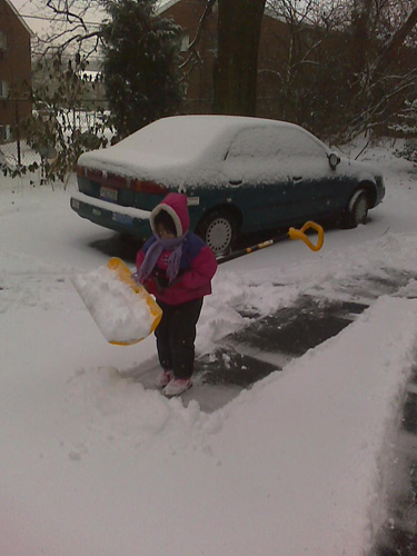
President's Day Snowstorm February 2010's third major winter storm produced widespread snowfall amounts of 6 to 11 inches across areas generally near and south of the I-70 corridor, with lesser amounts further south. With the snows from this system, many parts of the Ohio Valley received record or near-record snowfall amounts for the month of February -- with half of the month still to go! Below are the top five snowiest Februaries for Dayton, Cincinnati and Columbus, through the end of February:
TOP 5 SNOWIEST FEBRUARYS CINCINNATI 1. 26.1"....2010 2. 21.4"....1914 3. 20.6"....1910 4. 19.9"....1993 5. 18.5"....1998 DAYTON 1. 31.6"....1910 2. 23.0"....2010 3. 21.2"....2003 4. 17.5"....1979 5. 16.7"....1914 COLUMBUS 1. 30.1"....2010 2. 29.2"....1910 3. 24.4"....2003 4. 19.6"....1914 5. 16.4"....1979
|
||||||||||||||||||
FORECASTS
Hourly Weather Graph
Graphical Forecast
Area Forecast Graphics
Area Forecast Discussion
River Forecasts and Obs
WEATHER HISTORY
Past Observed Weather
Local Climate Graphs
Local Event Summaries
OH / ILN Tornado Climatology
This Day in Weather History
NATIONAL CENTERS
Storm Prediction Center
National Hurricane Center
Weather Prediction Center
Aviation Weather Center
Climate Prediction Center
NCEI
US Dept of Commerce
National Oceanic and Atmospheric Administration
National Weather Service
Wilmington, OH
1901 South State Route 134
Wilmington, OH 45177
937-383-0031
Comments? Questions? Please Contact Us.