Wilmington, OH
Weather Forecast Office
|
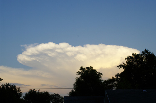
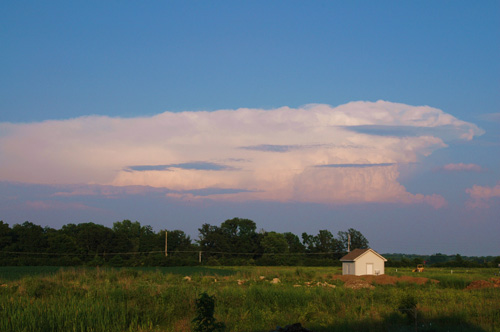
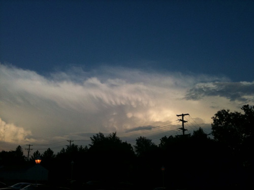
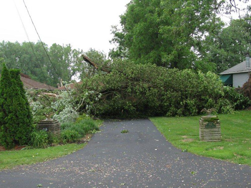
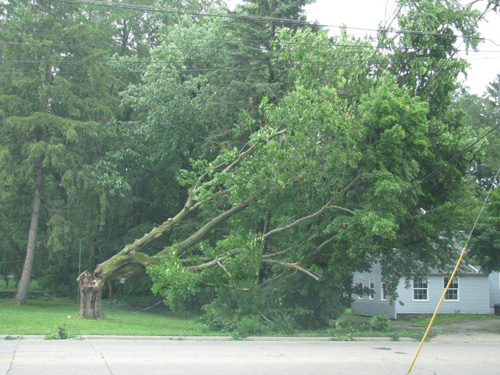
Severe Weather Scattered thunderstorms developed on Friday evening in a very unstable airmass. Although winds aloft were weak, enough instability existed to favor strong updrafts with large hail, and strong downdrafts with damaging winds. Licking County was the hardest hit, where two separate storms hit the Granville and Newark areas with hail up to the size of half dollars and extensive wind damage, including numerous trees down, some roofs off houses and several power poles and antennas blown down. Additional wind damage occurred in Fayette County and parts of west central Ohio.
|
||||||||||
FORECASTS
Hourly Weather Graph
Graphical Forecast
Area Forecast Graphics
Area Forecast Discussion
River Forecasts and Obs
WEATHER HISTORY
Past Observed Weather
Local Climate Graphs
Local Event Summaries
OH / ILN Tornado Climatology
This Day in Weather History
NATIONAL CENTERS
Storm Prediction Center
National Hurricane Center
Weather Prediction Center
Aviation Weather Center
Climate Prediction Center
NCEI
US Dept of Commerce
National Oceanic and Atmospheric Administration
National Weather Service
Wilmington, OH
1901 South State Route 134
Wilmington, OH 45177
937-383-0031
Comments? Questions? Please Contact Us.