Kentucky Mesonet Observations
The Kentucky Mesonet is a network of automated weather and climate monitoring stations
being developed by the Kentucky Climate Center at Western Kentucky University to
serve diverse needs in communities across the Commonwealth of Kentucky.
Active Observation Sites (WFO ILN forecast area):
| Owen County | |
|
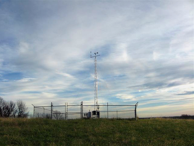
Location: 5 E Owenton Coordinates: 38.55 N, 84.74 W Elevation: 870 feet Installed: December 9, 2008 Click here for live data |
 |
| Carroll County | |
|
Location: 2 E Carrollton Coordinates: 38.69 N, 85.14 W Elevation: 472 feet Installed: May 5, 2009 Click here for live data |
 |
| Mason County | |
|
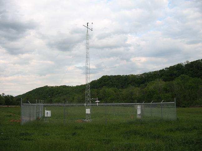
Location: 3 SW Maysville Coordinates: 38.62 N, 83.81 W Elevation: 909 feet Installed: August 25, 2009 Click here for live data |
 |
| Campbell County | |
|
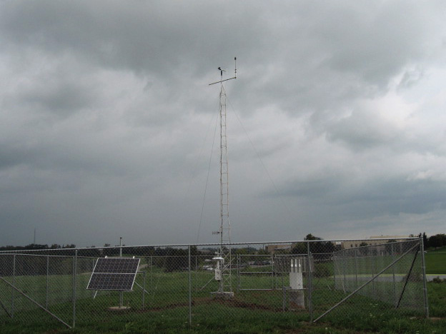
Location: 5 NW Alexandria Coordinates: 39.02 N, 84.47 W Elevation: 838 feet Installed: November 5, 2009 Click here for live data |
 |
| Boone County | |
|
Location: 4 S Burlington Coordinates: 38.97 N, 84.72 W Elevation: 896 feet Installed: December 15, 2009 Click here for live data |
Picture Coming Soon |
| Lewis County | |
|
Location: 6 W Vanceburg Coordinates: 38.58 N, 83.42 W Elevation: 546 feet Installed: June 23, 2010 Click here for live data |
Picture Coming Soon |
Future Observation Sites (WFO ILN forecast area):
| Pendleton County | In Preliminary Planning Stages... |
For a map depicting all of the Kentucky Mesonet observation sites, view this PDF file.
For more information on the Kentucky Mesonet, please visit the Kentucky Mesonet homepage.

