National Weather Service United States Department of Commerce

Winter Storm to Impact the Northern Mid-Atlantic and Interior Northeast; heavy rain in the Southeast

A storm system will bring a variety of hazards to the Eastern US. Wintry precipitation is expected from the central Appalachians to the Northeast. Heavy snow is expected for interior New England and the northern Mid-Atlantic through the night, and icing will continue in the Appalachians this morning. On the south side of the system, heavy rain and thunderstorms will persist across the Southeast. Read More >

Click a location below for detailed forecast.

Last Map Update: Tue, Dec 2, 2025 at 12:08:44 pm EST


Weather impact outlook for Tuesday through Thursday.
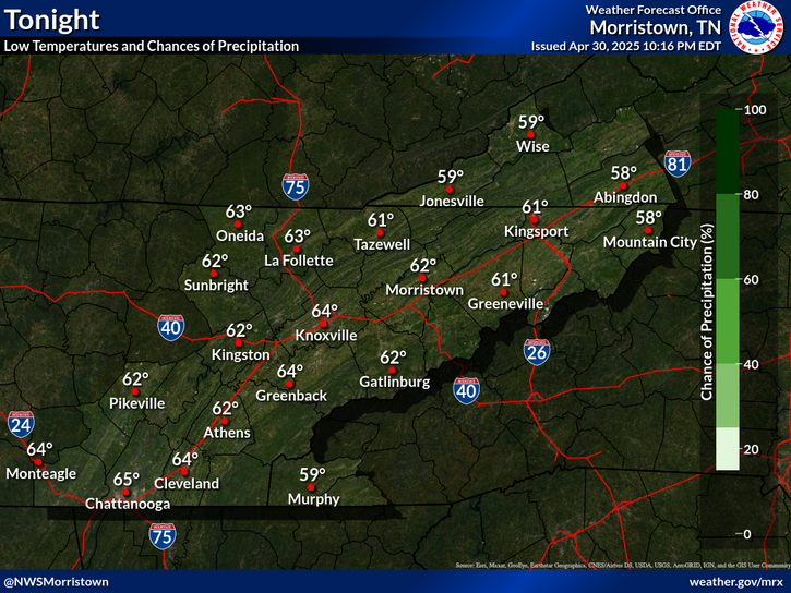
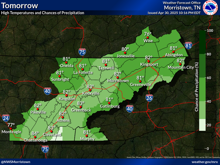
Showers will move across the area through late morning into early afternoon. Some brief wintry mix is possible across the highest points of the mountains and locations along the North Carolina state line, but otherwise, minimal to no impacts are expected for our area. Drier air arrives by tonight with clear, dry weather for Wednesday and Thursday.
Daily climate data (normals and records) for today for the sites plotted. The current normals period is 1991-2020.
Each observation point is apart of our COOP program (Cooperative Observer Program). Each site has a 24 hour observation period that ends and begins at 8 am local time. Each site records temperature, precipitation, and snowfall data. More information about the COOP program can be found here www.nws.noaa.gov/om/coop/ Data began being collected at: Cades Cover on 01/01/1999 || Mount LeConte on 07/01/1987 || Newfound Gap on 01/01/1991 || Sugarlands Visitor Center on 12/01/1921

 Current Weather Observations...
Location Time
(EST)
Weather Vsby.
(SM)
Temp.
(ºF)
Dewpt.
(ºF)
Hum.
(%)
Wind
(mph)
Wind Chill / Heat Index
(ºF)
Pres.
(in)
Abingdon VA11:55Light Rain7393793WNW 833 [WC]29.83
Andrews-Murphy NC11:35Overcast10444293WSW 640 [WC]29.86
Chattanooga TN11:53Overcast10433676NNW 1236 [WC]29.95
Crossville TN11:53Overcast8333191NNW 14G1823 [WC]29.93
Dalton GA11:55Overcast9444499NNW 1038 [WC]29.93
Knoxville TN (McGhee-Tyson)11:53Light Rain \ Mist1 1/4393895N 1231 [WC]29.91
Middlesboro KY11:55Overcast10373284NNW 731 [WC]29.94
Monroe Cnty TN11:35Overcast103939100NNW 12G2031 [WC]29.92
Morristown TN11:35Overcast103939100NW 7G1433 [WC]29.89
Oak Ridge TN11:53Overcast10413579VRB 3-29.93
Tazewell Cnty VA11:15Light Rainless than 1/43636100NW 829 [WC]29.84
Tri-Cities TN11:53Overcast2434192W 937 [WC]29.85
Wise VA11:55Overcast103232100NNW 626 [WC]29.85
Greeneville, TN11:35Mist1 1/24141100W 537 [WC]29.86


Local Weather History For December 2nd...
In 2009, high wind in the mountains gusting up to 81 mph produced $150,000 damage.


Briefing Hydrology Past Weather Events Graphical Hazardous Weather Outlook for East Tennessee East Tennessee Observations
Decision Support Hydrology Past Weather Events GHWO Observations Gridded Forecast
Daily Climate for Middle Tennessee Local East Tennessee Climate Tornado Database Tropical Weather Information NOAA Weather Radio
IDSS Point Forecasts Daily Climate Local Climate Tornado Database Tropical Weather Radio
Daily Climate for Middle Tennessee Probabilistic Data for East Tennessee Virtual Tour of the NWS Morristown Office Skywarn Spotter Training for East Tennessee  
Being Prepared Estar Perparado Probabilistic Virtual Tour Spotter Training