Jackson, Mississippi
Weather Forecast Office
March 14, 2011 Severe Weather
Event Summary
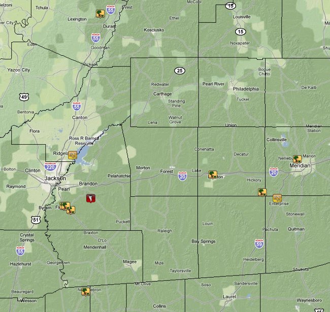
Scattered reports of wind damage occurred across eastern sections of the ArkLaMiss as a cold front moved through the region on March 14, 2011. There was enough wind through the atmosphere to combine with instability to produce wind damage, mainly in the form of downed trees and powerlines. This system moved quickly through the ArkLaMiss and was able to produce one weak tornado in Rankin County.
Storm Survey Information
| Location | Start/ End Time |
Event Type | Fatalities/ Injuries |
Path Length | Path Width |
| Rankin County 5 S Brandon to 6 SE Brandon |
2:06 pm - 2:08 pm |
EF-0 Tornado 85 mph |
0 | 1.6 mi | 75 yds |
| Rankin County Florence to Monterey |
1:52pm | Straight Line Winds 85 mph |
0 | N/A | N/A |
Rankin County EF-0 Tornado
5 S Brandon to 6 SE Brandon
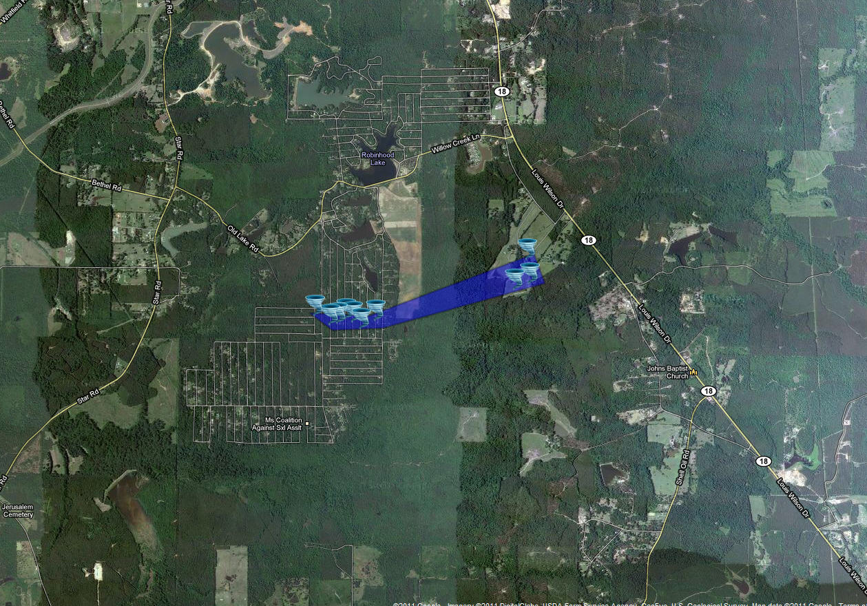
This narrow tornado tracked through the Robinhood subdivision and ended just west of Highway 18 near Mohr Road. Trees were snapped and uprooted in a convergent pattern and two barns had roof and siding damage. The tornado was 25 to 50 yards wide for most of its path, but expanded to a maximum of 75 yards just before dissipation.
Rankin County Straight-line Wind Damage
Florence to Monterey
Numerous large trees were snapped and uprooted in this area. The most concetrated area of damage occurred just east of the Magnolia Springs subdivision where the maximum wind speed was estimated to also be 85mph. All of the damage fell to the east or northeast indicating straight line winds.
US Dept of Commerce
National Oceanic and Atmospheric Administration
National Weather Service
Jackson, Mississippi
234 Weather Service Dr.
Flowood, MS 39232
601-936-2189
Comments? Questions? Please Contact Us.

