Jackson, Mississippi
Weather Forecast Office

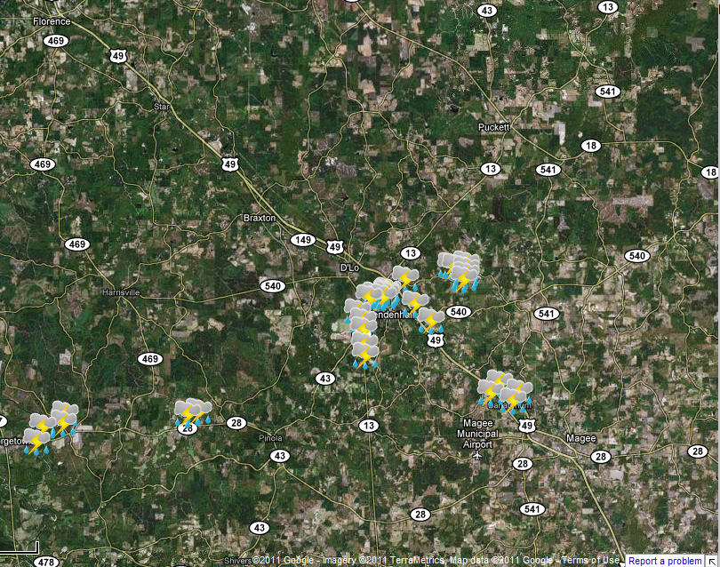
Mendenhall Straight Line Wind Damage
|
Event Summary A swath of straight-line wind damage estimated at 85 mph affected the south and east sides of the city of Mendenhall between 215 and 230 pm. Numerous trees were snapped and uprooted along a path that started near Hwy 43 southwest of town, and continued through the south side of Mendenhall to along Hayes Gray and Poplar Springs Road on the east side of town. A number of the trees fell on powerlines and homes. The path of the damage was 2 to 2.5 miles in width, and showed a clear divergent pattern indicative of straight line winds. Hail up to the size of tennis balls also fell in the same general area. |
|
US Dept of Commerce
National Oceanic and Atmospheric Administration
National Weather Service
Jackson, Mississippi
234 Weather Service Dr.
Flowood, MS 39232
601-936-2189
Comments? Questions? Please Contact Us.

