
Neshoba/Kemper/Winston/Noxubee Counties Tornado
|
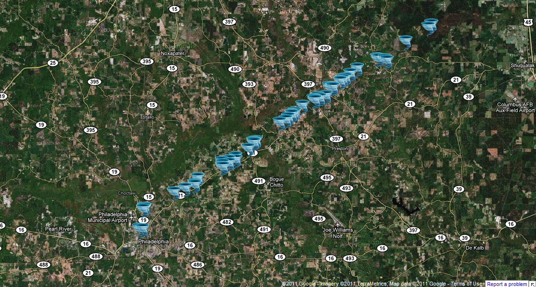
Event Summary This tornado caused a path of extensive damage in northeast Neshoba, extreme northwest Kemper, extreme southeast Winston, and southwest Noxubee counties. The most intense damage occurred in a several mile area from extreme northeast Neshoba county into extreme southeast Winston county. Much of the damage in the core of the tornado in this area was rated as high end EF-3 to EF-5. The three fatalities occurred in northwest Kemper County when a strapped down doublewide mobile home was thrown a distance of approximately 300 yards into a treeline, and then obliterated with the debris and framing scattered many hundreds of yards down the path. There was no indication of ground impacts between the original site of the mobile home and where it ended up to indicate that the mobile home bounced extensively as it travelled. Two traditional frame brick homes in southeast Winston county were completely leveled with only a few small parts of interior walls standing. New vehicles were thrown or rolled hundreds of yards before being wrapped into trees and left almost beyond recognition. In parts of northeast Neshoba and northwest Kemper counties, there was very high end tree damage with extensive denuding and debarking of trees, along with areas where the ground was scoured out to a depth of two feet in places, and asphalt was scoured off pavement. This marks the first EF5 tornado in Mississippi since the Candlestick Park tornado on May 3, 1966. Additionally, this marks the first time since statistics have been kept that two EF5 tornadoes have been recorded on the same day in Mississippi, with the tornado in Smithville also rated as an EF5. |
|

