Jackson, Mississippi
Weather Forecast Office

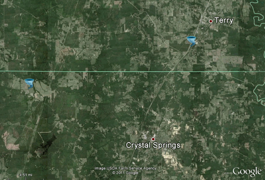
Copiah and Hinds Counties Tornado
|
Event Summary The tornado touched down just west of Galliton Road and tracked northeast across Highway 27, Mitchell Lane and Mitchell Road, into Hinds County where it crossed Haley Road. The tornado then crossed Midway Road at the intersection of Haley Road before crossing I-55 and dissipating just east of Cherry Grove Road. The most intense damage was around Mitchell Lane/Mitchell Road where one wood framed home was pushed off the foundation and destroyed. Another wood framed home was pushed off the foundation. 3 to 4 mobile homes were heavily damaged as they were pushed off the foundations. In Hinds County, a well built home had a large section of the roof removed and carport was blown apart. Major tree damage occurred along the path, especially within the 3 miles of heaviest damage. |
|
US Dept of Commerce
National Oceanic and Atmospheric Administration
National Weather Service
Jackson, Mississippi
234 Weather Service Dr.
Flowood, MS 39232
601-936-2189
Comments? Questions? Please Contact Us.

