Jackson, Mississippi
Weather Forecast Office

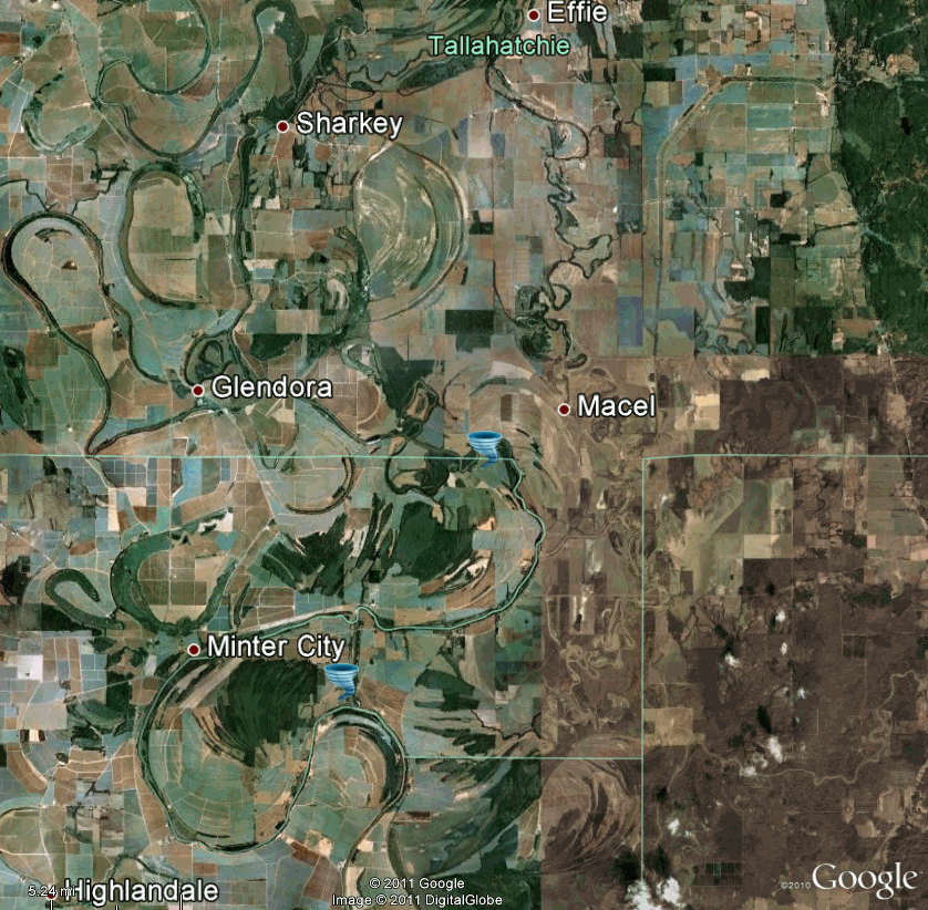
Tallahatchie/Leflore Counties Tornado
Click on Map Below to Zoom In/Out and View Damage Notation
|
Event Summary The tornado touched down in a field and snapped trees and limbs in a rural part of the county. It began in Tallahathie County and tracked across a small portion of northern Leflore County and then back into Tallahatchie County. |
|
US Dept of Commerce
National Oceanic and Atmospheric Administration
National Weather Service
Jackson, Mississippi
234 Weather Service Dr.
Flowood, MS 39232
601-936-2189
Comments? Questions? Please Contact Us.

