Jackson, Mississippi
Weather Forecast Office
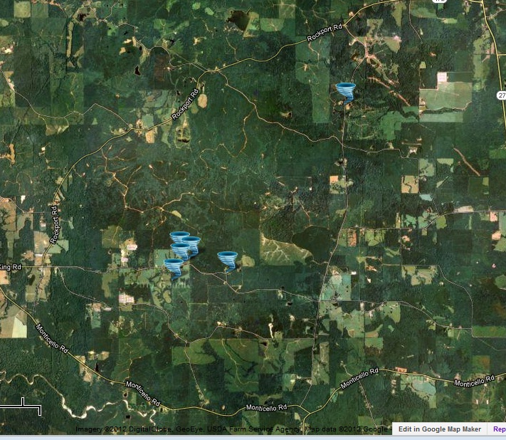
January 25, 2012 Copiah County Tornado
Click on Map Below to Zoom In/Out and Damage Notation
|
Event Summary This tornado was rated EF-1 with maximum winds of 90 mph. Trees were snapped and uprooted and one fell across a power line snapping the pole. Part of the tin roof of a barn was damaged also. |
|
US Dept of Commerce
National Oceanic and Atmospheric Administration
National Weather Service
Jackson, Mississippi
234 Weather Service Dr.
Flowood, MS 39232
601-936-2189
Comments? Questions? Please Contact Us.

