Jackson, Mississippi
Weather Forecast Office

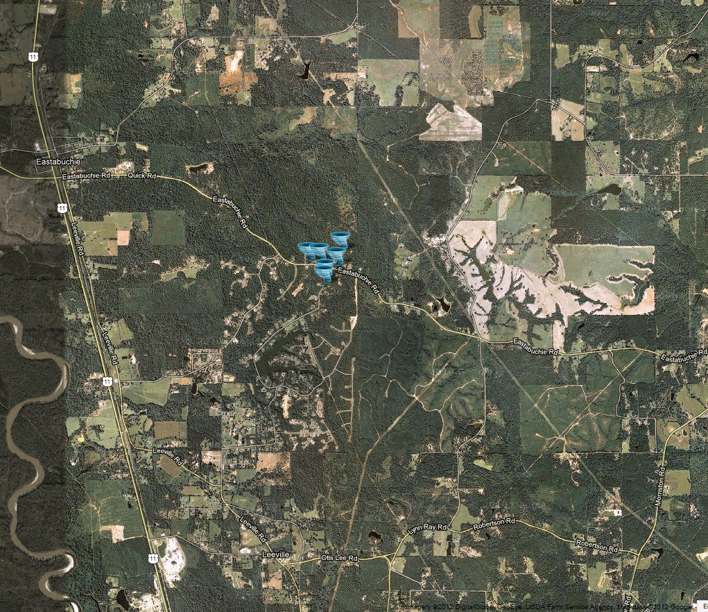
March 21, 2012 Forrest County Tornado
Click on Map Below to Zoom In/Out and View Damage Notation
|
Event Summary
The tornado began off of Longleaf Drive with a couple of softwood trees snapped. One tree fell on a fence and damaged it. The tornado continued north to Eastabuchie Road, where a few more trees were snapped and a few shingles were torn off a roof. It crossed Eastabuchie Road and ended on the north side of the road with a few more snapped trees. |
|
US Dept of Commerce
National Oceanic and Atmospheric Administration
National Weather Service
Jackson, Mississippi
234 Weather Service Dr.
Flowood, MS 39232
601-936-2189
Comments? Questions? Please Contact Us.

